
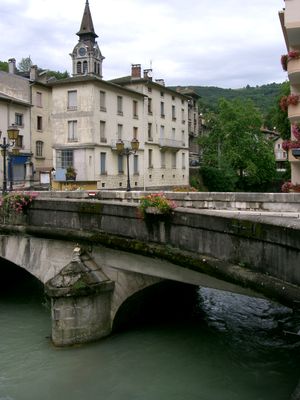
Tenay, commune in Ain, France
Location: Ain
Location: arrondissement of Belley
Elevation above the sea: 562 m
Shares border with: Arandas, Argis, La Burbanche, Chaley, Évosges, Plateau d'Hauteville
Phone: +33474364066
Email: mairie@tenay.fr
Website: http://tenay.fr
GPS coordinates: 45.92000,5.50833
Latest update: May 29, 2025 04:11

Gorges de l'Albarine
3.1 km
Montagne de Suerme
4.3 km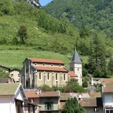
Église Saint-Maurice d'Argis
2.1 km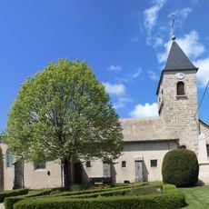
Église Saint-Pierre d'Arandas
3.1 km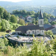
Église Saint-Laurent d'Hostiaz
2.8 km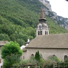
Église Saint-André de Tenay
85 m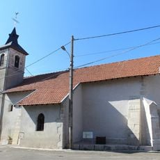
Église Saint-Pierre de Longecombe
4.6 km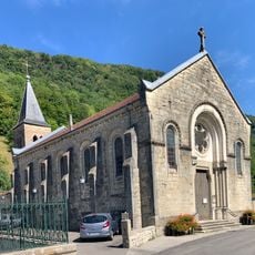
Église Saint-Anthelme de Conand
4.1 km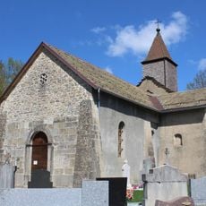
Église Saint-Martin d'Évosges
4.4 km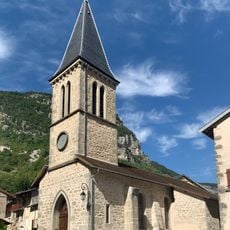
Église de l'Assomption de Chaley
4.2 km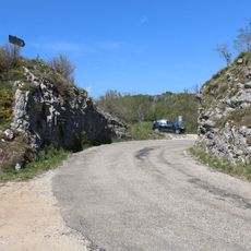
Col d'Évosges, falaises d'Argis et gorges de l'Albarine
3.6 km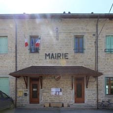
Mairie d'Arandas
3.1 km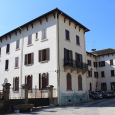
Mairie de Tenay
224 m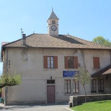
Town hall of Évosges
4.6 km
Town hall of Chaley
4.3 km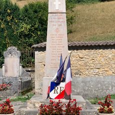
War memorial of Conand
4.1 km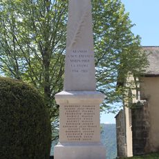
War memorial of Arandas
3.1 km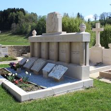
Monument to the Martyrs in Évosges
4.4 km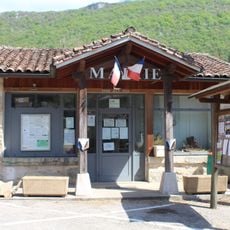
Town hall of Oncieu
5.1 km
Town hall of Conand
4.1 km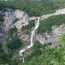
Gorges de l'Albarine et cluse des Hôpitaux
3.8 km
Town hall of Argis
2.1 km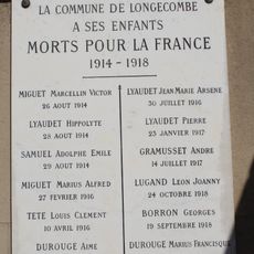
War memorial of Longecombe
4.6 km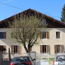
Former town hall of Longecombe
4.6 km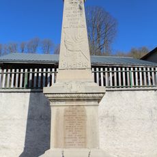
War memorial of Hostiaz
2.9 km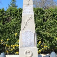
War memorial of Évosges
4.6 km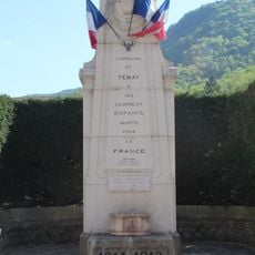
War memorial of Tenay
246 m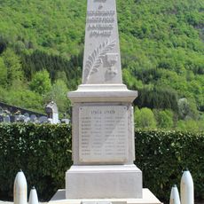
War memorial of Argis
2.1 kmVisited this place? Tap the stars to rate it and share your experience / photos with the community! Try now! You can cancel it anytime.
Discover hidden gems everywhere you go!
From secret cafés to breathtaking viewpoints, skip the crowded tourist spots and find places that match your style. Our app makes it easy with voice search, smart filtering, route optimization, and insider tips from travelers worldwide. Download now for the complete mobile experience.

A unique approach to discovering new places❞
— Le Figaro
All the places worth exploring❞
— France Info
A tailor-made excursion in just a few clicks❞
— 20 Minutes