
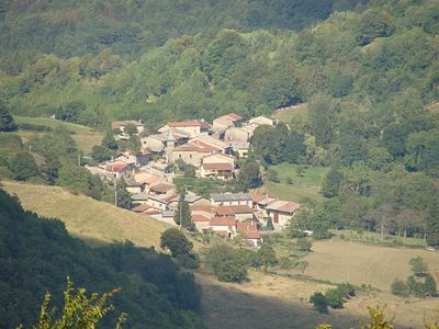
Nivollet-Montgriffon, commune in Ain, France
Location: Ain
Location: arrondissement of Belley
Industry: administration publique générale
Shares border with: L'Abergement-de-Varey, Aranc, Boyeux-Saint-Jérôme, Corlier, Oncieu, Saint-Rambert-en-Bugey
Phone: +33474363585
Email: mairie.nivollet.montgriffon607@orange.fr
GPS coordinates: 45.99306,5.44639
Latest update: March 9, 2025 03:51
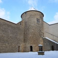
Château des Allymes
3.5 km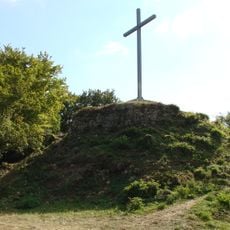
Mont Luisandre
2.7 km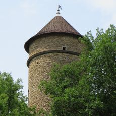
Tour de Cossieux
4.7 km
Église Saint-Jérôme de Boyeux-Saint-Jérôme
3.1 km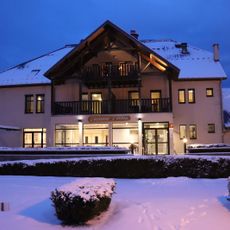
Aranc
4.9 km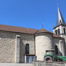
Église Saint-Laurent d'Oncieu
4.3 km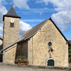
Église Sainte-Anne de Montgriffon
2.1 km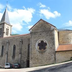
Église Sainte-Madeleine de L'Abergement-de-Varey
2.4 km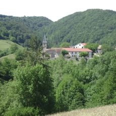
Église Notre-Dame-des-Sept-Douleurs des Pézières
3.1 km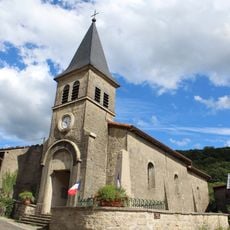
Église Saint-Léger de Nivollet
15 m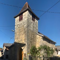
Église Saint-Bonnet de Poncieux
5.2 km
Église Saint-Paul d'Aranc
5.1 km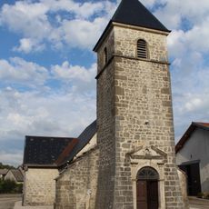
Église Sainte-Agathe de Corlier
5.8 km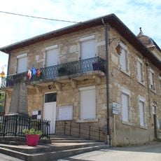
Mairie de L'Abergement-de-Varey
2.4 km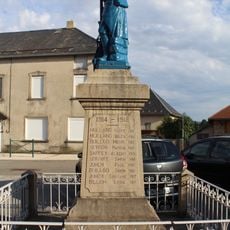
War memorial of Corlier
5.8 km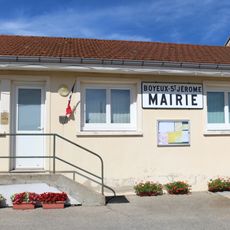
Town hall of Boyeux-Saint-Jérôme
4.2 km
Town hall of Corlier
5.8 km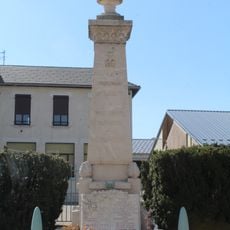
War memorial of Aranc
4.9 km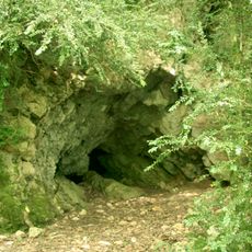
Château de Montgriffon
2.3 km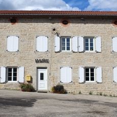
Town hall of Nivollet-Montgriffon
17 m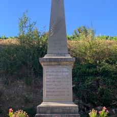
War memorial of Poncieux
5.3 km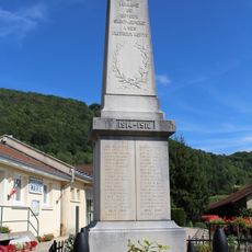
War memorial of Boyeux-Saint-Jérôme
4.2 km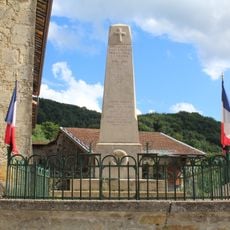
War memorial of Nivollet-Montgriffon
156 m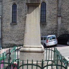
War memorial of L'Abergement-de-Varey
2.4 km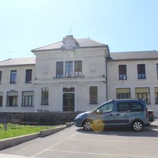
Town hall of Aranc
4.9 km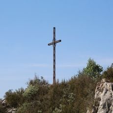
Croix d'Évosges
4.3 km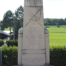
World War II memorial of Corlier
5.8 km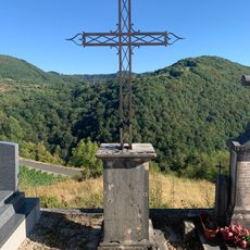
Cemetery cross of Poncieux
5.3 kmVisited this place? Tap the stars to rate it and share your experience / photos with the community! Try now! You can cancel it anytime.
Discover hidden gems everywhere you go!
From secret cafés to breathtaking viewpoints, skip the crowded tourist spots and find places that match your style. Our app makes it easy with voice search, smart filtering, route optimization, and insider tips from travelers worldwide. Download now for the complete mobile experience.

A unique approach to discovering new places❞
— Le Figaro
All the places worth exploring❞
— France Info
A tailor-made excursion in just a few clicks❞
— 20 Minutes