
Longré, commune in Charente, France
Location: canton of Villefagnan
Location: Charente
Location: arrondissement of Confolens
Elevation above the sea: 98 m
Shares border with: Brettes, Paizay-Naudouin-Embourie, Saint-Fraigne, Couture-d'Argenson
Phone: +33545317154
Email: mairie.longre@wanadoo.fr
GPS coordinates: 46.00167,-0.01278
Latest update: June 4, 2025 07:41
Abbaye des Dames
9.7 km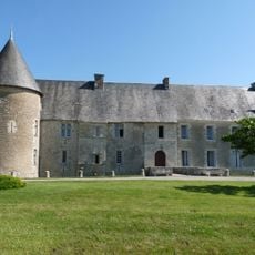
Château de Saveille
4.4 km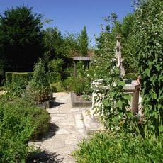
Jardin médiéval de Tusson
9.8 km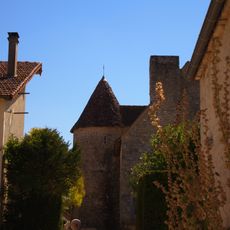
Logis de Cherconnay
1.8 km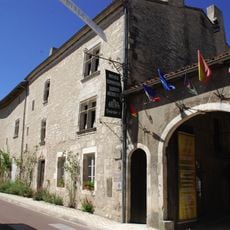
Logis de Marguerite de Valois
9.8 km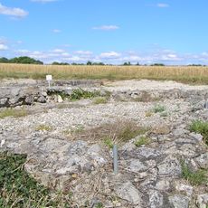
Plaine de Villefagnan
5.3 km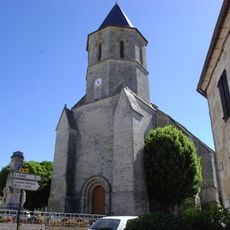
Church of St. Jacques of Tusson
9.8 km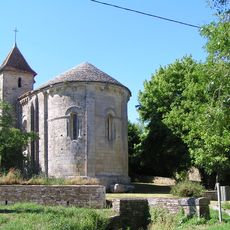
Église Saint-Maixent
5.5 km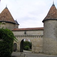
Logis des Tours
7.4 km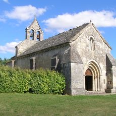
Église Sainte-Radegonde (Theil-Rabier)
6.6 km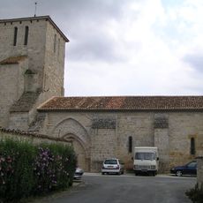
Église Saint-Pierre de Villefagnan
7.2 km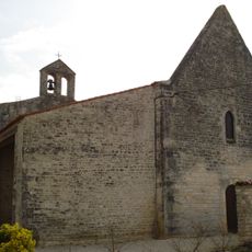
Église Saint-Julien de Chives
10 km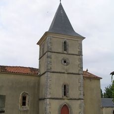
Église Saint-Sébastien de Bessé
8.5 km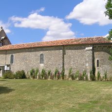
Église Saint-Cybard de Lupsault
8.3 km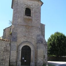
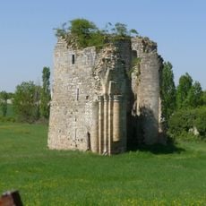
Prieuré Saint-Fraigne
5.3 km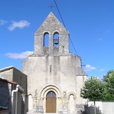
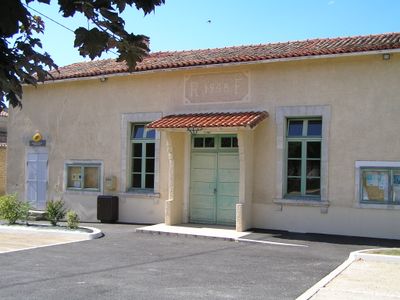
Église Saint-Pierre de Longré
127 m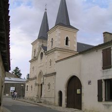
Temple protestant de Villefagnan
7.4 km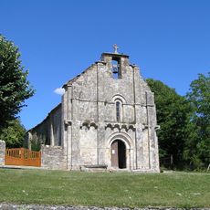
Église Saint-Genis d'Embourie
5.9 km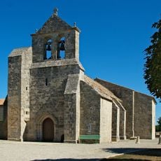
Église Saint-Martin de Pioussay
8.7 km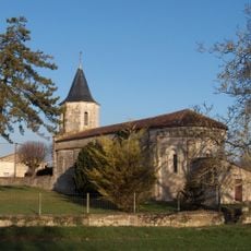
Église Saint-Martial de Souvigné
6.5 km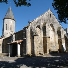
Église Saint-Hilaire de Paizay-Naudouin-Embourie
3.3 km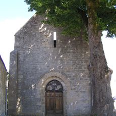
Église Saint-Cybard de Brettes
3.9 km
Église Saint-Pierre d'Ébréon
8 km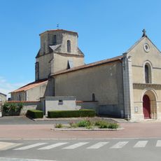
Église Saint-Nicolas de Couture-d'Argenson
5.5 km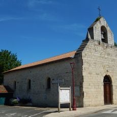
Église Saint-Saturnin de Loubillé
6.5 km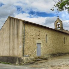
Église Saint-Hilaire d'Hanc
8.2 km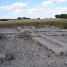
Gallo-Roman villa in Embourie
5.9 km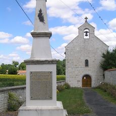
Église Notre-Dame des Gours
6 kmVisited this place? Tap the stars to rate it and share your experience / photos with the community! Try now! You can cancel it anytime.
Discover hidden gems everywhere you go!
From secret cafés to breathtaking viewpoints, skip the crowded tourist spots and find places that match your style. Our app makes it easy with voice search, smart filtering, route optimization, and insider tips from travelers worldwide. Download now for the complete mobile experience.

A unique approach to discovering new places❞
— Le Figaro
All the places worth exploring❞
— France Info
A tailor-made excursion in just a few clicks❞
— 20 Minutes