
Perrex, commune in Ain, France
Location: Ain
Location: communauté de communes du canton de Pont-de-Veyle
Location: communauté de communes de la Veyle
Location: arrondissement of Bourg-en-Bresse
Elevation above the sea: 199 m
Shares border with: Biziat, Mézériat, Saint-Cyr-sur-Menthon, Saint-Genis-sur-Menthon, Saint-Jean-sur-Veyle, Vonnas
Phone: +33474500061
Email: mairie@perrex.fr
Website: https://perrex.fr
GPS coordinates: 46.24556,4.97806
Latest update: June 14, 2025 02:41
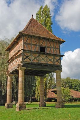

Pigeonnier du Moulin Grand
3.4 km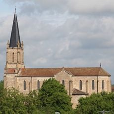
Saint Quiricus church in Saint-Cyr-sur-Menthon
3.2 km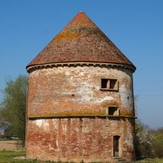
Circular dovecote (Perrex)
89 m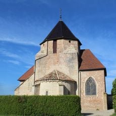
Église de l'Assomption de Perrex
306 m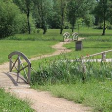
Rives du Menthon
2.9 km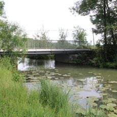
Pont d'Arringes
2.9 km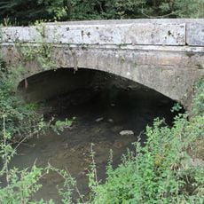
Pont de la Rameau
2 km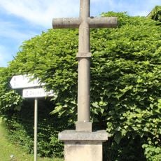
Croix de Champagne
2.9 km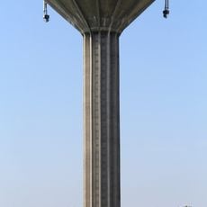
Water tower of Saint-Cyr-sur-Menthon
3 km
Clos du Moulin
3.1 km
Clos le Lavoir
3.1 km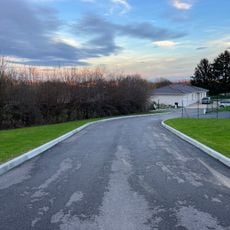
Clos du Champ-Fleuri
3.1 km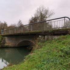
Pont de Corsant
2.1 km
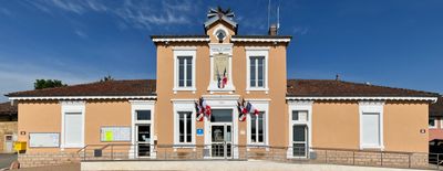
Town hall of Perrex
164 m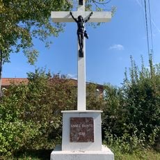
Croix du Sorbier
2.8 km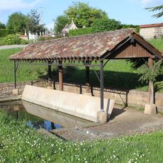
Lavoir de Saint-Cyr-sur-Menthon
3.1 km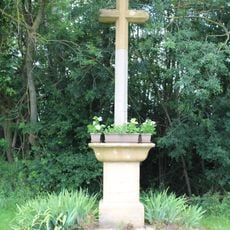
Croix du Château
213 m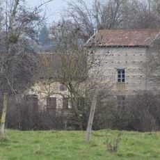
Cassevesce watermill
2.9 km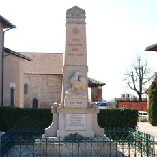
War memorial of Perrex
260 m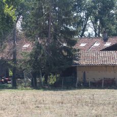
Moulin du Pont
2.1 km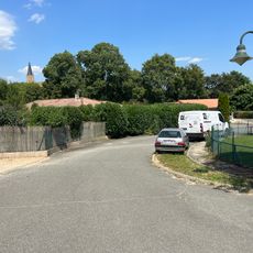
Clos de la Colline
3 km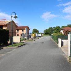
Clos des Champs
3.3 km
Château d'Épeyssoles
2.4 km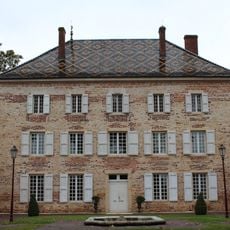
Château de Luponnas
1.6 km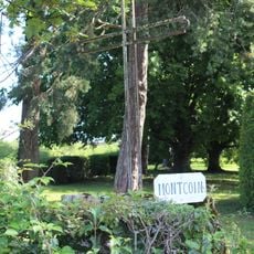
Croix de Moncoin
1.2 km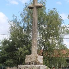
Croix de Montanet
405 m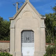
Sépulture de la Famille Mazoyer
3.1 km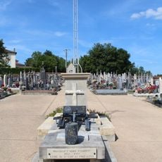
Cemetery cross of Saint-Cyr-sur-Menthon
3.1 kmReviews
Visited this place? Tap the stars to rate it and share your experience / photos with the community! Try now! You can cancel it anytime.
Discover hidden gems everywhere you go!
From secret cafés to breathtaking viewpoints, skip the crowded tourist spots and find places that match your style. Our app makes it easy with voice search, smart filtering, route optimization, and insider tips from travelers worldwide. Download now for the complete mobile experience.

A unique approach to discovering new places❞
— Le Figaro
All the places worth exploring❞
— France Info
A tailor-made excursion in just a few clicks❞
— 20 Minutes