
Reyrieux, commune in Ain, France
Location: Ain
Location: arrondissement of Bourg-en-Bresse
Elevation above the sea: 241 m
Shares border with: Civrieux, Misérieux, Parcieux, Rancé, Saint-Didier-de-Formans, Sainte-Euphémie, Saint-Jean-de-Thurigneux, Toussieux, Trévoux, Quincieux
Phone: +33474089520
Email: accueil@reyrieux.fr
Website: http://reyrieux.fr
GPS coordinates: 45.93444,4.82333
Latest update: May 29, 2025 00:00

Église Saint-Bonnet de Toussieux
2.9 km
Église Saint-Roch de Parcieux
2.1 km
Église Saint-Pierre-et-Saint-Paul de Reyrieux
95 m
Église Saint-Barthélemy de Massieux
2.9 km
War memorial of Parcieux
2.1 km
Town hall of Parcieux
2.1 km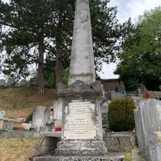
Monument sépulcral des Époux Guichard
3.4 km
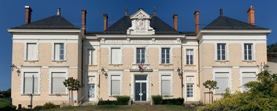
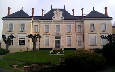
Town hall of Reyrieux
154 m
Croix de l'Église
84 m
War memorial of Reyrieux
77 m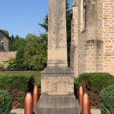
War memorial of Toussieux
2.9 km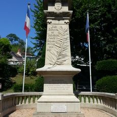
War memorial of Trévoux
3.4 km
Calvaire de Parcieux
2.4 km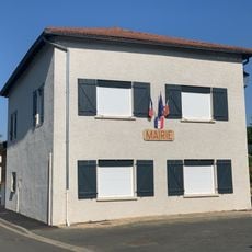
Town hall of Toussieux
3 km
War memorial of Massieux
2.9 km
Croix d'Ain
1.9 km
Croix de confrérie de la place de l'Église
2.1 km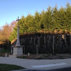
Croix de Toussieux
2.9 km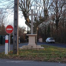
Croix des Bruyères
3.1 km
Chapelle funéraire des familles Rival et Nouvellet
4.5 km
Lavoir de la Font-Bernalin
2 km
Cemetery cross of Parcieux
2.5 km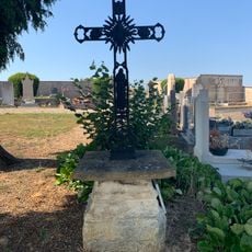
Cemetery cross of Toussieux
3.2 km
Croix du Chemin du Trêve d'Ars
1.4 km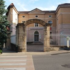
Hôtel de Fontbleins
3.5 km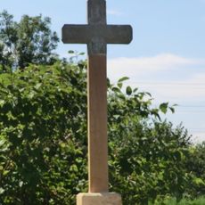
Croix à Massieux
3.1 km
Mairie de Massieux
2.9 km
Salle des Fêtes de Trévoux
3.4 kmReviews
Visited this place? Tap the stars to rate it and share your experience / photos with the community! Try now! You can cancel it anytime.
Discover hidden gems everywhere you go!
From secret cafés to breathtaking viewpoints, skip the crowded tourist spots and find places that match your style. Our app makes it easy with voice search, smart filtering, route optimization, and insider tips from travelers worldwide. Download now for the complete mobile experience.

A unique approach to discovering new places❞
— Le Figaro
All the places worth exploring❞
— France Info
A tailor-made excursion in just a few clicks❞
— 20 Minutes