
Bouin, commune in Deux-Sèvres, France
Location: canton of Chef-Boutonne
Location: Deux-Sèvres
Location: arrondissement of Niort
Industry: administration publique générale
Shares border with: Ardilleux, Hanc, Melleran
GPS coordinates: 46.08556,-0.01528
Latest update: March 8, 2025 05:55

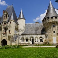
Château de Javarzay
5.8 km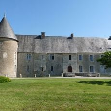
Château de Saveille
5 km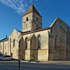
Église Saint-Chartier de Javarzay
5.7 km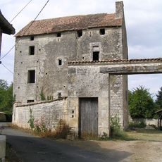
Logis de Tessé
7.5 km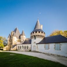
Chateau de Javarzay
5.8 km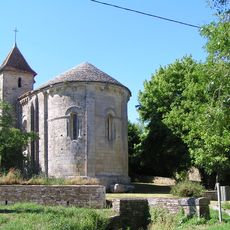
Église Saint-Maixent
8.7 km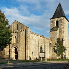
Église Notre-Dame de Bouin
77 m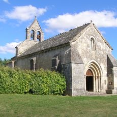
Église Sainte-Radegonde (Theil-Rabier)
5.8 km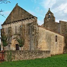
Église Saint-Pierre de Loizé
5.3 km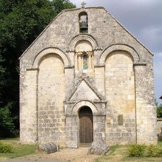
Église Sainte-Madeleine
7.9 km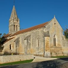
Église Notre-Dame de Melleran
5.3 km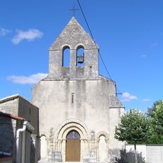
Église Saint-Pierre de Longré
9.4 km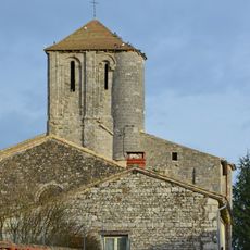
Église Saint-Junien de Vaussais
10.3 km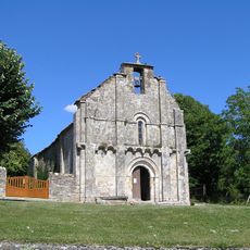
Église Saint-Genis d'Embourie
6.6 km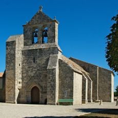
Église Saint-Martin de Pioussay
3.3 km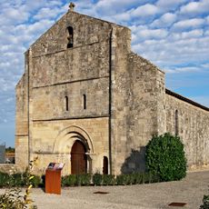
Église Notre-Dame des Alleuds
8.6 km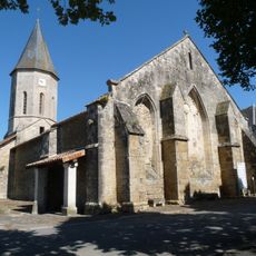
Église Saint-Hilaire de Paizay-Naudouin-Embourie
6.2 km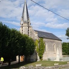
Église Saint-Médard de Fontenille
9.9 km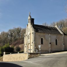
Église Saint-Médard de Sompt
10.5 km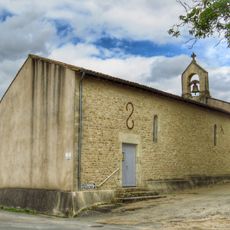
Église Saint-Hilaire d'Hanc
1.2 km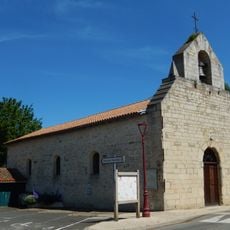
Église Saint-Saturnin de Loubillé
5.4 km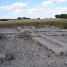
Gallo-Roman villa in Embourie
6.5 km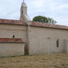
Église Saint-Junien
7.6 km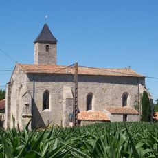
Église de Saint-Martin-d'Entraigues
9 km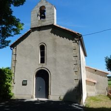
Église Notre-Dame de Villemain
8.9 km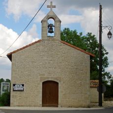
Chapelle Saint-Grégoire de Crézières
9.2 km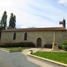
Église Saint-Junien de La Chapelle-Pouilloux
6.6 km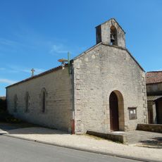
Église Saint-Pierre de Loubigné
5.5 kmReviews
Visited this place? Tap the stars to rate it and share your experience / photos with the community! Try now! You can cancel it anytime.
Discover hidden gems everywhere you go!
From secret cafés to breathtaking viewpoints, skip the crowded tourist spots and find places that match your style. Our app makes it easy with voice search, smart filtering, route optimization, and insider tips from travelers worldwide. Download now for the complete mobile experience.

A unique approach to discovering new places❞
— Le Figaro
All the places worth exploring❞
— France Info
A tailor-made excursion in just a few clicks❞
— 20 Minutes