
Soyers, commune in Haute-Marne, France
Location: canton of Laferté-sur-Amance
Location: Haute-Marne
Location: arrondissement of Langres
Industry: administration publique générale
Shares border with: Anrosey, Chézeaux, Guyonvelle, Voisey
Phone: +33325880274
Email: mairie.soyers@wanadoo.fr
GPS coordinates: 47.86917,5.69389
Latest update: March 23, 2025 12:58
Abbaye de Beaulieu
10.5 km
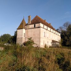
Château d'Ouge
8.1 km
Ruines gallo-romaines de Bourbonne-les-Bains
9.8 km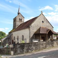
Église Saint-Marcellin de Villars-Saint-Marcellin
10.3 km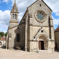
Église Notre-Dame-de-l'Assomption de Bourbonne-les-Bains
10.2 km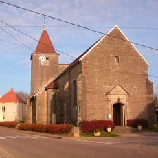
Église d'Ouge
8.1 km
Arboretum de Montmorency
9.9 km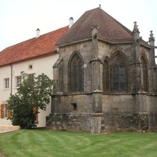
Château-Dessous
9.5 km
Château-Dessus
9.4 km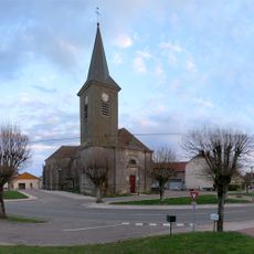
Prieuré de Varennes
6.2 km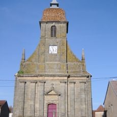
Église de l'Assomption de Cemboing
12.5 km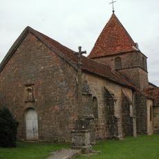
Église de la Nativité-de-Notre-Dame de Chauvirey-le-Châtel
9.6 km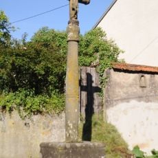
Croix de Cemboing
12.4 km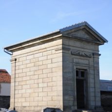
Monument Mathelat
12.3 km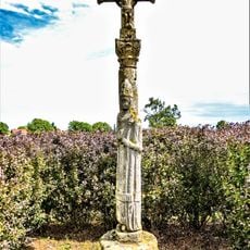
Croix de Saint-Vital
8.4 km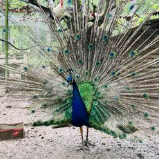
Parc Animalier de la Bannie
7.7 km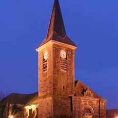
Église Saint-Gengoulf de Varennes-sur-Amance
6.2 km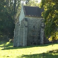
Notre-Dame de Presles (Church : Hortes, France)
9.5 km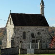
Chapelle Saint-Gengoulph de Varennes-sur-Amance
6.3 km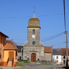
Église de Barges
11.6 km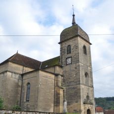
Église de Montigny-lès-Cherlieu
11.8 km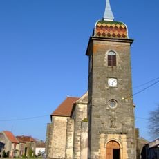
Église de Vernois-sur-Mance
7.3 km
Eglise de Fayl-Billot
12.1 km
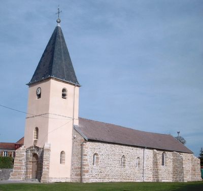
Église Saint-Valbert de Soyers
58 m
Chapelle de Château-Dessous
9.5 km
Chapelle de l'abbaye de Beaulieu
10.5 km
Abbatiale de Cherlieu
11.8 km
Mairie de Varennes-sur-Amance
6.2 kmVisited this place? Tap the stars to rate it and share your experience / photos with the community! Try now! You can cancel it anytime.
Discover hidden gems everywhere you go!
From secret cafés to breathtaking viewpoints, skip the crowded tourist spots and find places that match your style. Our app makes it easy with voice search, smart filtering, route optimization, and insider tips from travelers worldwide. Download now for the complete mobile experience.

A unique approach to discovering new places❞
— Le Figaro
All the places worth exploring❞
— France Info
A tailor-made excursion in just a few clicks❞
— 20 Minutes