
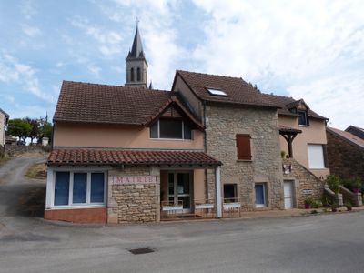
Vailhourles, commune in Aveyron, France
Location: Aveyron
Location: arrondissement of Villefranche-de-Rouergue
Elevation above the sea: 368 m
Shares border with: Martiel, La Rouquette, Savignac, Castanet, Parisot, Puylagarde
Phone: +33565295409
Email: mairie.vailhourles@wanadoo.fr
GPS coordinates: 44.30528,1.90639
Latest update: June 13, 2025 09:34
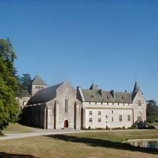
Loc-Dieu Abbey
4.3 km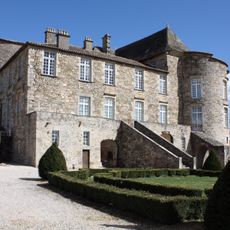
Château de Saint Projet
8.9 km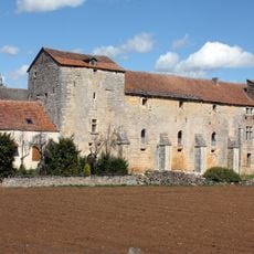
Prieuré de Laramière
6 km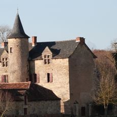
Château de Cambayrac
3.9 km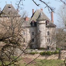
Château de la Pèze
9.1 km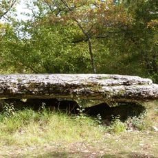
Dolmen de la Peyro Levado
7 km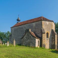
Chapelle de Teysseroles
7.7 km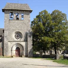
Église Saint-Georges de Laramière
6 km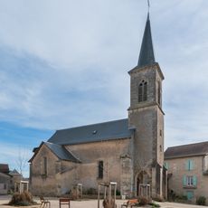
Église Saint-Grat de Mémer
2 km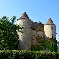
Château de l'Astorguié
6.1 km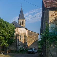
Église de Saint-Igne
7.8 km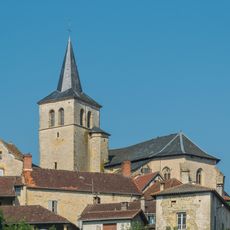
Église Saint-Andéol de Parisot
6 km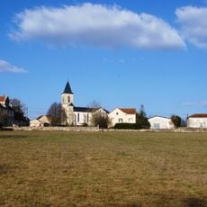
Église Saint-Pierre-ès-Liens de Vidaillac
7.4 km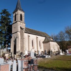
Église Saint-Amans d'Orlhonac
8.5 km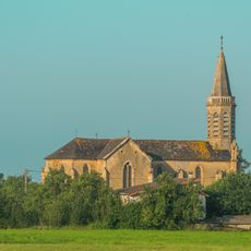
Église Saint Pierre-ès-Liens du Cuzoul
6.5 km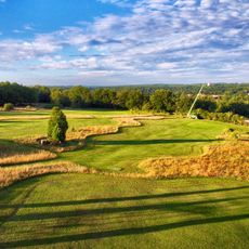
Golf du Totche
8.6 km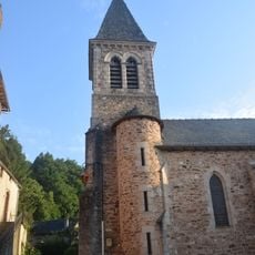
Église de Mazerolles
8.5 km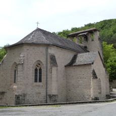
Église Saint-Pierre de La Rouquette
5.3 km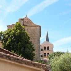
Église Saint-Jacques de Puylagarde
5.6 km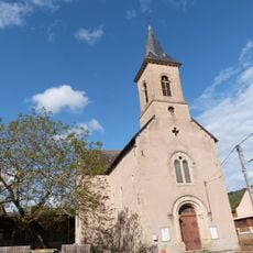
Église Saint-Laurent de Floirac
7.7 km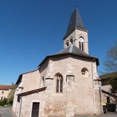
Église Saint-Barthélemy de Martiel
8 km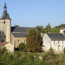
Église Saint-Étienne de Savignac
7.8 km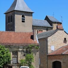
Église Saint-Grat-et-Saint-Ansul de Saint-Grat
2.2 km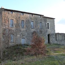
Château de Labro
6.5 km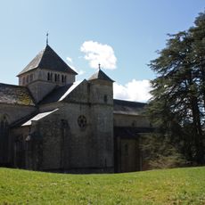
Abbatiale Notre-Dame de Loc-Dieu
4.3 km
Chapelle Saint-Fiacre de Vailhourles
363 m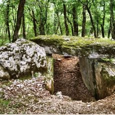
Dolmen de Marcigaliet 1
7.8 km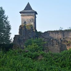
Ruines du château de Pervinquières
8.5 kmReviews
Visited this place? Tap the stars to rate it and share your experience / photos with the community! Try now! You can cancel it anytime.
Discover hidden gems everywhere you go!
From secret cafés to breathtaking viewpoints, skip the crowded tourist spots and find places that match your style. Our app makes it easy with voice search, smart filtering, route optimization, and insider tips from travelers worldwide. Download now for the complete mobile experience.

A unique approach to discovering new places❞
— Le Figaro
All the places worth exploring❞
— France Info
A tailor-made excursion in just a few clicks❞
— 20 Minutes