
Manhac, commune in Aveyron, France
Location: canton of Baraqueville-Sauveterre
Location: Aveyron
Location: arrondissement of Villefranche-de-Rouergue
Industry: administration publique générale
Shares border with: Calmont, Camboulazet, Baraqueville, Sainte-Juliette-sur-Viaur
Phone: +33565690353
Email: mairie@manhac.fr
Website: https://manhac.fr
GPS coordinates: 44.25472,2.46917
Latest update: May 1, 2025 18:17
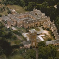
Bonnecombe abbey
6.9 km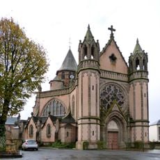
Basilique Notre-Dame de Ceignac
4.8 km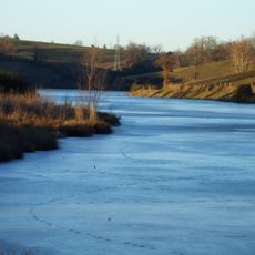
Étang de la Brienne
8 km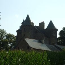
Château de Planèzes
7 km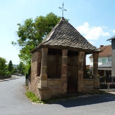
Oratoire de Ceignac
4.7 km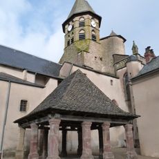
Halle de Ceignac
4.8 km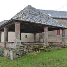
Halle-oratoire de Naves
1.5 km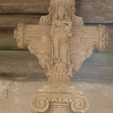
Croix de chemin (Calmont)
4.7 km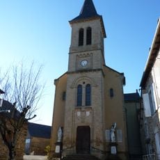
Église Saint-Blaise de Salan
5 km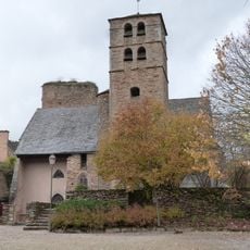
Église de Calmont
3.4 km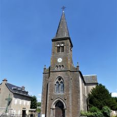
Église Sainte-Julitte de Sainte-Juliette-sur-Viaur
6.1 km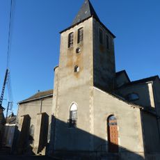
Église de Manhac
14 m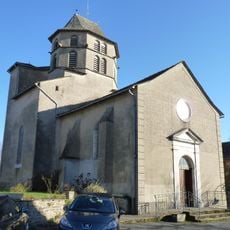
Église Saint-Amans de Camboulazet
3.6 km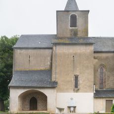
Église Sainte-Marie de Vors
4 km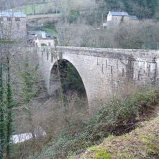
Pont du Diable
6.8 km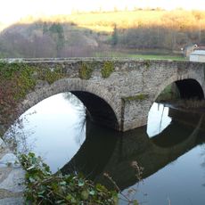
Pont de Grand-Fuel
7 km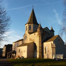
Église Saint-Sauveur de Grandfuel
7.4 km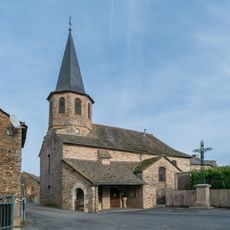
Église Saint-Pierre du Piboul
4.6 km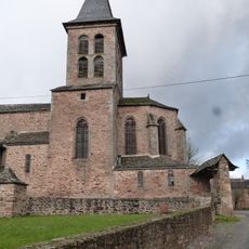
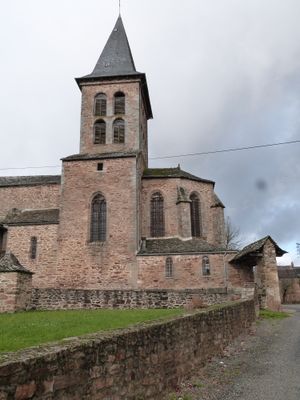
Église Saint-Pierre de Manhac
1.5 km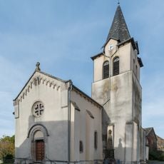
Église Saint-Pierre-ès-Liens de Tayac
6.6 km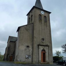
Église Saint-Laurent de Carcenac-Peyralès
3.7 km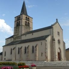
Église Saint-Maurice de Luc
8.4 km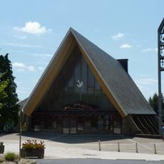
Église Notre-Dame de Baraqueville
3.8 km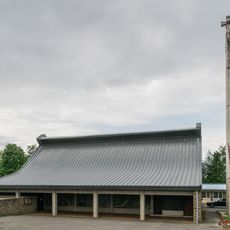
Church in La Primaube
8.4 km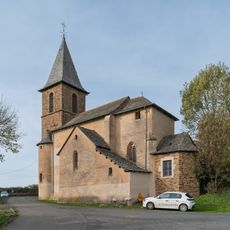
Église Sainte-Juliette de Milhac
4.2 km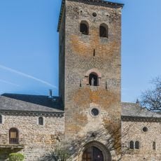
Tour-porche Saint-Bernard de l'abbaye de Bonnecombe
6.9 km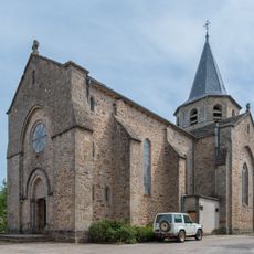
Église Notre-Dame de Comps-la-Grand-Ville
8.3 km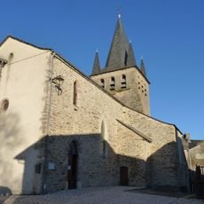
Église Saint-Amans de Magrin
6.2 kmVisited this place? Tap the stars to rate it and share your experience / photos with the community! Try now! You can cancel it anytime.
Discover hidden gems everywhere you go!
From secret cafés to breathtaking viewpoints, skip the crowded tourist spots and find places that match your style. Our app makes it easy with voice search, smart filtering, route optimization, and insider tips from travelers worldwide. Download now for the complete mobile experience.

A unique approach to discovering new places❞
— Le Figaro
All the places worth exploring❞
— France Info
A tailor-made excursion in just a few clicks❞
— 20 Minutes