
Viviez, commune in Aveyron, France
Location: canton of Aubin
Location: Aveyron
Location: arrondissement of Villefranche-de-Rouergue
Elevation above the sea: 266 m
Shares border with: Les Albres, Aubin, Boisse-Penchot, Decazeville
Website: http://viviez.fr/accueil/index.php?accueil=1
GPS coordinates: 44.55639,2.21583
Latest update: June 3, 2025 17:22
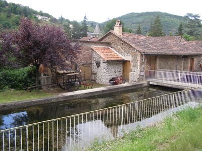
La Découverte
4.1 km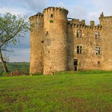
Château de Pagax
5.4 km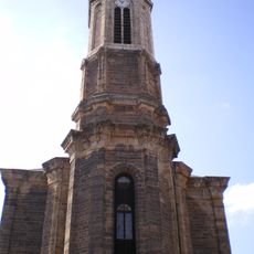
Église Notre-Dame de Decazeville
2.9 km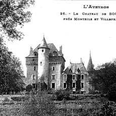
Château de Bouillac
4.8 km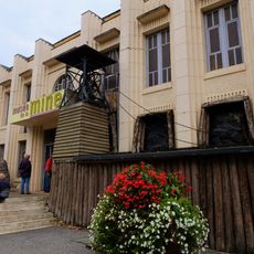
Museum of the Lucien-Mazars mine
4.1 km
Decazeville war memorial
2.9 km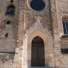
Église Saint-Blaise d'Aubin
3.9 km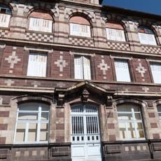
École Jules-Ferry du Gua
4.8 km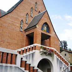
Église Notre-Dame-des-Mines
4.6 km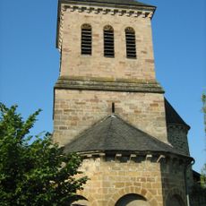
Église Saint-Martin de Bouillac
4.7 km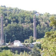
Forges et fonderies d'Aubin
5 km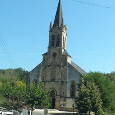
Église Notre-Dame du Gua
4.9 km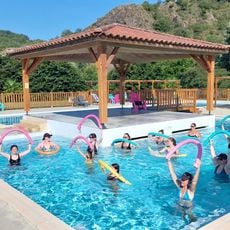
Swimming-pool of the campsite
6.1 km
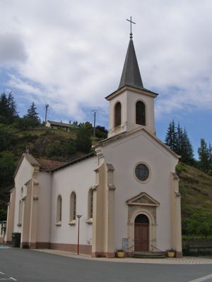
Église Saint-Martin de Viviez
69 m
Église Saint-Saturnin d'Agnac
4.8 km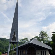
Église Saint-Joseph de Boisse-Penchot
4 km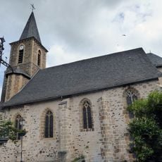
Église Saint-Martin de Flagnac
5.9 km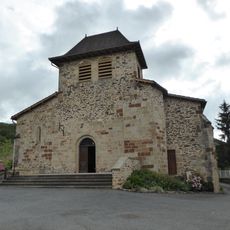
Église Saint-Saturnin de Cuzac
6.3 km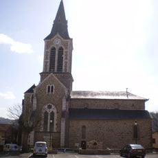
Église Saint-Adrien de Livinhac-le-Haut
4.1 km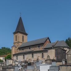
Église Saint-Michel de Decazeville
4.9 km
Église Saint-Denis des Albres
4 km
Église de Valzergues
6.4 km
Church in Galgan
6.6 km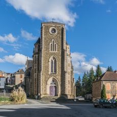
Saint Julian Church in Cransac
6.4 km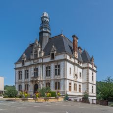
Mairie de Decazeville
3.3 km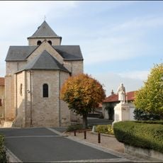
Église Saint-Martin d'Asprières
5.7 km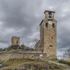
Église Saint-Amans-du-Fort
4.1 km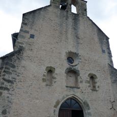
Chapelle Notre-Dame-de-la-Pitié de Flagnac
5.9 kmVisited this place? Tap the stars to rate it and share your experience / photos with the community! Try now! You can cancel it anytime.
Discover hidden gems everywhere you go!
From secret cafés to breathtaking viewpoints, skip the crowded tourist spots and find places that match your style. Our app makes it easy with voice search, smart filtering, route optimization, and insider tips from travelers worldwide. Download now for the complete mobile experience.

A unique approach to discovering new places❞
— Le Figaro
All the places worth exploring❞
— France Info
A tailor-made excursion in just a few clicks❞
— 20 Minutes