
Saint-Jean-de-la-Forêt, former commune in Orne, France
Location: Orne
Location: canton of Nocé
Location: arrondissement of Mortagne-au-Perche
Shares border with: Colonard-Corubert, Saint-Aubin-des-Grois, Dame-Marie, Sérigny
GPS coordinates: 48.37833,0.63639
Latest update: March 25, 2025 17:14
Parc naturel régional du Perche
3.3 km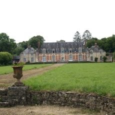
Château du Tertre
4.4 km
Salvator church of Bellême
5.6 km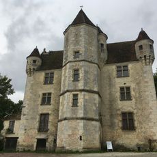
Manoir de Courboyer
3.2 km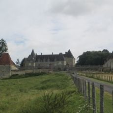
Château des Feugerets
5.9 km
Prieuré de Sainte-Gauburge )
6.1 km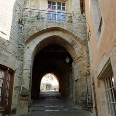
Ville close de Bellême
5.5 km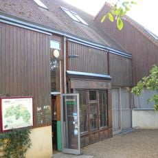
Écomusée du Perche
6.1 km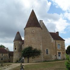
Manoir de Lormarin
3.7 km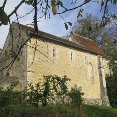
Chapelle Saint-Santin
5.7 km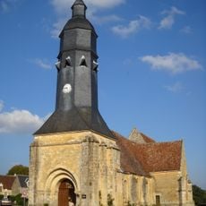
Église Saint-Cyr-et-Sainte-Julitte de Saint-Cyr-la-Rosière
5.3 km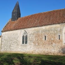
Ancienne église de Courthioust
3.7 km
Église Saint-Martin de Nocé
3.3 km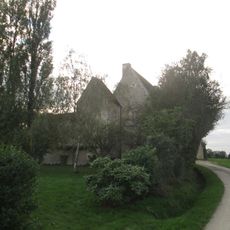
Manoir du Grand-Saint-Quentin
6.4 km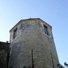
Tour de l'Horloge
5.5 km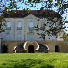
Manoir de Barville
3.4 km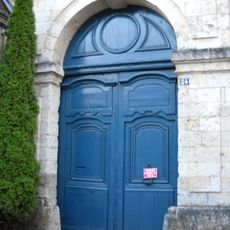
Maison du Gouverneur, Bellême
5.4 km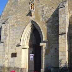
Chapelle Notre-Dame de Clémencé
6 km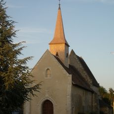
Enclos prioral de Dame-Marie
3 km
Hôtel Bansard des Bois
5.4 km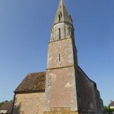
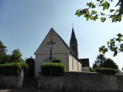
Église Saint-Jean de Saint-Jean-de-la-Forêt
50 m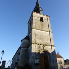
Église Saint-Ouen de Saint-Ouen-de-la-Cour
5.3 km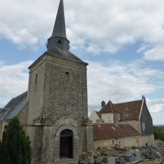
Église Saint-Rémi de Sérigny
4.5 km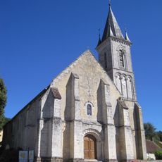
Église Saint-Pierre de Courcerault
6.7 km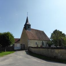
Église Saint-Aubin de Saint-Aubin-des-Grois
2.6 km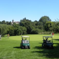
Golf de Bellême
6.3 km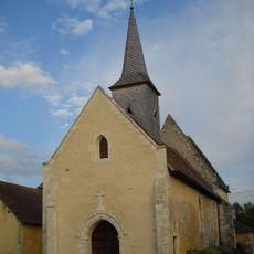
Église Notre-Dame de Dame-Marie
3 km
Menhir dit Pierre des Druides
5.1 kmReviews
Visited this place? Tap the stars to rate it and share your experience / photos with the community! Try now! You can cancel it anytime.
Discover hidden gems everywhere you go!
From secret cafés to breathtaking viewpoints, skip the crowded tourist spots and find places that match your style. Our app makes it easy with voice search, smart filtering, route optimization, and insider tips from travelers worldwide. Download now for the complete mobile experience.

A unique approach to discovering new places❞
— Le Figaro
All the places worth exploring❞
— France Info
A tailor-made excursion in just a few clicks❞
— 20 Minutes