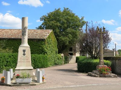
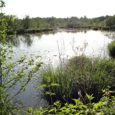
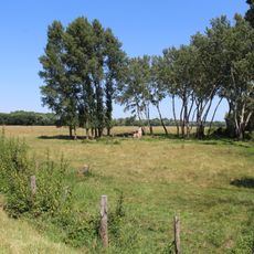
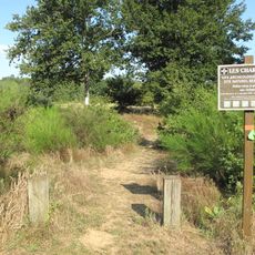
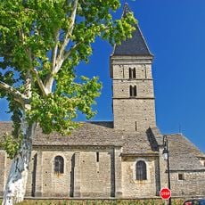
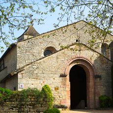
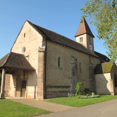
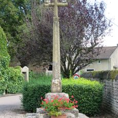
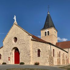
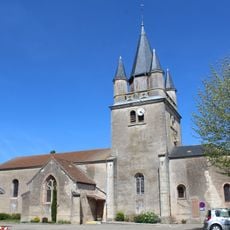
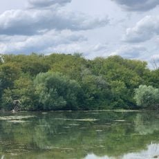
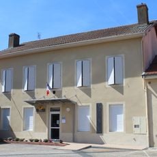
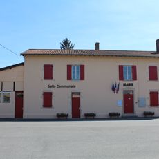
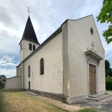
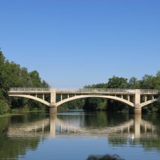
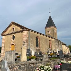
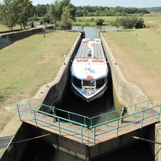
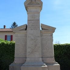
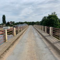
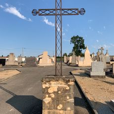
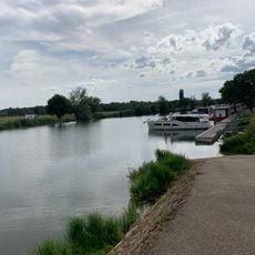
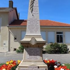
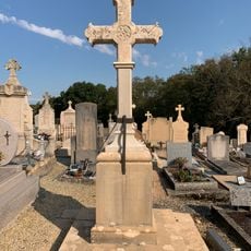
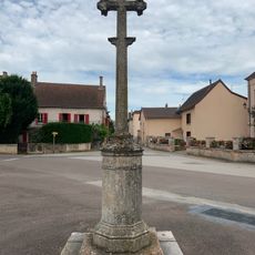
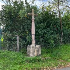
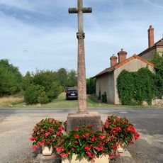
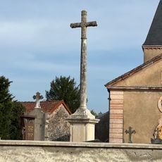
La Truchère, commune in Saône-et-Loire, France
Location: comunitat de comunes de Tournugeois
Location: arrondissement of Mâcon
Location: Saône-et-Loire
Elevation above the sea: 173 m
Shares border with: Sermoyer, Préty, Ratenelle, Le Villars
Phone: +33385511585
Email: mairie.latruchere@wanadoo.fr
GPS coordinates: 46.51583,4.95139
Latest update: June 3, 2025 15:13
Réserve naturelle nationale de La Truchère-Ratenelle
1.8 km
Prairies inondables du val de Saône
4.7 km
Site des Charmes
2.9 km
Saint Bartholomew Church
4.1 km
Prieuré du Villars
2.2 km
Église Notre-Dame de Préty
3.2 km
Calvaire de La Truchère
37 m
Église Saint-Pierre d'Arbigny
5.4 km
Église Saint-Pierre-et-Saint-Paul de Sermoyer
3 km
Île de la Motte
5.1 km
Mairie de Sermoyer
3 km
Town hall of Arbigny
5.3 km
Église Saint-Roch de La Truchère
211 m
Lavoir de Lacrost
4.4 km
Pont de Pont-Seille
2.2 km
Lavoir du Bourg de Préty
3 km
Église Notre-Dame-de-l'Assomption de Ratenelle
5.3 km
Écluse de La Truchère
650 m
War memorial of Arbigny
5.3 km
Pont routier du barrage de La Truchère
584 m
Cemetery cross of Sermoyer
2.5 km
Port de La Truchère
278 m
War memorial of Sermoyer
3 km
Cemetery cross of Arbigny
5.4 km
Croix de la place de l'Église
3.2 km
Croix de la route de Cuisery
4.9 km
Croix de l'église de La Truchère
193 m
Croix de cimetière de Ratenelle
5.3 kmReviews
Visited this place? Tap the stars to rate it and share your experience / photos with the community! Try now! You can cancel it anytime.
Discover hidden gems everywhere you go!
From secret cafés to breathtaking viewpoints, skip the crowded tourist spots and find places that match your style. Our app makes it easy with voice search, smart filtering, route optimization, and insider tips from travelers worldwide. Download now for the complete mobile experience.
A unique approach to discovering new places❞
— Le Figaro
All the places worth exploring❞
— France Info
A tailor-made excursion in just a few clicks❞
— 20 Minutes