Ferme de Saint-Romain, human settlement in France
Location: Romenay
Part of: domaine de Saint-Romain
Address: Saint-Romain
GPS coordinates: 46.51220,5.02000
Latest update: November 20, 2025 04:59
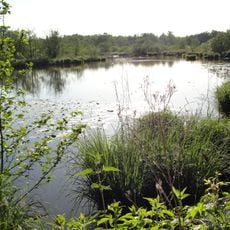
Réserve naturelle nationale de La Truchère-Ratenelle
3.7 km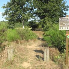
Site des Charmes
2.3 km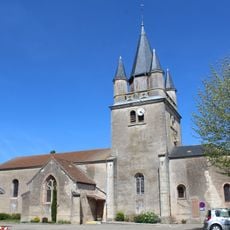
Église Saint-Pierre-et-Saint-Paul de Sermoyer
3.5 km
Pont des Guillemots
727 m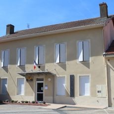
Mairie de Sermoyer
3.5 km
Pont du Moulin Neuf
1.5 km
Pont de Varennes
2.5 km
Ponceau Les Nièvres
672 m
Pont de chemin de fer de Ratenelle
1.8 km
Pont Rouge sur la Sâne
3.2 km
Pont de la Culot
1.4 km
Ponceau sur le Bief Michaud
3.1 km
Pont de la Beine
2.7 km
Ponceau du Carrouge
776 m
Ponceau sur l'ancien lit de la Seille
3.7 km
Pont des Maréchaux
1.6 km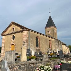
Église Notre-Dame-de-l'Assomption de Ratenelle
1.6 km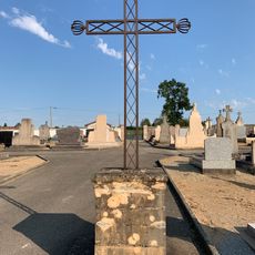
Cemetery cross of Sermoyer
3.2 km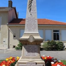
War memorial of Sermoyer
3.5 km
Domaine de Saint-Romain
19 m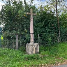
Croix de la route de Cuisery
1.8 km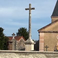
Croix de cimetière de Ratenelle
1.6 km
Scenic viewpoint
3 km
Scenic viewpoint
2.3 km
Château de Montsymond
3.5 km
Work of art
2.8 km
Castle
134 m
Wayside cross
3.5 kmReviews
Visited this place? Tap the stars to rate it and share your experience / photos with the community! Try now! You can cancel it anytime.
Discover hidden gems everywhere you go!
From secret cafés to breathtaking viewpoints, skip the crowded tourist spots and find places that match your style. Our app makes it easy with voice search, smart filtering, route optimization, and insider tips from travelers worldwide. Download now for the complete mobile experience.

A unique approach to discovering new places❞
— Le Figaro
All the places worth exploring❞
— France Info
A tailor-made excursion in just a few clicks❞
— 20 Minutes