
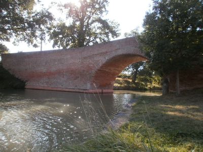
Negra Aqueduct, bridge in km ExNE of Auterive, km SE of Castanet-Tolosan
Location: Montesquieu-Lauragais
Address: La Dînée
GPS coordinates: 43.41811,1.64127
Latest update: June 23, 2025 11:46
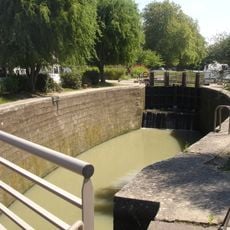
Négra Lock
57 m
Église de Villefranche-de-Lauragais
6.6 km
Écluse de Gardouch
5 km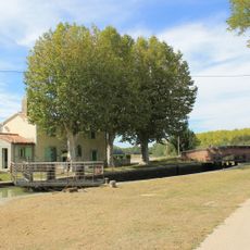
Écluse du Sanglier
3.3 km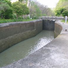
Écluse d'Ayguesvives
4.7 km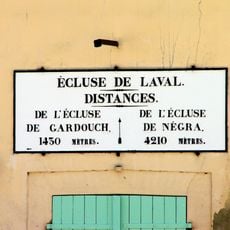
Écluse de Laval
3.8 km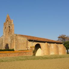
Chapelle Sainte-Colombe (Baziège)
4.9 km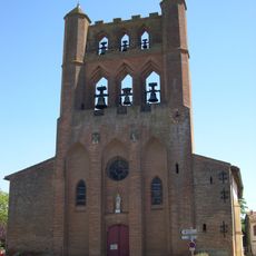
Église Saint-André
7 km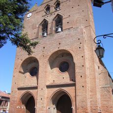
Église Saint-Étienne
4.7 km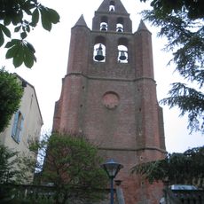
Église Saint-Martin de Nailloux
7 km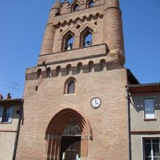
Église de Villenouvelle
2.6 km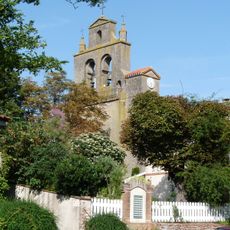
Église Saint-Étienne de Montgaillard-Lauragais
4.8 km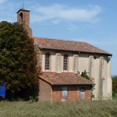
Église Saint-André de Belbèze-de-Lauragais
7.4 km
Église d'Ayguesvives
4.3 km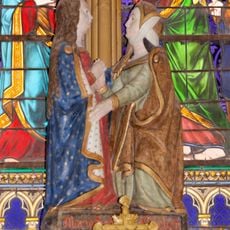
The Visitation
6.6 km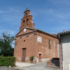
Église Saint-Étienne de Vieillevigne
2.2 km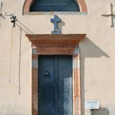
Chapelle de Négra de Montesquieu-Lauragais
33 m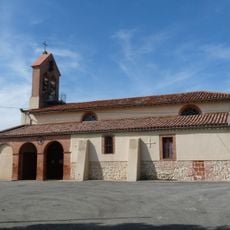
Église Saint-Christophe de Seyre
6.5 km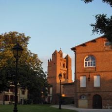
Église Saint-Jacques de Montesquieu-Lauragais
1 km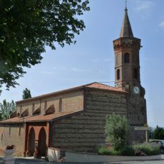
Église Saint-Martin de Mauremont
5.2 km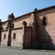
Église Saint-Romain de Saint-Rome
2.8 km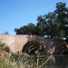
Pont d'En Serny
1.6 km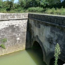
Aqueduc des Voûtes
6.5 km
Foyer Saint-Martin
7.2 km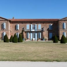
Château de Labastide-Beauvoir
7.1 km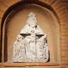
Trinity
6.6 km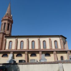
Église Notre-Dame-de-l'Assomption
7.4 km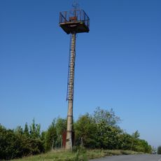
Phare aéronautique de Baziège
4.5 kmVisited this place? Tap the stars to rate it and share your experience / photos with the community! Try now! You can cancel it anytime.
Discover hidden gems everywhere you go!
From secret cafés to breathtaking viewpoints, skip the crowded tourist spots and find places that match your style. Our app makes it easy with voice search, smart filtering, route optimization, and insider tips from travelers worldwide. Download now for the complete mobile experience.

A unique approach to discovering new places❞
— Le Figaro
All the places worth exploring❞
— France Info
A tailor-made excursion in just a few clicks❞
— 20 Minutes