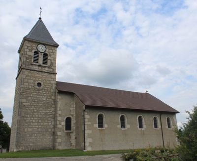
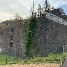
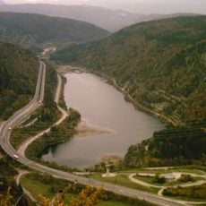
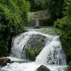
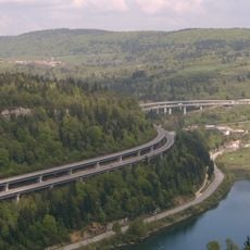
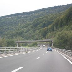
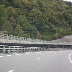
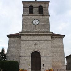
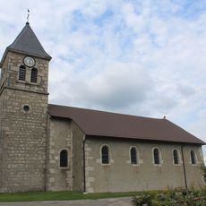
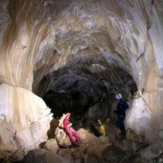
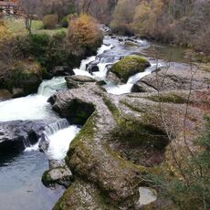
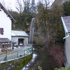
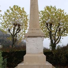
Le Poizat-Lalleyriat, commune in Ain, France
Location: Ain
Location: arrondissement of Nantua
Inception: January 1, 2016
Shares border with: Charix, Saint-Germain-de-Joux, Valserhône, Les Neyrolles, Haut Valromey
Website: https://lepoizat-lalleyriat.com
GPS coordinates: 46.14500,5.69610
Latest update: June 2, 2025 08:35
Glacières de Sylans
3.6 km
Lac de Sylans
3.1 km
Source de la Doye
4.3 km
Viaduc de Sylans
3.7 km
Dinoplagne
5.1 km
Chapel of Retord
5.8 km
Viaduc des Neyrolles
5 km
Cluse de Nantua
2.8 km
Viaduc de Charix
3.2 km
Viaduc du Tacon
5.1 km
Viaduc des Glacières
3.2 km
Église Saint-Félix du Poizat
56 m
Église Saint-Amant de Charix
4.3 km
Église Saint-Blaise de Lalleyriat
1.6 km
Église Saint-Clair des Neyrolles
4.8 km
Église Saint-Nicolas de Saint-Germain-de-Joux
4.9 km
Town hall of Lalleyriat
1.7 km
War memorial of people shot on 13 July 1944 in Le Petit-Abergement
6 km
Town hall of Saint-Germain-de-Joux
4.9 km
War memorial of Le Poizat
61 m
Grotte du Burlandier
2.5 km
Vallée de la Semine
5.7 km
Town hall of Le Poizat
32 m
Cascade du moulin de Charix
3 km
War memorial of Saint-Germain-de-Joux
4.9 km
War memorial of Les Neyrolles
4.6 km
Town hall of Les Neyrolles
4.9 km
Town hall of Charix
4.3 kmReviews
Visited this place? Tap the stars to rate it and share your experience / photos with the community! Try now! You can cancel it anytime.
Discover hidden gems everywhere you go!
From secret cafés to breathtaking viewpoints, skip the crowded tourist spots and find places that match your style. Our app makes it easy with voice search, smart filtering, route optimization, and insider tips from travelers worldwide. Download now for the complete mobile experience.
A unique approach to discovering new places❞
— Le Figaro
All the places worth exploring❞
— France Info
A tailor-made excursion in just a few clicks❞
— 20 Minutes