
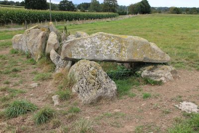
Allée couverte de la Tardivière
Allée couverte de la Tardivière, allée couverte à Ernée (Mayenne)
Location: Ernée
Address: La Source
GPS coordinates: 48.32882,-0.91426
Latest update: June 23, 2025 15:06
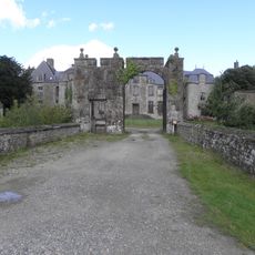
Château de Montflaux
3.2 km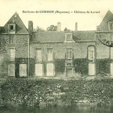
Château de Levaré
9.6 km
Église Notre-Dame de Montaudin
8.5 km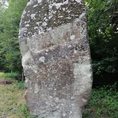
Menhir de la Roche
12 km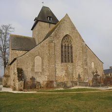
Chapelle Notre-Dame de Charné
3.6 km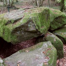
Dolmen de la Contrie
1.5 km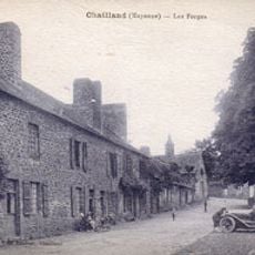
Grande Forge
10.9 km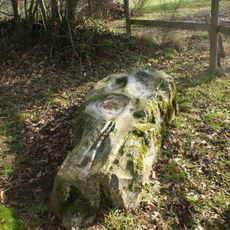
Pierre Saint-Guillaume
6.7 km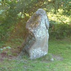
Menhir de la Boussardière
5.2 km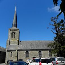
Église Saint-Aubin de Vautorte
6.8 km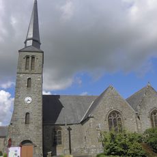
Église Saint-Crépin-et-Saint-Crépinien de Larchamp
7.3 km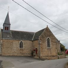
Église Saint-Quentin de La Pellerine
10.3 km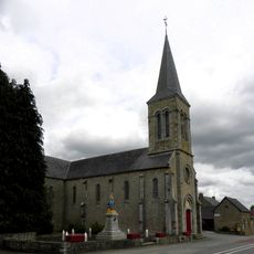
Église de l'Immaculée-Conception de Hercé
11 km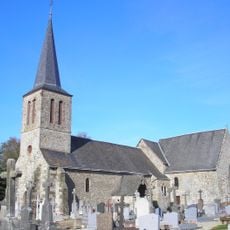
Église de Saint-Berthevin-la-Tannière
8.4 km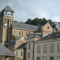
Église Notre-Dame-de-l'Assomption de Chailland
12 km
Église Saint-Éloi de Colombiers-du-Plessis
8.9 km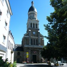
Église Notre-Dame-de-l'Assomption
4.1 km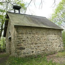
Chapelle Saint-Nathanaël ou Saint-Barthélemy de la Gigoulais
11.8 km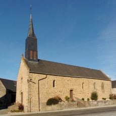
Chapelle des Haies
10.3 km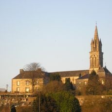
Église Saint-Martin de Gorron
11.9 km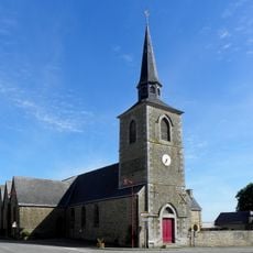
Église Saint-Pierre
10.4 km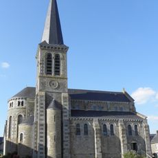
Église Saint-Jean-Baptiste de Carelles
5.9 km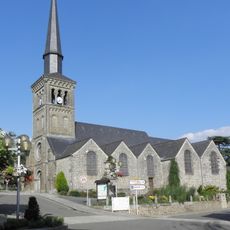
Église Saint-Denis de Saint-Denis-de-Gastines
4.5 km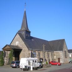
Église Saint-Victeur de Levaré
9.9 km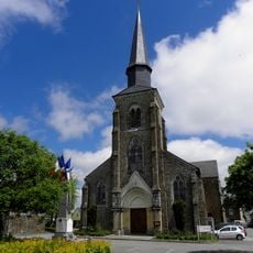
Église de Saint-Hilaire-du-Maine
11.4 km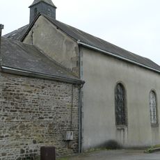
Chapelle de l'Hôtel-Dieu d'Ernée
3.9 km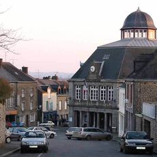
Town hall of Gorron
11.9 km
Chapelle de l'hôtel de la Miséricorde d'Ernée
4.1 kmReviews
Visited this place? Tap the stars to rate it and share your experience / photos with the community! Try now! You can cancel it anytime.
Discover hidden gems everywhere you go!
From secret cafés to breathtaking viewpoints, skip the crowded tourist spots and find places that match your style. Our app makes it easy with voice search, smart filtering, route optimization, and insider tips from travelers worldwide. Download now for the complete mobile experience.

A unique approach to discovering new places❞
— Le Figaro
All the places worth exploring❞
— France Info
A tailor-made excursion in just a few clicks❞
— 20 Minutes