
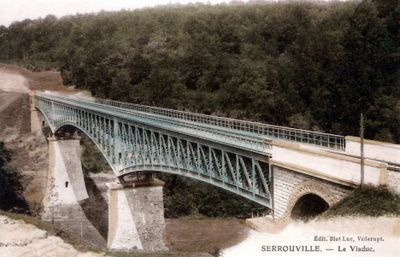
Viaduc de Serrouville, pont (ancien) de chemin de fer à Serrouville, en France
Location: Serrouville
Inception: 1904
Length: 235 m
GPS coordinates: 49.40154,5.88194
Latest update: June 23, 2025 11:12

Église Sainte-Barbe de Crusnes
4.8 km
Écomusée des mines de fer de Lorraine
5.4 km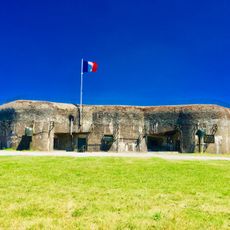
Ouvrage Bois-du-Four
6.8 km
Mine de fer Bassompierre
5.4 km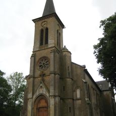
Église Saint-Brice de Sancy
6.8 km
Église Notre-Dame-de-la-Nativité de Boulange
5.9 km
Église Saint-Pierre de Tressange
7.1 km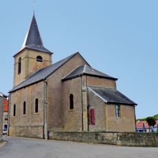
Église Saint-Martin de Serrouville
518 m
Église Saint-Maurice de Fillières
2.8 km
Église Saint-Martin de Joppécourt
6.3 km
Église Saint-Didier de Malavillers
5.2 km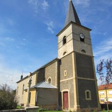
Église Saint-Denys de Bréhain-la-Ville
4.1 km
Église Saint-Remy de Tiercelet
6.8 km
Église Saint-Léger de Crusnes
4.4 km
Église de la Décollation-de-Saint-Jean-Baptiste de Boudrezy
6.2 km
Église Saint-Willibrod d'Errouville
2.2 km
Église Saint-Donat d'Audun-le-Roman
3.7 km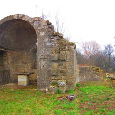
Prieuré de Sancy
6.4 km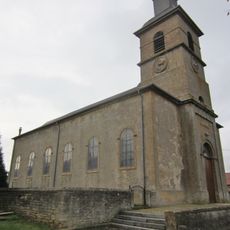
Église Saint-Salvin de Mercy-le-Haut
5.6 km
Nécropole nationale de Fillières
3.4 km
Chani Chapel of Fillières
2.8 km
Chapelle Notre-Dame-de-Luxembourg de Mercy-le-Haut
5.4 km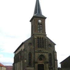
Église de l'Assomption-de-la-Très-Sainte-Vierge de Beuvillers
3.2 km
Temple d'Aumetz
4.7 km
Chapel of the cemetery of Aumetz
4.6 km
Chapelle Sainte-Croix de Cantebonne
7.2 km
Chapelle Notre-Dame-de-Consolation de Boudrezy
6.3 km
Chapelle Saint-Luc de Bassompierre
6.2 kmVisited this place? Tap the stars to rate it and share your experience / photos with the community! Try now! You can cancel it anytime.
Discover hidden gems everywhere you go!
From secret cafés to breathtaking viewpoints, skip the crowded tourist spots and find places that match your style. Our app makes it easy with voice search, smart filtering, route optimization, and insider tips from travelers worldwide. Download now for the complete mobile experience.

A unique approach to discovering new places❞
— Le Figaro
All the places worth exploring❞
— France Info
A tailor-made excursion in just a few clicks❞
— 20 Minutes