
Vallon de Halling, Protected landscape area in France
Location: Puttelange-lès-Thionville
Inception: 2004
GPS coordinates: 49.48468,6.24349
Latest update: March 24, 2025 17:27
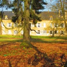
Château de Preisch
2.5 km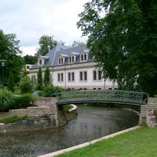
Centre thermal et de santé de Mondorf-les-Bains
3.4 km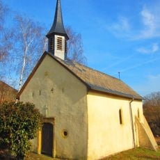
Halling
785 m
Le Club Les Thermes
3.4 km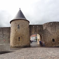
Remparts de Rodemack
1.8 km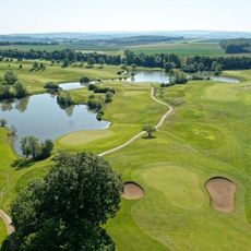
Golf Château de Preisch
2.5 km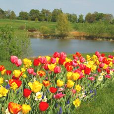
Golf Château de Preisch
2.9 km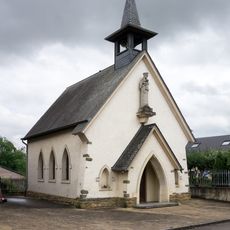
Chapelle Notre-Dame Consolatrice des Affligés
3.4 km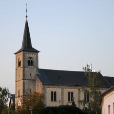
Église Saint-Benoît
3.1 km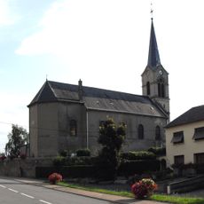
Église Saint-Barthélemy de Beyren-lès-Sierck
3.6 km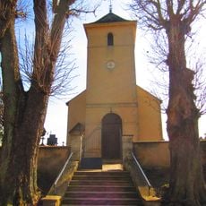
Église Saints-Pierre-et-Paul de Basse-Rentgen
3.1 km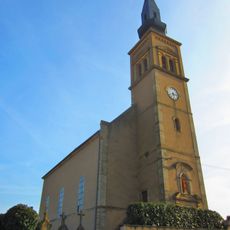
Église Saint-Remi de Puttelange-lès-Thionville
1.7 km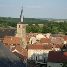
Église Saint-Nicolas
1.8 km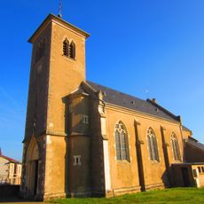
Église Sainte-Catherine de Breistroff-la-Grande
3.7 km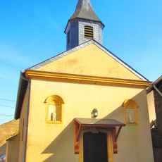
Chapelle Saint-Fiacre de Dodenom
4.2 km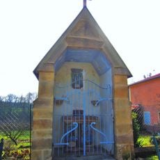
Chapelle de Schloesserei
358 m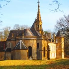
Chapelle Sainte-Madeleine de Preisch
2.6 km
Chapelle Saint-Willibrord de Halling
832 m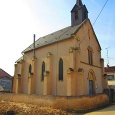
Chapelle Saint-Quirin de Himeling
957 m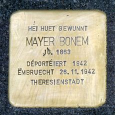
Stolperstein dedicated to Mayer Bonem
2.7 km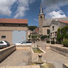
Fountain
1.8 km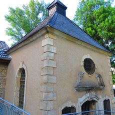
Chapelle d'Altwiese de Mondorff
2.9 km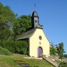
Chapelle Notre-Dame de Rodemack
2 km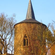
Chapelle Pelt de Rodemack
1.9 km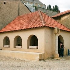
Lavoir de Rodemack
1.9 km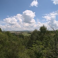
Le Grund
75 m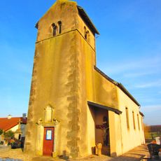
Chapelle Saint-Pierre de Semming
3.8 km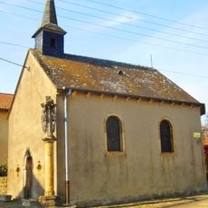
Chapelle Saint-Hippolyte de Haute-Rentgen
4.1 kmReviews
Visited this place? Tap the stars to rate it and share your experience / photos with the community! Try now! You can cancel it anytime.
Discover hidden gems everywhere you go!
From secret cafés to breathtaking viewpoints, skip the crowded tourist spots and find places that match your style. Our app makes it easy with voice search, smart filtering, route optimization, and insider tips from travelers worldwide. Download now for the complete mobile experience.

A unique approach to discovering new places❞
— Le Figaro
All the places worth exploring❞
— France Info
A tailor-made excursion in just a few clicks❞
— 20 Minutes