
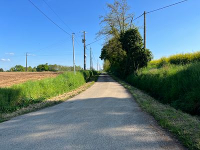
Route du Carrage, route de Chanoz-Châtenay, en France
Location: Chanoz-Châtenay
Part of: Chanoz-Châtenay yol ağı
Shares border with: Route de Chanvant, Impasse des Pins, route des Rollands
GPS coordinates: 46.19611,5.01866
Latest update: September 23, 2025 12:57
Château de Longes
3.5 km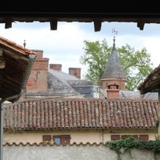
Château de Béost
1.8 km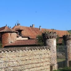
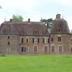
Château de Châtenay
1.1 km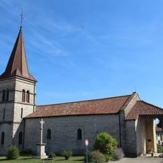
Church Saint John the Baptist of Chaveyriat
3.4 km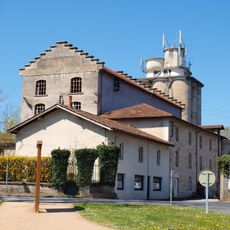
Museum of Carriages, Bodywork and Cartons
3.5 km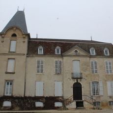
Château de Chevigney
3.9 km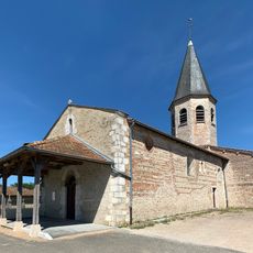
Église Saint-Martin de Chanoz-Châtenay
1.6 km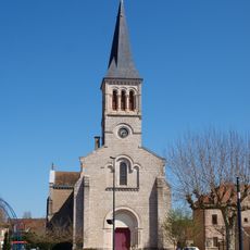
Église Saint-Martin de Vonnas
3.2 km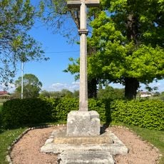
Croix Charpenaz
2.8 km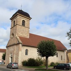
Espace Saint-Martin de Vonnas
3.3 km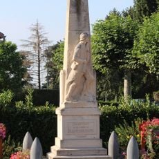
War memorial of Chaveyriat
3.2 km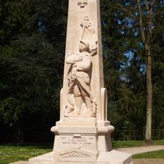
War memorial of Vonnas
3.4 km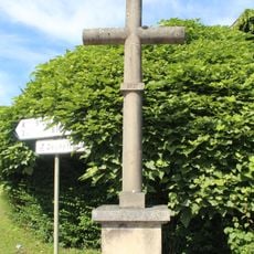
Croix de Champagne
3.7 km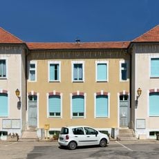
Town hall of Chaveyriat
3.3 km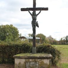
Croix des Jacques
2.9 km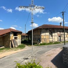
Croix des Curtallins
3.8 km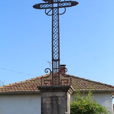
Croix des Viards
1.5 km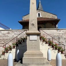
War memorial of Chanoz-Châtenay
1.6 km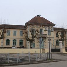
Town hall of Neuville-les-Dames
3.9 km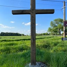
Croix des Gletagnes
918 m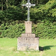
Croix de Béost
1.8 km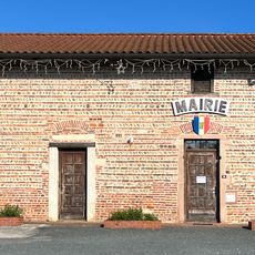
Town hall of Chanoz-Châtenay
1.6 km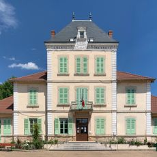
Town hall of Vonnas
3.3 km
Croix des Grands-Varays
3 km
Croix de l'église Saint-Jean-Baptiste
3.4 km
Croix du Château de Châtenay
1.2 km
Croix du Château de Longes
4 km
Choir stalls of Église Saint-Jean-Baptiste de Chaveyriat
3.4 kmReviews
Visited this place? Tap the stars to rate it and share your experience / photos with the community! Try now! You can cancel it anytime.
Discover hidden gems everywhere you go!
From secret cafés to breathtaking viewpoints, skip the crowded tourist spots and find places that match your style. Our app makes it easy with voice search, smart filtering, route optimization, and insider tips from travelers worldwide. Download now for the complete mobile experience.

A unique approach to discovering new places❞
— Le Figaro
All the places worth exploring❞
— France Info
A tailor-made excursion in just a few clicks❞
— 20 Minutes