
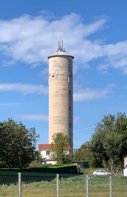
Water tower of Tramoyes, château d'eau de France
Location: Tramoyes
Height: 47 m
Operator: SIEP Dombes-Saône
GPS coordinates: 45.87661,4.96292
Latest update: March 11, 2025 08:56

Chartreuse de Poleteins
4.2 km
Sillon rhodanien
3.2 km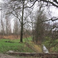
Marais des Échets
2.4 km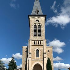
Église Notre-Dame de Tramoyes
480 m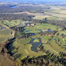
Garden Golf de Mionnay
2 km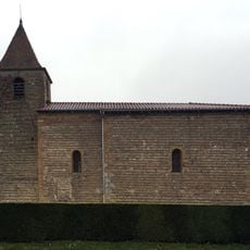
Église Saint-Martin de Romanèche
3.9 km
Église Saint-Jean-Baptiste de Mionnay
3.1 km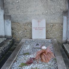
Grave of Joseph Reveyron
4.2 km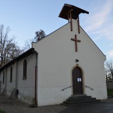
Chapelle des Échets
4.2 km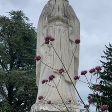
Statue de la Vierge
472 m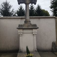
Grave of Togni and Simonet families
672 m
Château de Polletins
4.2 km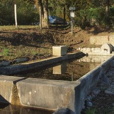
Fontaine-abreuvoir de Tramoyes
954 m
Town hall of Mionnay
3.3 km
Croix du Chemin Beau-Logis
3.1 km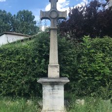
Croix du jubilé 1865
313 m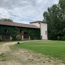
Domaine de Claire-Combe
321 m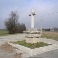
Croix du Chemin Gaillebeau
2.9 km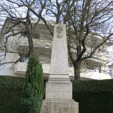
War memorial of Mionnay
3.2 km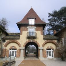
Château de Beau-Logis
2.2 km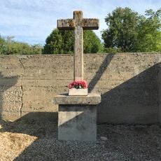
Cemetery cross of Les Échets
4.2 km
Croix de la rue des Rapettes
466 m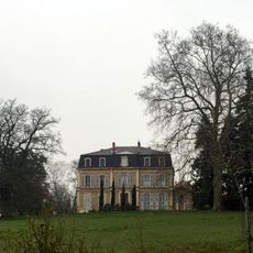
Château de Romanèche
4 km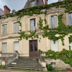
Château du Sepey
3 km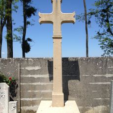
Cemetery cross of Tramoyes
691 m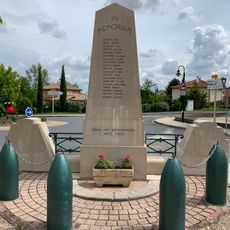
War memorial of Tramoyes
265 m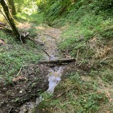
Torrent du Merloux
3.7 km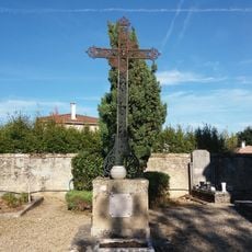
Croix du cimetière de Mionnay
3.1 kmReviews
Visited this place? Tap the stars to rate it and share your experience / photos with the community! Try now! You can cancel it anytime.
Discover hidden gems everywhere you go!
From secret cafés to breathtaking viewpoints, skip the crowded tourist spots and find places that match your style. Our app makes it easy with voice search, smart filtering, route optimization, and insider tips from travelers worldwide. Download now for the complete mobile experience.

A unique approach to discovering new places❞
— Le Figaro
All the places worth exploring❞
— France Info
A tailor-made excursion in just a few clicks❞
— 20 Minutes