
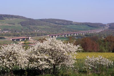
Ouvrage de décharge de la Moselle
Location: Vandières
Length: 182.6 m
Longest Span: 52 m
GPS coordinates: 48.95861,6.04284
Latest update: March 11, 2025 05:34
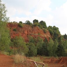
Red Lands
5.6 km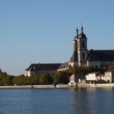
Abbaye des Prémontrés de Pont-à-Mousson
5.7 km
Lorraine Regional Natural Park
5.7 km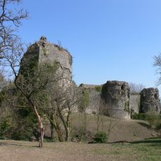
Château de Prény
4.2 km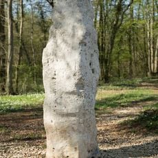
Menhir la Pierre au Jô
4.1 km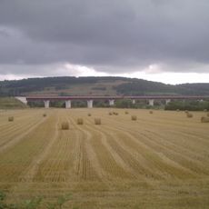
Moselle Viaduct
774 m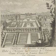
Château d'Arry
4.3 km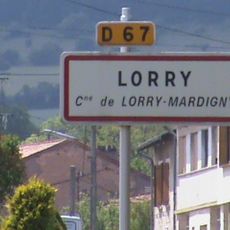
Lorry
4.6 km
Arnulf of Metz Church
4.3 km
Le Boulingue
5.3 km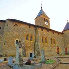
Église de l'Exaltation-de-la-Sainte-Croix de Lorry
4.4 km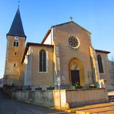
Église Saint-Géréon de Vandières
1.2 km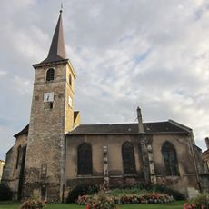
Église Saint-Martin de Pagny-sur-Moselle
3.1 km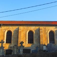
Église Saint-Blaise de Villers-sous-Prény
3.5 km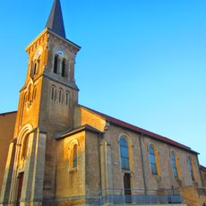
Église de la Nativité-de-la-Vierge de Bouxières-sous-Froidmont
3.5 km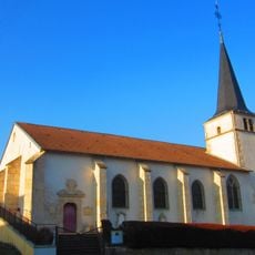
Église Saint-Rémy de Norroy-lès-Pont-à-Mousson
2.9 km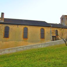
Église Saint-Laurent de Mardigny de Lorry-Mardigny
3.6 km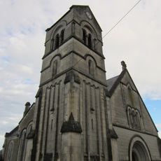
Église Saint-Pierre de Prény
3.8 km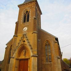
Église Saint-Pierre de Champey-sur-Moselle
1.2 km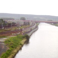
Canal de la Moselle Viaduct
590 m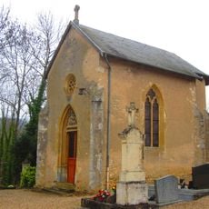
Chapelle Notre-Dame-de-Pitié de Prény
3.8 km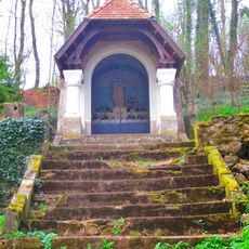
Chapelle Notre-Dame du Froidmont
2.6 km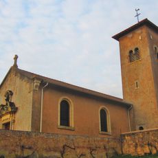
Église Notre-Dame-de-l'Assomption de Vittonville
1.3 km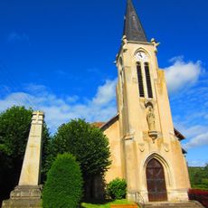
Église Saint-Denis de Lesménils
5.3 km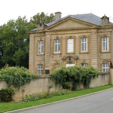
Château de Lorry
4.7 km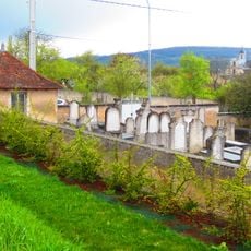
Jewish cemetery in Pont-à-Mousson
5.5 km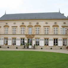
Château de Mardigny
3.8 km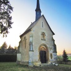
Chapelle Notre-Dame-de-la-Salette de Lorry-Mardigny
4.1 kmReviews
Visited this place? Tap the stars to rate it and share your experience / photos with the community! Try now! You can cancel it anytime.
Discover hidden gems everywhere you go!
From secret cafés to breathtaking viewpoints, skip the crowded tourist spots and find places that match your style. Our app makes it easy with voice search, smart filtering, route optimization, and insider tips from travelers worldwide. Download now for the complete mobile experience.

A unique approach to discovering new places❞
— Le Figaro
All the places worth exploring❞
— France Info
A tailor-made excursion in just a few clicks❞
— 20 Minutes