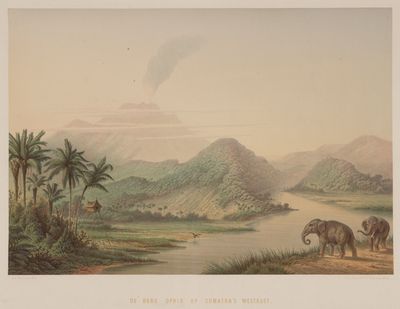
Mount Ophir, Volcanic mountain in West Sumatra, Indonesia.
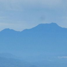
Mount Ophir is a volcano in West Sumatra that rises within the Barisan range near the equator, marked by layers of hardened lava and exposed rock formations. The slopes show different types of volcanic material visible from the surrounding valleys and trails used by researchers.
A map from 1228 marked the peak among the regional landmarks of Sumatra. The German naturalist Franz Wilhelm Junghuhn documented the mountain in 1847 under the name Ophir od Palsaman during his surveys of island geology.
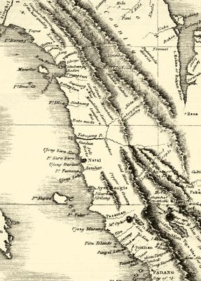
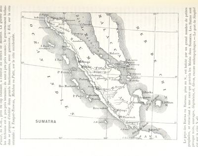
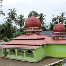
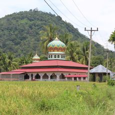
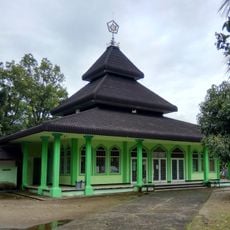
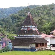
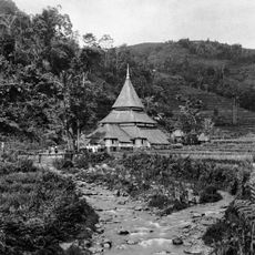
Villages nearby call the peak Gunong Passama and see it as part of the natural landmarks guiding travelers through West Sumatra. Farmers and fishermen in the area still use the summit as a reference point when crossing valleys or reading weather changes.
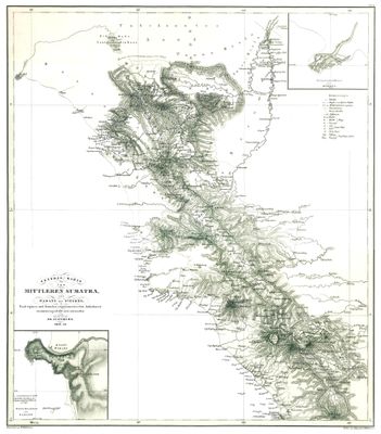
The peak sits at coordinates 0°4′45″N 99°59′0″E and can be reached year-round for geological work or environmental research. Trails through the forest lead toward the base, though paths can become slippery during wet periods.
The volcano sits almost exactly on the equator, which means daylight remains nearly constant throughout the year without seasonal shifts in the sun's path. This position makes it a reference point for studies of equatorial ecosystems and volcanic behavior under tropical conditions.
The community of curious travelers
AroundUs brings together thousands of curated places, local tips, and hidden gems, enriched daily by 60,000 contributors worldwide.