
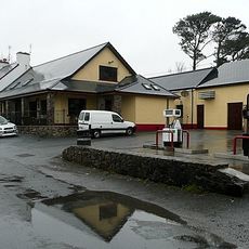
Carraroe, human settlement in Ireland, Connemara, county Galway
Location: County Galway
Elevation above the sea: 1 m
GPS coordinates: 53.26560,-9.58360
Latest update: March 4, 2025 20:20
Lettermore
5.4 km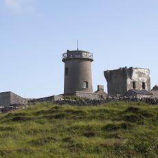
Inishmore Lighthouse
17.3 km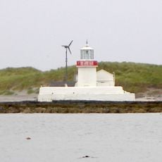
Straw Island Lighthouse
16.7 km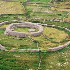
Dún Eochla Ringfort
17.2 km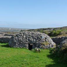
Clochán na Carraige
18.1 km
Keeraunnagark South
3.6 km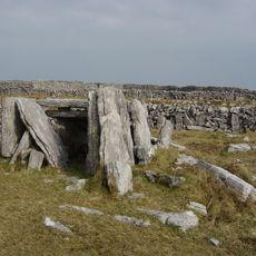
Killeany Wedge Tomb Oghill
17.8 km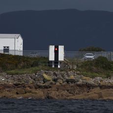
Cashla Bay Lighthouse
1.2 km
Áras Shorcha Ní Ghuairim
16.4 km
Temple an Cheathrair Aluinn Church, Oghil
17.5 km
Trawbaun Church
5.6 km
St. Kieran's Early Medieval Ecclesiastical Site
16.3 km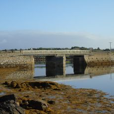
Bealadangan Bridge
5.8 km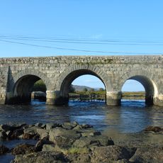
Screeb Bridge
13.2 km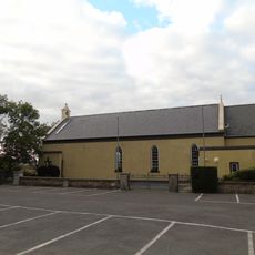
St Mary's Church
12.4 km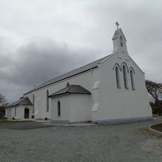
St Mary's Church
18.1 km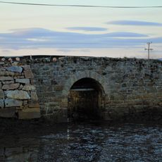
Crusheen Bridge
3.1 km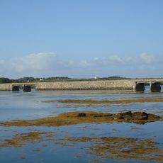
Carrickalegaun Bridge
5.4 km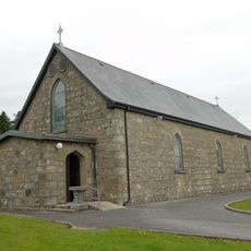
Cill Chiaráin
12.2 km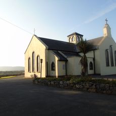
Séipéal an Ioncolnaithe
8.8 km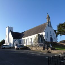
Seipéal Mhic Dara
809 m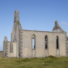
Eaglais San Thomáis
17 km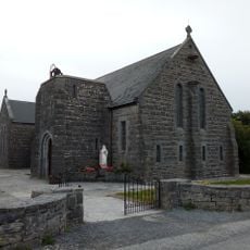
Seipéal Nn Bríd agus Oilibhéir Pluincéid
17.1 km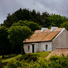
Pearse's Cottage
13.6 km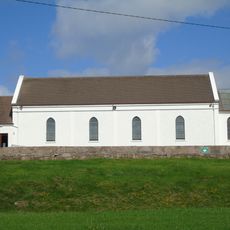
Séipéal Réalt na Mara
10.2 km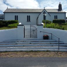
Pobal Árann
17 km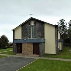
St Colmcille's Church
7 km
Tra Chaladh Finis, Carna
13.8 kmVisited this place? Tap the stars to rate it and share your experience / photos with the community! Try now! You can cancel it anytime.
Discover hidden gems everywhere you go!
From secret cafés to breathtaking viewpoints, skip the crowded tourist spots and find places that match your style. Our app makes it easy with voice search, smart filtering, route optimization, and insider tips from travelers worldwide. Download now for the complete mobile experience.

A unique approach to discovering new places❞
— Le Figaro
All the places worth exploring❞
— France Info
A tailor-made excursion in just a few clicks❞
— 20 Minutes