
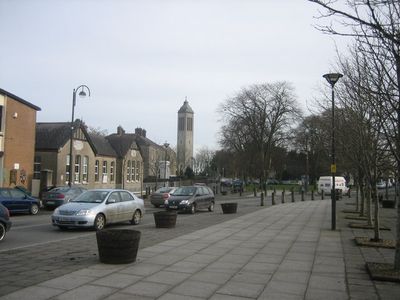
Dunboyne, town in County Meath, Leinster, Ireland
Location: Meath
Elevation above the sea: 70 m
GPS coordinates: 53.41987,-6.47507
Latest update: March 6, 2025 16:28
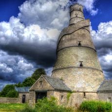
The Wonderful Barn
7.1 km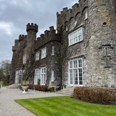
Luttrellstown Castle
5.9 km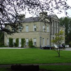
Lucan Manor
7.1 km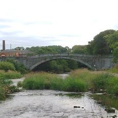
Lucan Bridge
6.9 km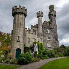
Luttrellstown Castle
5.9 km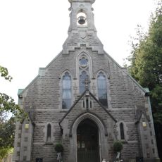
St Mochta's Church, Porterstown
7.1 km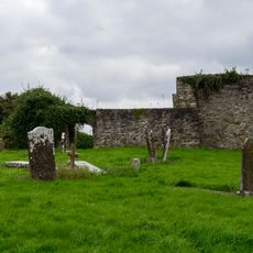
Buzzardstown Church
5.8 km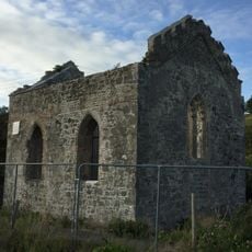
St Catherine's Park Church
6.1 km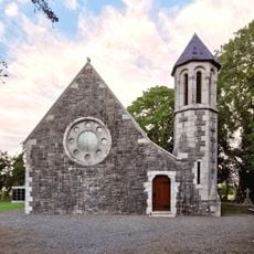
St Thomas's Church (Hollystown)
6.6 km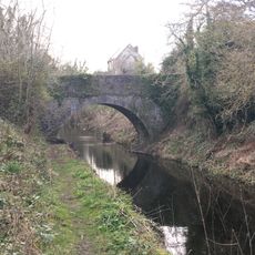
Kennan Bridge (Porterstown)
6.4 km
Leixlip Bridge
6.4 km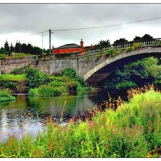
Coldblow Bridge
6.9 km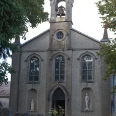
Church of Our Lady's Nativity
6.2 km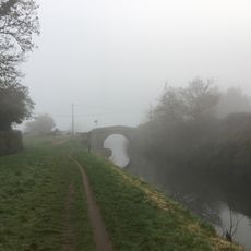
Packenham Bridge
4.6 km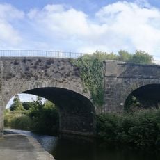
Pike Bridge
7.1 km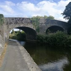
Deey Bridge and Lock
6.3 km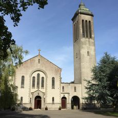
St Peter and Paul's Church
131 m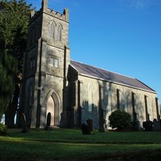
St Mary's Church (Clonsilla)
5.3 km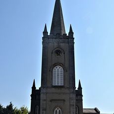
St Andrew's Church of Ireland, Lucan
7.1 km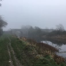
Collins Bridge (Coldblow)
5.5 km
St Mary's Church
6.4 km
Callaghan Bridge
5.4 km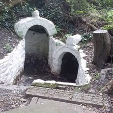
St Catherine's Holy Well (Dublin)
5.9 km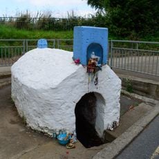
Our Ladys Well
5.7 km
Leixlip Castle
6.5 km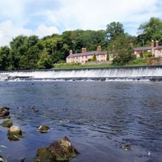
Anna Liffey Weir
6.4 km
Corduff Mound
6.5 km
Corduff Fort
6.7 kmReviews
Visited this place? Tap the stars to rate it and share your experience / photos with the community! Try now! You can cancel it anytime.
Discover hidden gems everywhere you go!
From secret cafés to breathtaking viewpoints, skip the crowded tourist spots and find places that match your style. Our app makes it easy with voice search, smart filtering, route optimization, and insider tips from travelers worldwide. Download now for the complete mobile experience.

A unique approach to discovering new places❞
— Le Figaro
All the places worth exploring❞
— France Info
A tailor-made excursion in just a few clicks❞
— 20 Minutes