
Myshall, human settlement
Location: Carlow
Elevation above the sea: 294 m
GPS coordinates: 52.68620,-6.78020
Latest update: March 9, 2025 22:01
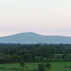
Slievenamon
5.6 km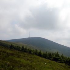
Mount Leinster
7.6 km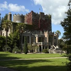
Huntington Castle
8.9 km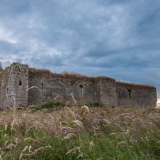
Ballymoon Castle
8.7 km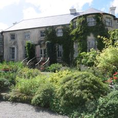
Altamont House
6.8 km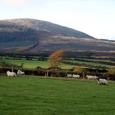
Black Rock Mountain
8.4 km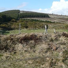
Croaghaun, County Carlow
2.6 km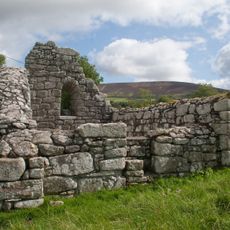
Killoughternane Church
7.6 km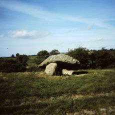
Portal tomb von Ballynoe
9.5 km
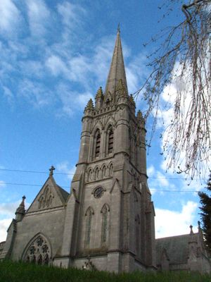
St Finian's Church
103 m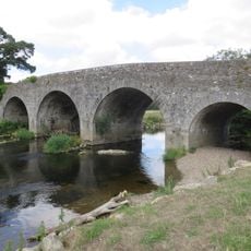
Kilcarry Bridge
7.1 km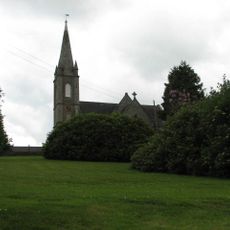
St Mary's Church
9.1 km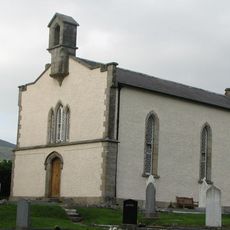
St Peter's Church
9.5 km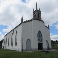
St Brigid's Church
8.8 km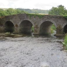
Clonegal Bridge
9.2 km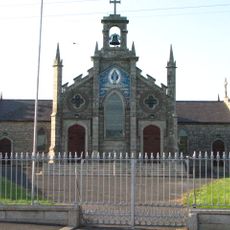
St Patrick's Church
7.7 km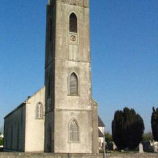
All Saints Church
5.5 km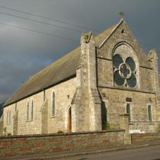
Saint Fortchern's Church
10.1 km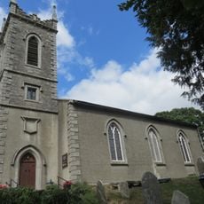
St Fiaac's Church
9.1 km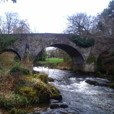
Aghade Bridge
8.8 km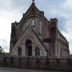
Church of the Immaculate Conception
9.2 km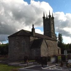
St Paul's Church
6.4 km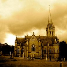
Church of Christ the Redeemer
178 m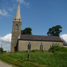
All Saints Church
8.7 km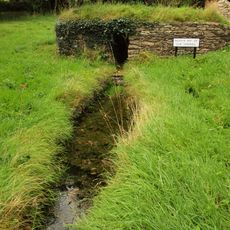
Cranavane Well
3.8 km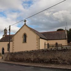
Sts Peter and Paul's Church
5.9 km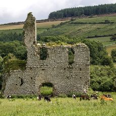
Rathnageeragh Castle
4.5 km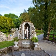
Tobar Bhride Well
136 mVisited this place? Tap the stars to rate it and share your experience / photos with the community! Try now! You can cancel it anytime.
Discover hidden gems everywhere you go!
From secret cafés to breathtaking viewpoints, skip the crowded tourist spots and find places that match your style. Our app makes it easy with voice search, smart filtering, route optimization, and insider tips from travelers worldwide. Download now for the complete mobile experience.

A unique approach to discovering new places❞
— Le Figaro
All the places worth exploring❞
— France Info
A tailor-made excursion in just a few clicks❞
— 20 Minutes