
Rusheens East, Ogham Site, Co. Mayo
Location: Connacht
Location: Barony of Costello
Location: Kilmovee
Location: Kilmovee
Part of: Ogi-Ogham Project, Irish ᚑᚌᚆᚐᚋ Stones in the Wikimedia Universe
GPS coordinates: 53.89611,-8.66528
Latest update: March 6, 2025 03:38
Knock Shrine
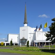
20.2 km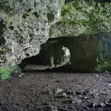
Caves of Kesh
22.9 km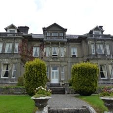
Clonalis House
18 km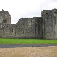
Ballymote Castle
23.3 km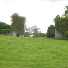
Temple House
25.3 km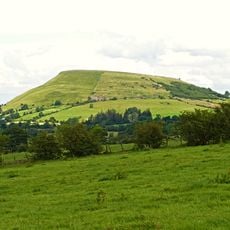
Knocknashee
24.9 km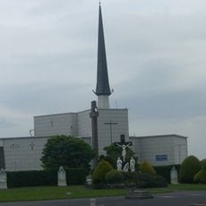
Knock basilica
20.2 km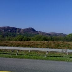
Curlew Mountains
21.3 km
Castlerea Railway Museum
18 km
St. Crumnathy's Cathedral, Achonry
20.8 km
Knocknashee Hillfort
24.7 km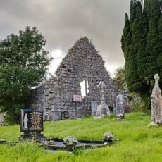
Cloonameehan Friary
18.9 km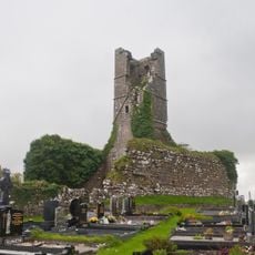
Court Friary
24 km
Drumanone
22 km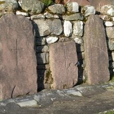
Grabplatten von Carrowntemple
10 km
Banada Priory
18.6 km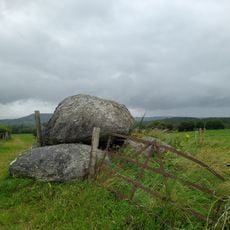
Achonry
19.8 km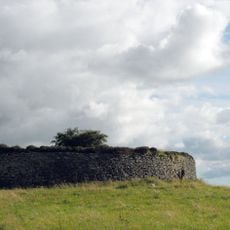
Cashel von Kilmovee
1.7 km
Ballymote Friary
23.6 km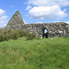
Kiltullagh Hill
19.2 km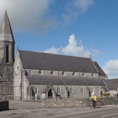
Church of the Immaculate Conception, Ballymote
23.5 km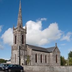
Emlaghfad Parish Church, Ballymote
23.6 km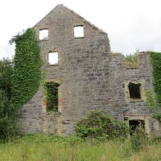
Ballymote corn mill
23.2 km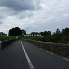
Cloongullaun Bridge
22.6 km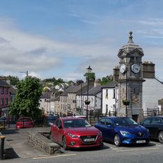
Boyle Town Clock
25.2 km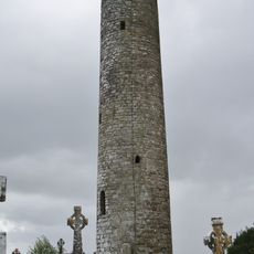
Meelick Round Tower
23.4 km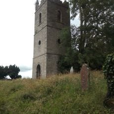
Emlaghfad Church ruins
22.6 km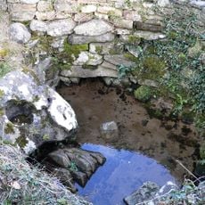
St Attractas Well
11.3 kmReviews
Visited this place? Tap the stars to rate it and share your experience / photos with the community! Try now! You can cancel it anytime.
Discover hidden gems everywhere you go!
From secret cafés to breathtaking viewpoints, skip the crowded tourist spots and find places that match your style. Our app makes it easy with voice search, smart filtering, route optimization, and insider tips from travelers worldwide. Download now for the complete mobile experience.

A unique approach to discovering new places❞
— Le Figaro
All the places worth exploring❞
— France Info
A tailor-made excursion in just a few clicks❞
— 20 Minutes