
Jam Rural District, rural district of Iran
Location: Central District
Capital city: Jam
GPS coordinates: 27.85000,52.35000
Latest update: April 1, 2025 17:14
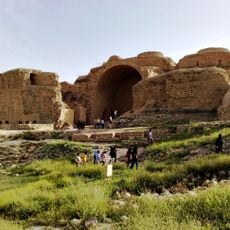
Palace of Ardashir
118.1 km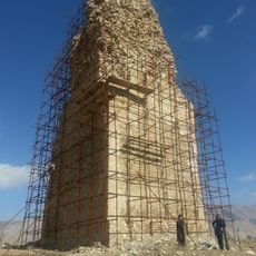
Minar of Firuzabad
112.9 km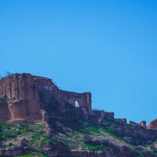
Qal'eh Dokhtar
120.5 km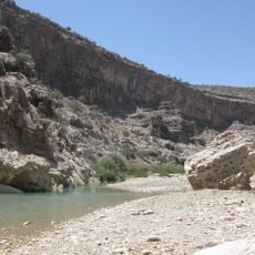
Mehr-Narseh Bridge
120.1 km
Takhti Stadium
3.5 km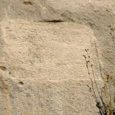
Mehr-Narseh inscription
120.1 km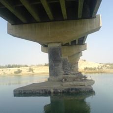
Mond Protected Area
94.9 km
Nassouri's Castle
20.5 km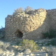
Zendan Castle
86.1 km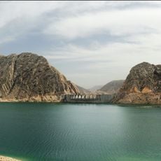
Salman Farsi Dam
107.3 km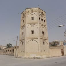
Khormoj Castle
131.1 km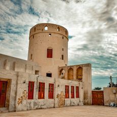
Bardestan Castle
38.4 km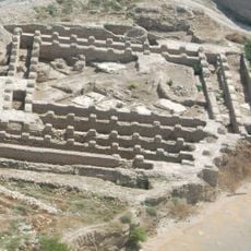
Jameh Mosque of Siraf
20.4 km
Tel Atashkadeh
120.1 km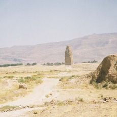
Ardashir Khurreh
113 km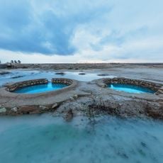
Bardestan Wells
39 km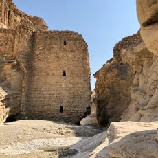
Gampu Dam
122.9 km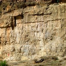
Relief of Ardashir I's equestrian victory over Artabanus IV
119.5 km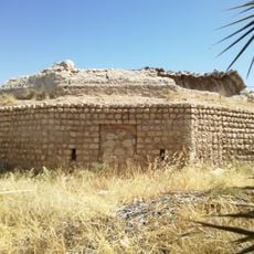
Haj Agha Reza Ab Anbar (Haghshenas Square, Jahrom)
137.6 km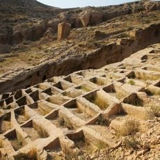
Siraf Rock-cut Cemetery
19.7 km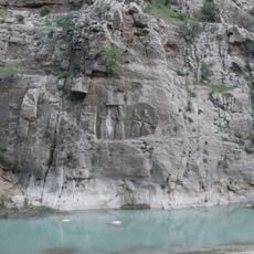
Ardashir I's relief at Firuzabad
119.9 km
Nayband National Marine Park
58.2 km
Jameh Mosque of Bardestan
38.9 km
Naqareh Khaneh Chahartaq
104.6 km
Simakan Chahartaq
111.8 km
تل جت
67.1 km
Second Mand Bridge
93.5 km
تل علامرودشت
68 kmReviews
Visited this place? Tap the stars to rate it and share your experience / photos with the community! Try now! You can cancel it anytime.
Discover hidden gems everywhere you go!
From secret cafés to breathtaking viewpoints, skip the crowded tourist spots and find places that match your style. Our app makes it easy with voice search, smart filtering, route optimization, and insider tips from travelers worldwide. Download now for the complete mobile experience.

A unique approach to discovering new places❞
— Le Figaro
All the places worth exploring❞
— France Info
A tailor-made excursion in just a few clicks❞
— 20 Minutes