
Mohr Rural District, rural district in Fars, Iran
Location: Central District of Mohr County
GPS coordinates: 27.56667,52.91667
Latest update: March 19, 2025 03:03

Takhti Stadium
63.8 km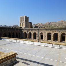
Nassouri's Castle
57.6 km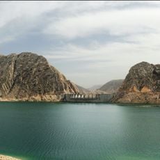
Salman Farsi Dam
109.5 km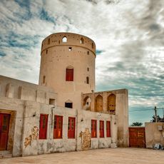
Bardestan Castle
100.2 km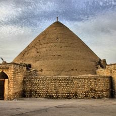
Haj Asadollah Ab Anbar
120.5 km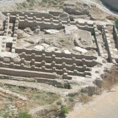
Jameh Mosque of Siraf
58.4 km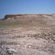
Tel Atashkadeh
88.1 km
Bardestan Wells
100.6 km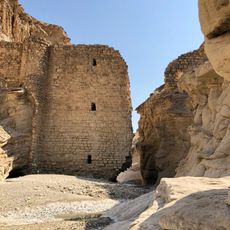
Gampu Dam
61.7 km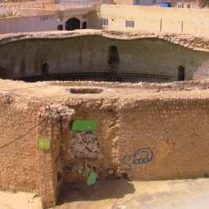
Kal Ab Anbar
120.4 km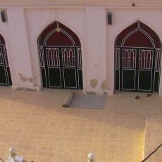
Akhund Mosque (Gerash)
120.8 km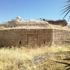
Haj Agha Reza Ab Anbar (Haghshenas Square, Jahrom)
120.8 km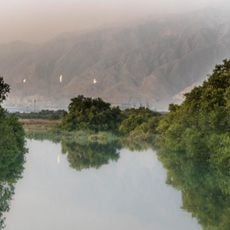
Nayband National Marine Park
36.2 km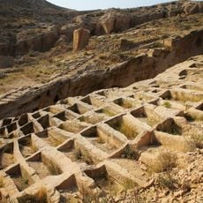
Siraf Rock-cut Cemetery
58.8 km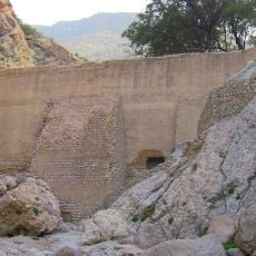
Tangab Dam (Gerash County)
115.3 km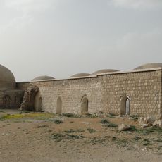
Jahrom Qadamgah
120.5 km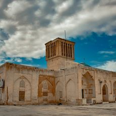
Jameh Mosque of Bardestan
100.5 km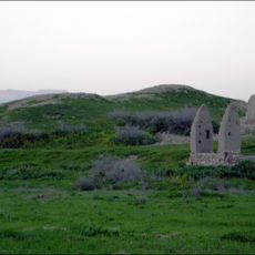
تل جت
11.1 km
تل علامرودشت
10.5 km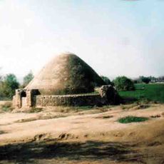
آبانبار قطبآباد
92 km
Azam Hussainiya (Gerash)
120.6 km
Alipur House (Gerash)
120.9 km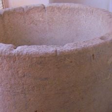
Sang Awi Hussainiya
120.8 km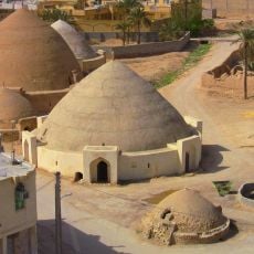
Seven Ab Anbars (Gerash)
120.7 km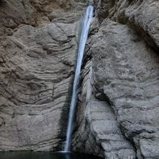
Bid Shahr Waterfall
96.5 km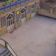
Jameh Mosque of Gerash
120.8 km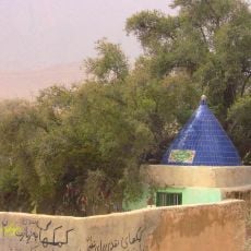
Konar-e Ziarat Mausoleum
109 km
نخلستان خفرویه
7.8 kmReviews
Visited this place? Tap the stars to rate it and share your experience / photos with the community! Try now! You can cancel it anytime.
Discover hidden gems everywhere you go!
From secret cafés to breathtaking viewpoints, skip the crowded tourist spots and find places that match your style. Our app makes it easy with voice search, smart filtering, route optimization, and insider tips from travelers worldwide. Download now for the complete mobile experience.

A unique approach to discovering new places❞
— Le Figaro
All the places worth exploring❞
— France Info
A tailor-made excursion in just a few clicks❞
— 20 Minutes