
Arignano, Italian comune
Location: Metropolitan City of Turin
Capital city: Arignano
Elevation above the sea: 321 m
Shares border with: Chieri, Mombello di Torino, Riva presso Chieri, Andezeno, Marentino, Moncucco Torinese
Website: http://comune.arignano.to.it
GPS coordinates: 45.04028,7.90159
Latest update: March 11, 2025 00:32

Vezzolano Abbey
6.2 km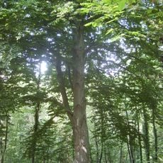
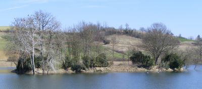
Riserva naturale del Bosco del Vaj
3 km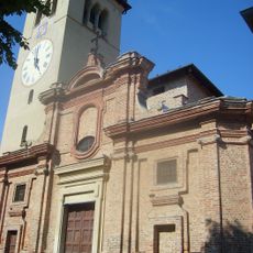
San Giorgio
6.7 km
Castello Costa
547 m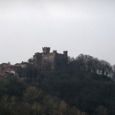
Cinzano Castle
6.4 km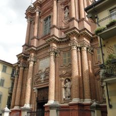
Church of the Immacolata Concezione, Chieri
6.8 km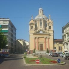
Santi Bernardino e Rocco
6.7 km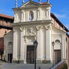
Sant'Antonio Abate
6.3 km
Assunzione di Maria Vergine Church
2.9 km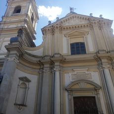
Santa Margherita, Chieri
6.7 km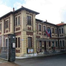
Town hall of Cinzano
6.2 km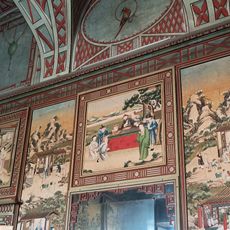
Palazzo Grosso
6.5 km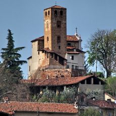
Madonna del Castello tower and chapel
4.9 km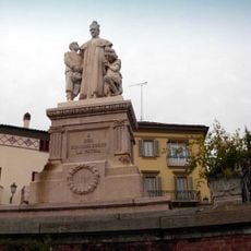
San Giovanni Bosco monument
4.8 km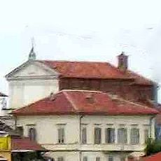
San Giovanni Battista
6.1 km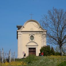
Chiesa di San Michele Arcangelo
4.9 km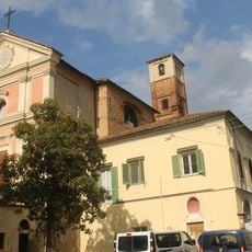
Confraternita di San Bartolomeo
4.9 km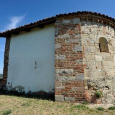
Santa Maria di Cornareto church
4.8 km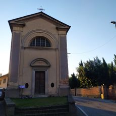
Cappella dei Santi Rocco e Sebastiano
3.2 km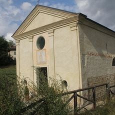
Sant'Eusebio's church
4.6 km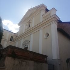
Chiesa della Madonna della Pace
6.6 km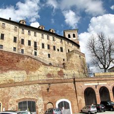
Castello di Moncucco
4 km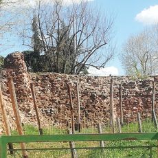
Rocchetta
6.7 km
Town hall of Pavarolo
6.1 km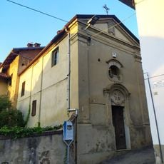
Cappella della Madonna Consolata
4.7 km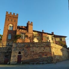
Castello
3.5 km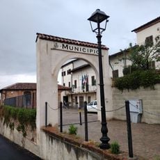
Town hall of Arignano
420 m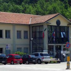
Town hall of Andezeno
2.5 kmVisited this place? Tap the stars to rate it and share your experience / photos with the community! Try now! You can cancel it anytime.
Discover hidden gems everywhere you go!
From secret cafés to breathtaking viewpoints, skip the crowded tourist spots and find places that match your style. Our app makes it easy with voice search, smart filtering, route optimization, and insider tips from travelers worldwide. Download now for the complete mobile experience.

A unique approach to discovering new places❞
— Le Figaro
All the places worth exploring❞
— France Info
A tailor-made excursion in just a few clicks❞
— 20 Minutes