
Trarego Viggiona, Italian comune
Location: Province of Verbano-Cusio-Ossola
Elevation above the sea: 771 m
Shares border with: Aurano, Cannobio, Valle Cannobina, Oggebbio, Cannero Riviera
Website: http://traregoviggiona.com
GPS coordinates: 46.03210,8.69086
Latest update: March 12, 2025 13:18

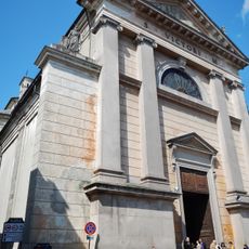
San Vittore
3.3 km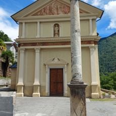
San Lorenzo Martire church
8.9 km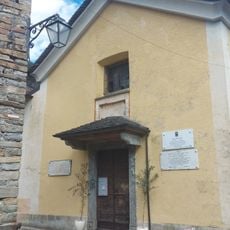
San Donnino church
5.4 km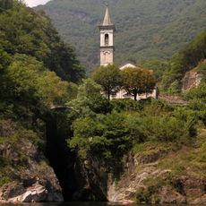
Sant'Anna church
3.7 km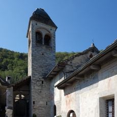
San Gottardo church
1.3 km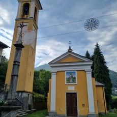
Santi Pietro e Paolo church
8.4 km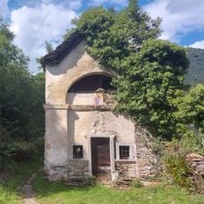
Sant'Antonio abate oratory
5.5 km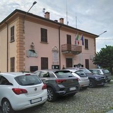
Town hall of Oggebbio
4.9 km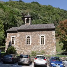
San Giovanni church
7.9 km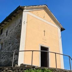
San Giuseppe church
8.7 km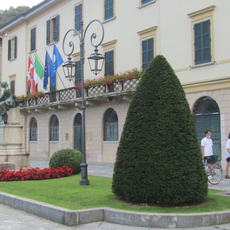
Town hall of Cannobio
3.4 km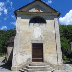
San Michele
8.5 km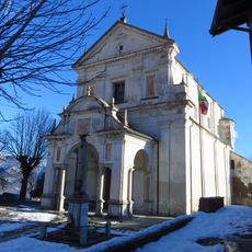
Chiesa di San Maurizio
245 m
Chiesa di San Pietro
4.8 km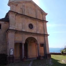
San Bernardo
1.9 km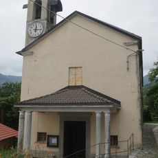
Church of Saint Roch (Cheglio)
1.5 km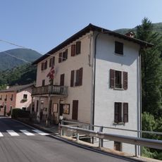
Town hall of Valle Cannobina
7.9 km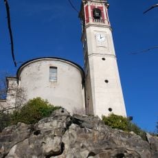
San Giorgio
1.5 km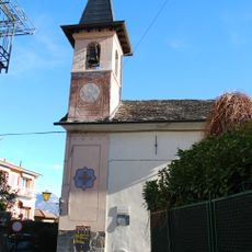
San Rocco
1.2 km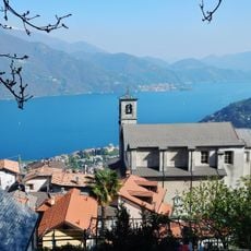
Sant'Agata church
4.2 km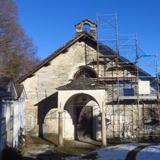
Chiesa Vecchia
492 m
Monte Bavarione
7.8 km
Monte Vadà
9.9 km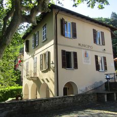
Town hall of Trarego Viggiona
2.1 km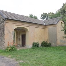
Oratorio della Beata Vergine delle Grazie
174 m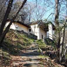
San Luca oratory
4.1 km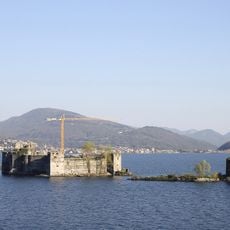
Castello La Malpaga
1.4 km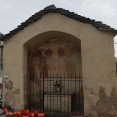
Cappella di Santa Maria del Buri
1.4 kmVisited this place? Tap the stars to rate it and share your experience / photos with the community! Try now! You can cancel it anytime.
Discover hidden gems everywhere you go!
From secret cafés to breathtaking viewpoints, skip the crowded tourist spots and find places that match your style. Our app makes it easy with voice search, smart filtering, route optimization, and insider tips from travelers worldwide. Download now for the complete mobile experience.

A unique approach to discovering new places❞
— Le Figaro
All the places worth exploring❞
— France Info
A tailor-made excursion in just a few clicks❞
— 20 Minutes