
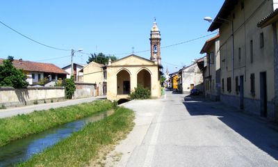
Lamporo, Italian comune
Location: Province of Vercelli
Capital city: Lamporo
Elevation above the sea: 165 m
Shares border with: Livorno Ferraris, Crescentino, Saluggia
Website: http://lamporo.suinternet.it
GPS coordinates: 45.23333,8.10000
Latest update: March 12, 2025 16:51
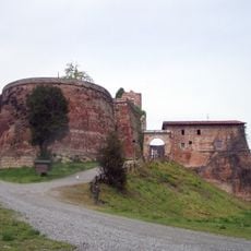
Rocca di Verrua Savoia
6.6 km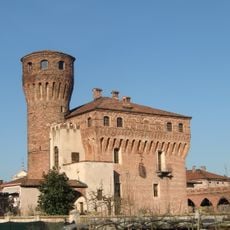
Castello di San Genuario
4.1 km
Palazzo Chiablese
6.2 km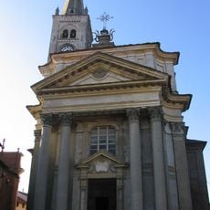
San Lorenzo Martire
5.7 km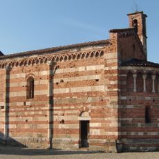
Chiesa di San Pietro Vecchio al Cimitero
9.1 km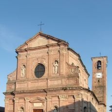
Parrocchiale di San Pietro, Brusasco
9.2 km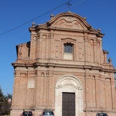
San Giovanni Battista, Verrua Savoia
8.1 km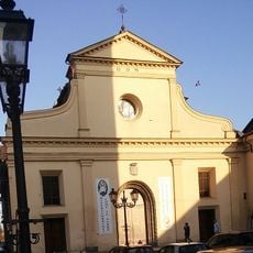
Chiesa della Beata Vergine Assunta
4.5 km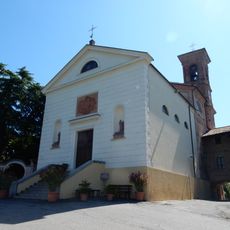
Chiesa dell'Assunzione di Maria Vergine
9.9 km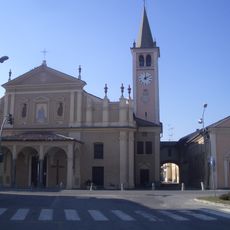
Chiesa di San Bernardo
404 m
San Francesco
6.9 km
San Grato
6.9 km
San Giovanni Battista
7.1 km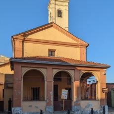
San Bonaventura
6.7 km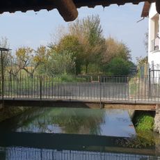
Mulino San Giovanni
8.5 km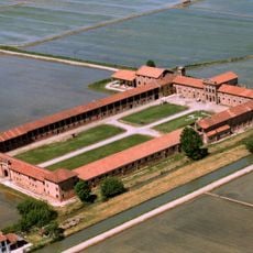
Tenuta Colombara
6.1 km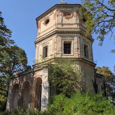
Church of The Holy Name of Mary
10.1 km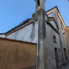
Santa Elisabetta
6.9 km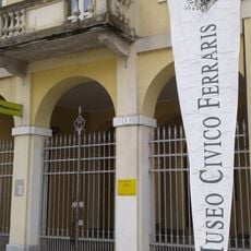
Museo sacrario "Galileo e Adamo Ferraris"
5.6 km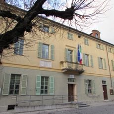
Town hall of Brusasco
9.2 km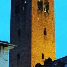
Torre civica
4.5 km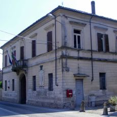
Town hall of Lamporo
409 m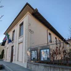
Town hall of Saluggia
7 km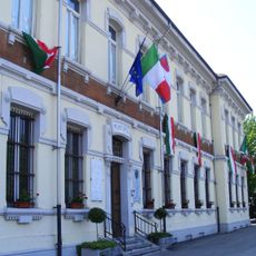
Town hall of Fontanetto Po
8.5 km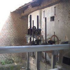
Mulino di San Giovanni
8.5 km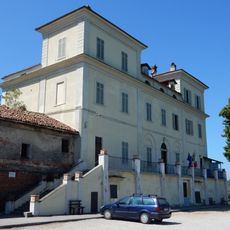
Town hall of Moncestino
9.9 km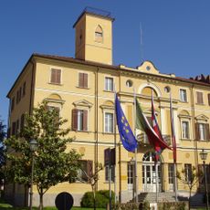
Town hall of Livorno Ferraris
5.6 km
Town hall of Crescentino
4.6 kmReviews
Visited this place? Tap the stars to rate it and share your experience / photos with the community! Try now! You can cancel it anytime.
Discover hidden gems everywhere you go!
From secret cafés to breathtaking viewpoints, skip the crowded tourist spots and find places that match your style. Our app makes it easy with voice search, smart filtering, route optimization, and insider tips from travelers worldwide. Download now for the complete mobile experience.

A unique approach to discovering new places❞
— Le Figaro
All the places worth exploring❞
— France Info
A tailor-made excursion in just a few clicks❞
— 20 Minutes