
Villanterio, Italian comune
Location: Province of Pavia
Capital city: Villanterio
Elevation above the sea: 75 m
Shares border with: Torre d'Arese, Valera Fratta, Gerenzago, Magherno, Sant'Angelo Lodigiano, Inverno e Monteleone, Marudo
Website: http://comune.villanterio.pv.it
GPS coordinates: 45.21667,9.36667
Latest update: May 16, 2025 16:07
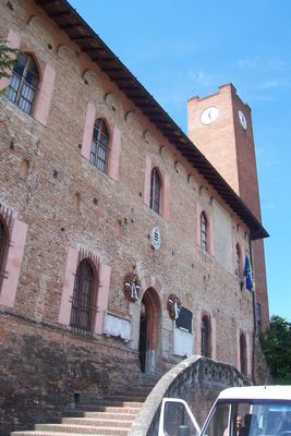
Attendolo Bolognini Castle
4.1 km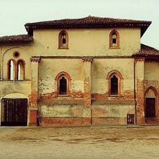
Palazzo Reale (Corteolona)
6.9 km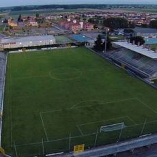
Stadio Carlo Chiesa
3.9 km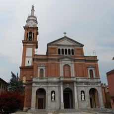
Sant'Antonio abate e Santa Francesca Cabrini Basilica
4.2 km
Monastero di Santa Cristina
7 km
Lurani Palace
7 km
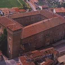
Castello Bolognini
4.1 km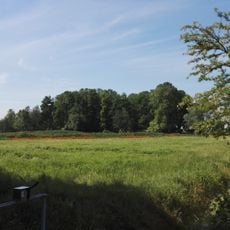
Parco dei Sillari
8.1 km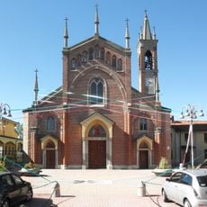
San Giovanni Battista e Martire Church
8.7 km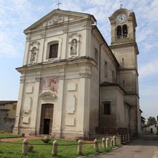
Chiesa di San Martino Vescovo
4.8 km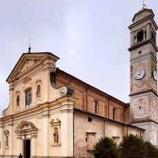
Santa Caterina Church
7 km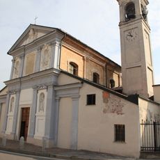
San Michele Arcangelo
6.6 km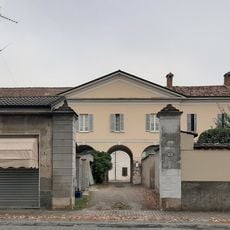
Maggi Pizzagalli Palace
5.5 km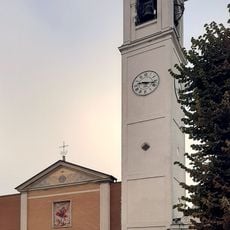
San Michele Arcangelo Church
5.5 km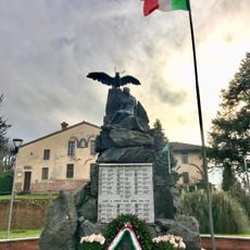
Monumento ai caduti
4.2 km
Caselle Lurani Town Hall
7 km
Purificazione della Beata Vergine Maria Church
9 km
San Giorgio Martire Church
8.4 km
Santi Vito, Modesto e Crescenzia Martiri Church
8.9 km
Santi Pietro e Paolo Church
7 km
Santa Maria Nascente Church
5.9 km
Santa Croce Oratory
6.4 km
Vistarini Castle
8.9 km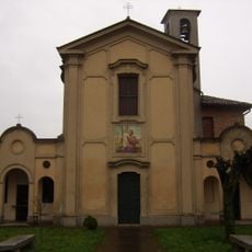
San Giuseppe al Lazzaretto Oratory
4.7 km
San Francesco Oratory
7.9 km
Cascina Triulza
7.8 km
Natività di San Giovanni Battista
7.7 km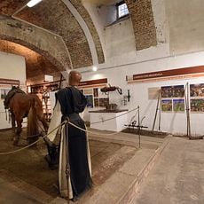
MULSA - Museo di storia dell'agricoltura
4 kmReviews
Visited this place? Tap the stars to rate it and share your experience / photos with the community! Try now! You can cancel it anytime.
Discover hidden gems everywhere you go!
From secret cafés to breathtaking viewpoints, skip the crowded tourist spots and find places that match your style. Our app makes it easy with voice search, smart filtering, route optimization, and insider tips from travelers worldwide. Download now for the complete mobile experience.

A unique approach to discovering new places❞
— Le Figaro
All the places worth exploring❞
— France Info
A tailor-made excursion in just a few clicks❞
— 20 Minutes