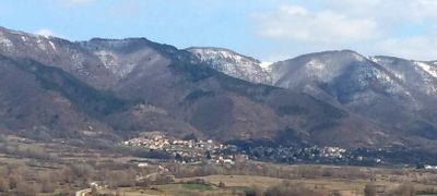
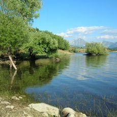
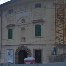
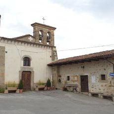
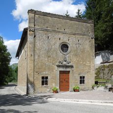
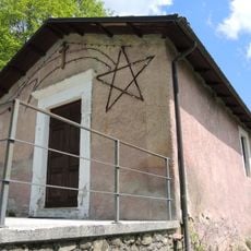
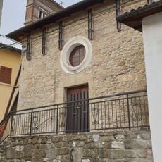
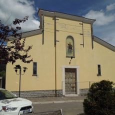
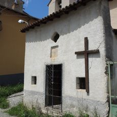
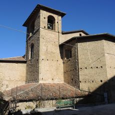
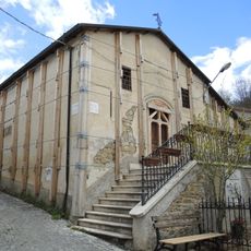
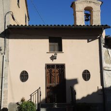
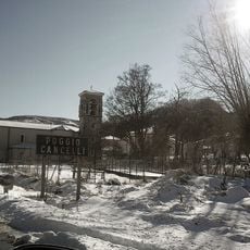
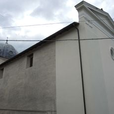
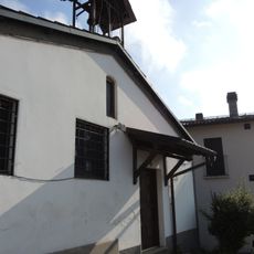
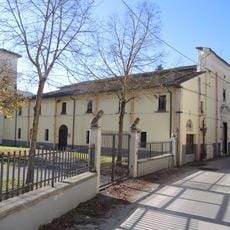
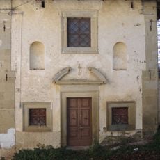
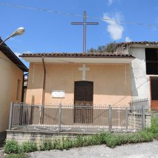
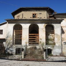
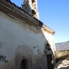
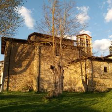
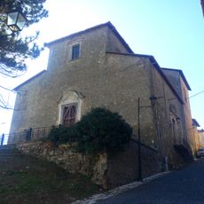
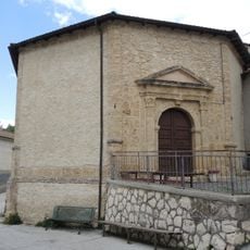
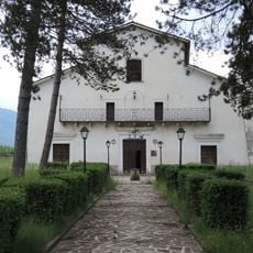
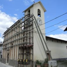
Capitignano, Italian comune
Location: Province of L'Aquila
Elevation above the sea: 916 m
Shares border with: Campotosto, L’Aquila, Montereale, Abruzzo, Pizzoli
Website: http://comune.capitignano.it
GPS coordinates: 42.52041,13.30122
Latest update: March 26, 2025 04:53
Lake Campotosto
6.8 km
Lake Campotosto reserve
7.4 km
Palazzo Ricci
378 m
Santa Vittoria e San Giacomo
6.3 km
Santa Maria Apparente
7.4 km
Chiesa di San Tommaso
4.5 km
Santissimo Salvatore
6.2 km
Santa Maria Assunta
7 km
Santa Maria della Valle
7.1 km
San Vito
3.9 km
Beato Andrea
4.6 km
Santa Lucia
6.6 km
Chiesa di Santa Lucia
4 km
Chiesa di San Giovanni Battista
3.9 km
Chiesa di San Giorgio
5 km
Chiesa di San Giovanni Battista
2.6 km
Chiesa della Madonna della Neve
4.2 km
Sant'Eutizio
6.9 km
San Leonardo
4.3 km
San Giacomo
4.7 km
Santa Maria della Pietà
4.6 km
Anime Sante
4.7 km
Madonna delle Grazie
4.8 km
Madonna del Carmine
4.6 km
Santa Maria Assunta
4.6 km
Santa Chiara da Montefalco
3 km
Santa Maria in Pantanis
3.8 km
Chiesa del Santissimo Salvatore
4.8 kmReviews
Visited this place? Tap the stars to rate it and share your experience / photos with the community! Try now! You can cancel it anytime.
Discover hidden gems everywhere you go!
From secret cafés to breathtaking viewpoints, skip the crowded tourist spots and find places that match your style. Our app makes it easy with voice search, smart filtering, route optimization, and insider tips from travelers worldwide. Download now for the complete mobile experience.
A unique approach to discovering new places❞
— Le Figaro
All the places worth exploring❞
— France Info
A tailor-made excursion in just a few clicks❞
— 20 Minutes