
Colloredo di Monte Albano, Italian comune
Location: ente di decentramento regionale di Udine
Capital city: Colloredo di Monte Albano
Elevation above the sea: 218 m
Shares border with: Buja, Cassacco, Fagagna, Majano, Moruzzo, Pagnacco, Rive d'Arcano, Treppo Grande, Tricesimo
Website: http://comune.colloredodimontealbano.ud.it
GPS coordinates: 46.16667,13.13333
Latest update: March 3, 2025 01:09

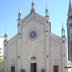
Santo Stefano Protomartire Church
4.7 km
Santi Pietro e Paolo Church
5.2 km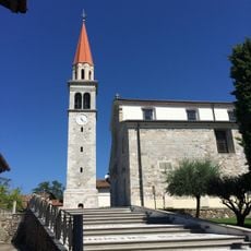
Chiesa di Santa Margherita
6.2 km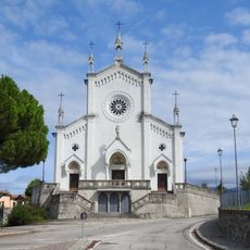
Chiesa di San Michele Arcangelo, Vendoglio
2.1 km
Chiesa di San Lorenzo Martire
5.7 km
Chiesa di San Giovanni Battista
4.1 km
Santa Maria Assunta
6.2 km
San Giorgio
6.3 km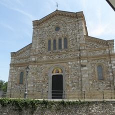
Chiesa dei Santi Pietro e Paolo
7.2 km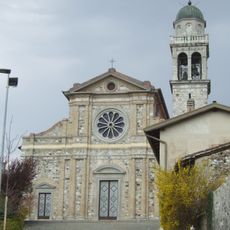
San Tomaso
5.3 km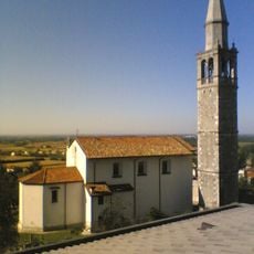
Sant'Andrea Apostolo
7.9 km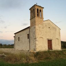
Entesano
2.1 km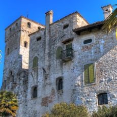
Castello di Villalta
6.9 km
Immacolata Concezione
3.2 km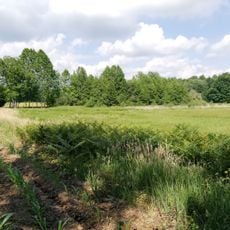
Biotopo torbiera Cichinot
5 km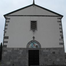
San Marco Evangelista
4.3 km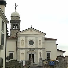
Santi Andrea e Mattia Apostoli
564 m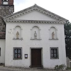
Natività di Maria Church
5.2 km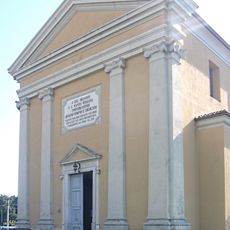
Chiesa di Santo Stefano Protomartire
7.4 km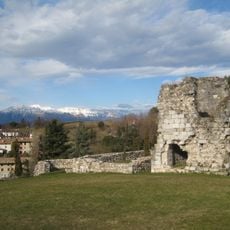
Fagagna Castle
6.8 km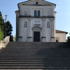
Chiesa di San Nicola
5.8 km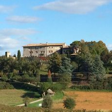
Castle of Arcano
8 km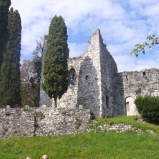
Castello di Brazzà
4.7 km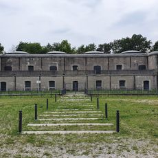
Forte di Col Roncòn
7.5 km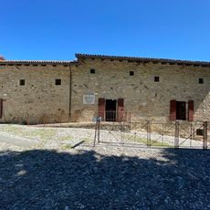
Museo d'Arte della Medaglia e della Città di Buja
5.7 km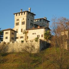
Castello
4.6 km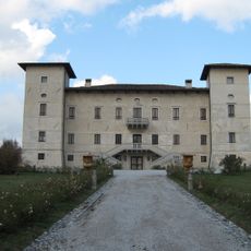
Castle of Susans
7 km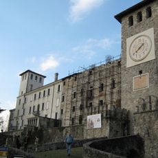
Castle of Colloredo
504 mReviews
Visited this place? Tap the stars to rate it and share your experience / photos with the community! Try now! You can cancel it anytime.
Discover hidden gems everywhere you go!
From secret cafés to breathtaking viewpoints, skip the crowded tourist spots and find places that match your style. Our app makes it easy with voice search, smart filtering, route optimization, and insider tips from travelers worldwide. Download now for the complete mobile experience.

A unique approach to discovering new places❞
— Le Figaro
All the places worth exploring❞
— France Info
A tailor-made excursion in just a few clicks❞
— 20 Minutes