
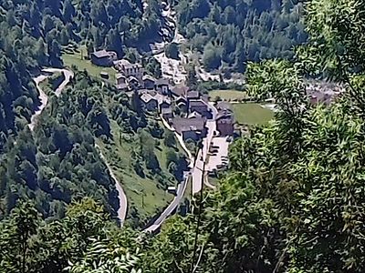
Rossa, Italian comune
Location: Province of Vercelli
Elevation above the sea: 813 m
Website: http://www.comune.rossa.vc.it
Shares border with: Balmuccia, Boccioleto, Cervatto, Cravagliana, Fobello, Alto Sermenza
Website: http://comune.rossa.vc.it
GPS coordinates: 45.85465,8.12165
Latest update: April 22, 2025 23:23
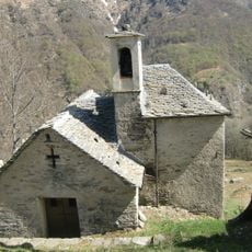
Oratorio di San Lorenzo all'alpe Seccio
1.2 km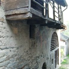
Oratorio di San Pantaleone
2.6 km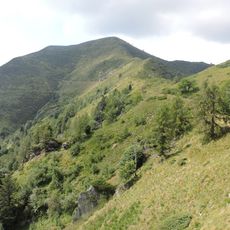
Pizzo Tracciora di Cervatto
1.2 km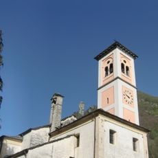
Santi Pietro e Paolo
2.8 km
San Giacomo Maggiore
4.8 km
San Giovanni
2.1 km
Chiesa Parrocchiale di San Giacomo
4.6 km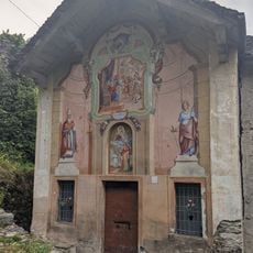
Oratory of San Quirico
3.8 km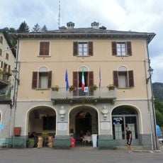
Town hall of Cervatto
4.5 km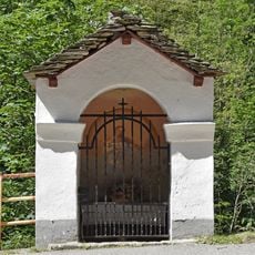
Edicola votiva
4.8 km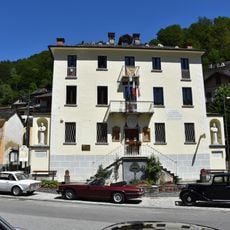
Fobello town hall
4.8 km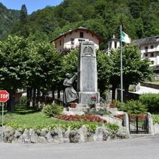
Monumento ai caduti
4.8 km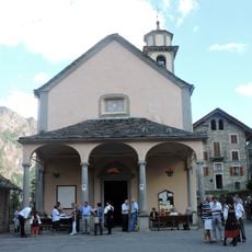
San Rocco
4.5 km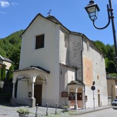
Santa Margherita
4.2 km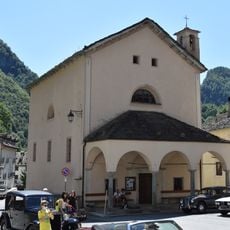
Oratorio della Visitazione
4.8 km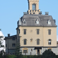
Castello di Cervatto
4.6 km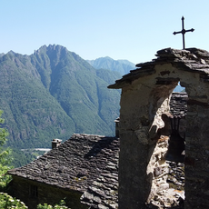
San Giovanni il vecchio
2.1 km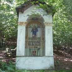
Cappella dell'Addolorata
4.7 km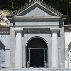
Cappella Lancia
4.7 km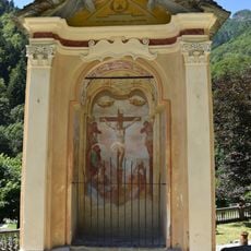
Via Crucis
4.8 km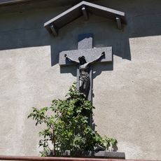
Cappella del Crocifisso
4.8 km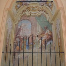
Via Crucis
4.8 km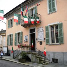
Town hall of Boccioleto
2.8 km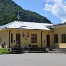
Town hall of Balmuccia
4.2 km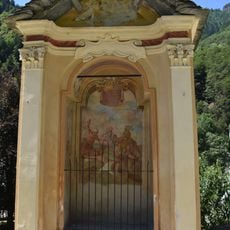
Via Crucis
4.8 km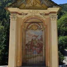
Via Crucis
4.8 km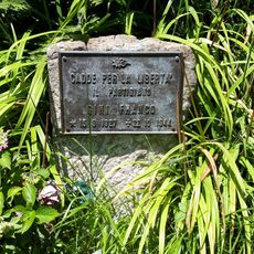
Cippo a Franco Gini
4.8 km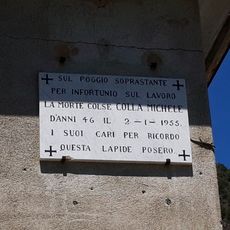
Targa a Michele Colla
4.8 kmReviews
Visited this place? Tap the stars to rate it and share your experience / photos with the community! Try now! You can cancel it anytime.
Discover hidden gems everywhere you go!
From secret cafés to breathtaking viewpoints, skip the crowded tourist spots and find places that match your style. Our app makes it easy with voice search, smart filtering, route optimization, and insider tips from travelers worldwide. Download now for the complete mobile experience.

A unique approach to discovering new places❞
— Le Figaro
All the places worth exploring❞
— France Info
A tailor-made excursion in just a few clicks❞
— 20 Minutes