
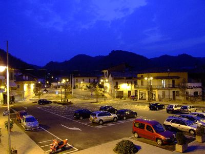
Serravalle Sesia, Italian comune
Location: Province of Vercelli
Capital city: Serravalle Sesia
Elevation above the sea: 313 m
Shares border with: Borgosesia, Crevacuore, Gattinara, Grignasco, Guardabosone, Lozzolo, Prato Sesia, Romagnano Sesia, Sostegno
Website: http://comune.serravallesesia.vc.it
GPS coordinates: 45.68333,8.31667
Latest update: March 11, 2025 01:33
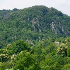
Monte Fenera Natural Park
3 km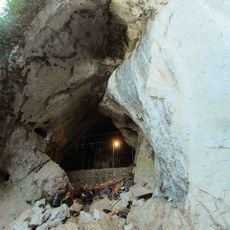
Ciota Ciara
3.1 km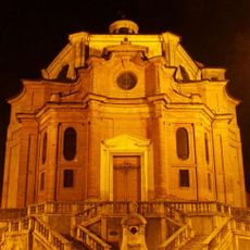
Santa Maria Assunta
1.6 km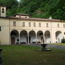
Madonna della Fontana Sanctuary
5.3 km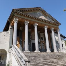
Santuario di Sant'Euseo
1.4 km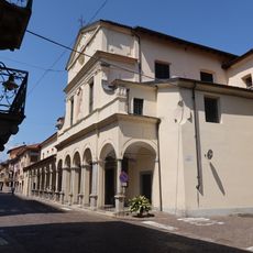
San Giovanni Battista Church
708 m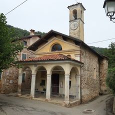
San Grato
1.4 km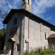
Chiesa di San Giulio
3 km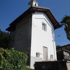
Chiesa di San Giuseppe
2.2 km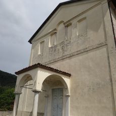
Sant'Agata
1 km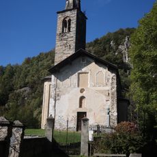
Chiesa di Sant'Antonio abate
3.2 km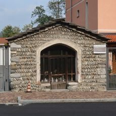
Oratorio di San Rocco
3.6 km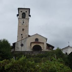
San Graziano
1.5 km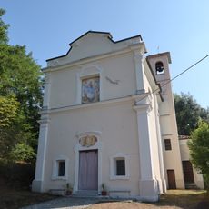
Chiesa della Madonna della Neve
4.3 km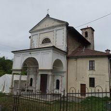
Church of Saint Gaudentius (Borgosesia)
3.2 km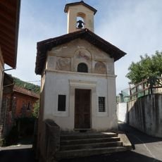
Churche of Mary Help of Christians (Guardella)
4.1 km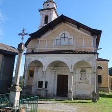
Chiesa di Maria Maddalena
3.4 km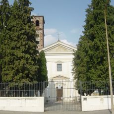
Santa Maria in Bovagliano
2 km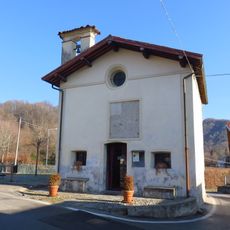
Church of Saint Gratus (Borgosesia)
3.8 km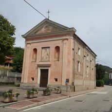
San Rocco
2.8 km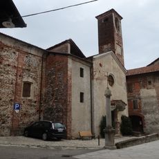
Chiesa di Santa Maria delle Grazie
1.6 km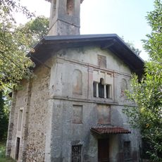
Chiesa della Santissima Annunziata
2 km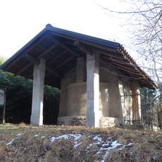
Cappella di Sant'Antonio
2.6 km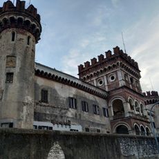
Castello degli Avondo
882 m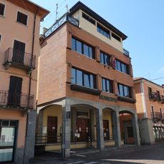
Town hall of Serravalle Sesia
510 m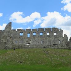
Castle of Vintebbio
2 km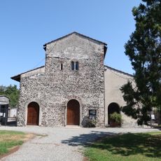
Santa Maria di Naula
943 m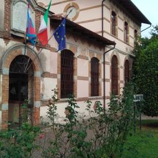
Town hall of Sostegno
5 kmReviews
Visited this place? Tap the stars to rate it and share your experience / photos with the community! Try now! You can cancel it anytime.
Discover hidden gems everywhere you go!
From secret cafés to breathtaking viewpoints, skip the crowded tourist spots and find places that match your style. Our app makes it easy with voice search, smart filtering, route optimization, and insider tips from travelers worldwide. Download now for the complete mobile experience.

A unique approach to discovering new places❞
— Le Figaro
All the places worth exploring❞
— France Info
A tailor-made excursion in just a few clicks❞
— 20 Minutes