
Predosa, municipality in Italy
Location: Province of Alessandria
Capital city: Predosa
Elevation above the sea: 136 m
Shares border with: Basaluzzo, Bosco Marengo, Capriata d'Orba, Carpeneto, Casal Cermelli, Castellazzo Bormida, Castelspina, Rocca Grimalda, Sezzadio, Fresonara
Website: http://comune.predosa.al.it
GPS coordinates: 44.75222,8.65639
Latest update: March 4, 2025 03:08

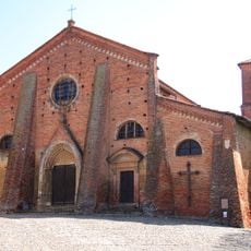
San Francesco's Church
10.3 km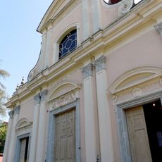
Natività di Maria Vergine Church
4.2 km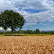
Riserva naturale Speciale Torrente Orba
4.9 km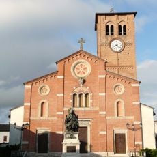
Santi Pietro e Pantaleone
7.9 km
Santi Quirico e Giulitta Church
8.7 km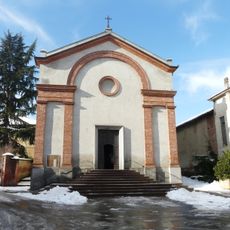
Chiesa della Natività di Maria
118 m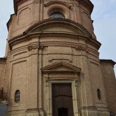
Santa Caterina
10.3 km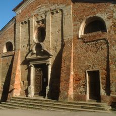
San Giacomo
10.4 km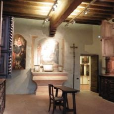
San Francesco's museum
10.2 km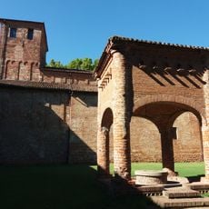
Abbazia di Santa Giustina
7 km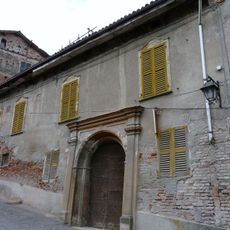
Casa Arcasio
10.3 km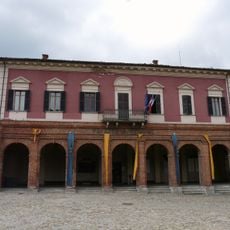
Townhall
10.4 km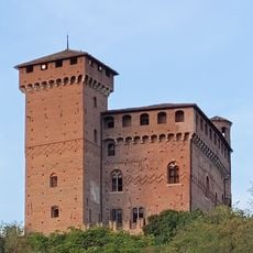
Castello
6.6 km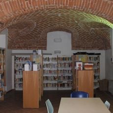
Biblioteca civica "Ettore Amerio"
10.5 km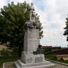
Monumento ai Caduti Piazza Vittorio Veneto
10.3 km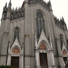
Santa Maria Immacolata
7.7 km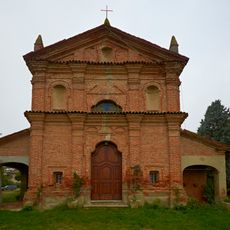
Santa Maria di Fontaniale
10.2 km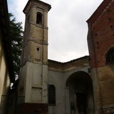
Santissima Trinità
10.3 km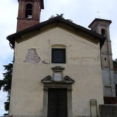
San Bernardino
10.3 km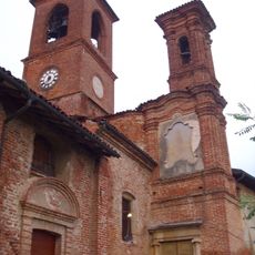
Sant'Antonio (Cassine)
10.2 km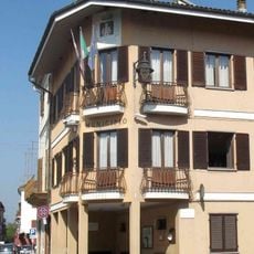
Town hall of Rivalta Bormida
9.5 km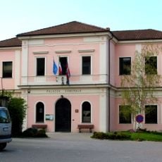
Town hall of Silvano d'Orba
7.5 km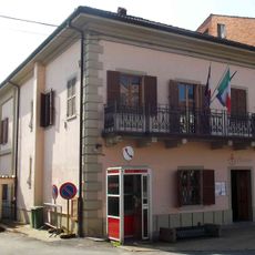
Palazzo comunale
8.8 km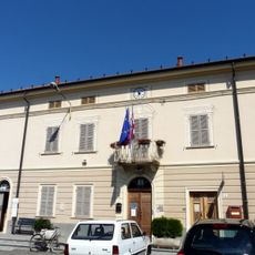
Town hall of Fresonara
4.1 km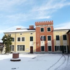
Town hall of Capriata d'Orba
3.6 km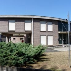
Town hall of Basaluzzo
4.3 km
Town hall of Sezzadio
7.6 km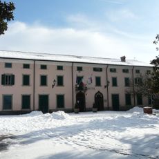
Town hall of Predosa
230 mReviews
Visited this place? Tap the stars to rate it and share your experience / photos with the community! Try now! You can cancel it anytime.
Discover hidden gems everywhere you go!
From secret cafés to breathtaking viewpoints, skip the crowded tourist spots and find places that match your style. Our app makes it easy with voice search, smart filtering, route optimization, and insider tips from travelers worldwide. Download now for the complete mobile experience.

A unique approach to discovering new places❞
— Le Figaro
All the places worth exploring❞
— France Info
A tailor-made excursion in just a few clicks❞
— 20 Minutes