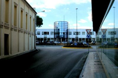
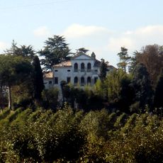
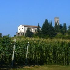
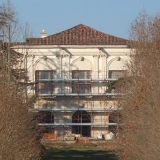
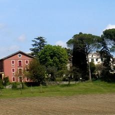
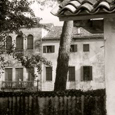
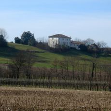
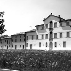
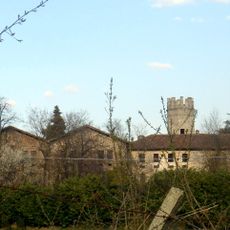
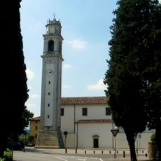
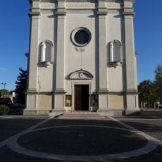
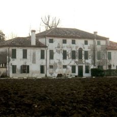
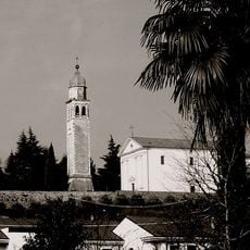
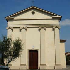
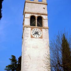
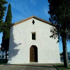
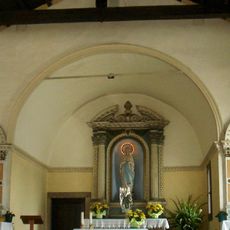
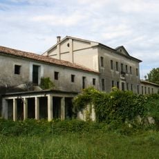
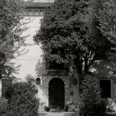
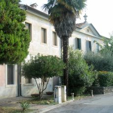
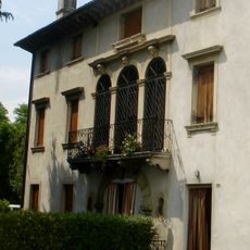
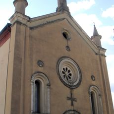
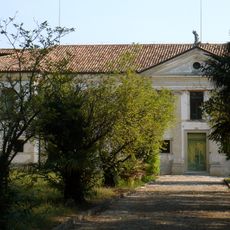
San Fior, Italian comune
Location: Province of Treviso
Elevation above the sea: 57 m
Shares border with: Codognè, Colle Umberto, Conegliano, Godega di Sant'Urbano, San Vendemiano
Website: http://comune.san-fior.tv.it
GPS coordinates: 45.92219,12.36137
Latest update: March 11, 2025 18:23
Villa Gera Amadio Maresio detta Palazzo delle Anime
3.9 km
Chiesa parrocchiale dei Santi Pietro e Paolo
1.9 km
Villa Paccagnella
5.1 km
Villa Lippomano
4 km
Villa Morosini Lucheschi Valforte
1.4 km
San Giovanni Battista
387 m
Villa Montalbano Balbi Valier Paoletti
7.3 km
Villa Fabris
2.6 km
Villa Liccer
2.6 km
Villa Cadorin Soldi
700 m
Parrocchia di San Vendemiale vescovo (San Vendemiano, Italy)
4 km
Chiesa di Santa Margherita
2.9 km
Villa Moretti
5 km
Villa Malvolti
2.8 km
Chiesa di San Tommaso Apostolo
2.5 km
Villa Fabris Giavi
5.5 km
Chiesa di San Pietro in Vincoli
3.8 km
Campanile
1.9 km
San Martino ai Gai
1.6 km
Chiesa di San Bernardino
59 m
Villa Vettori
4.8 km
Villa Sanfiori
2 km
Villa Soldera
4.9 km
Villa Pampanini
67 m
Casa Ongaro Marcon
168 m
Santa Giustina
2.3 km
Piloni della Vittoria
5.5 km
Villa Civran Morpurgo Pini-Puig
4.4 kmReviews
Visited this place? Tap the stars to rate it and share your experience / photos with the community! Try now! You can cancel it anytime.
Discover hidden gems everywhere you go!
From secret cafés to breathtaking viewpoints, skip the crowded tourist spots and find places that match your style. Our app makes it easy with voice search, smart filtering, route optimization, and insider tips from travelers worldwide. Download now for the complete mobile experience.
A unique approach to discovering new places❞
— Le Figaro
All the places worth exploring❞
— France Info
A tailor-made excursion in just a few clicks❞
— 20 Minutes