
Loro Piceno, Italian comune
Location: Province of Macerata
Capital city: Loro Piceno
Elevation above the sea: 436 m
Shares border with: Colmurano, Mogliano, Petriolo, Sant'Angelo in Pontano, Urbisaglia, Massa Fermana, Montappone, Ripe San Ginesio
Website: http://comune.loropiceno.mc.it
GPS coordinates: 43.16626,13.41610
Latest update: March 19, 2025 20:13

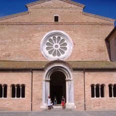
Chiaravalle Abbey, Fiastra
6.2 km
Archaeological Park of Urbs Salvia
4.3 km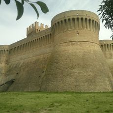
Rocca di Urbisaglia
4.6 km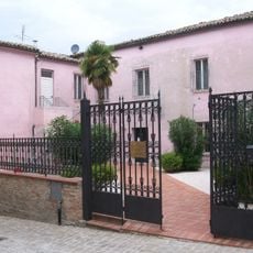
State Archaeological Museum of Urbisaglia
4.7 km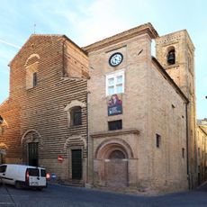
Santa Maria in Piazza
5.7 km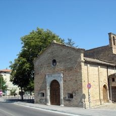
Madonna della Maestà
4.9 km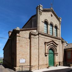
San Lorenzo
5.2 km
San Francesco, Loro Piceno
95 m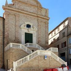
San Gregorio Magno, Mogliano
5.6 km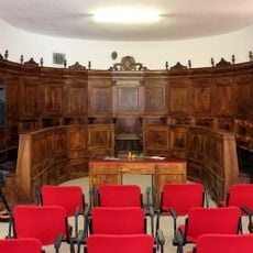
Palazzo comunale
4.9 km
San Michele Arcangelo
6.8 km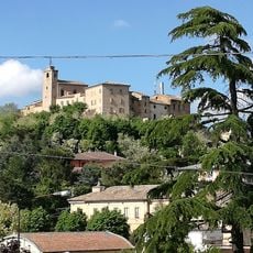
Museo del Cappello Montappone
5.4 km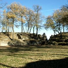
Amphitheatre of Urbs Salvia
4.5 km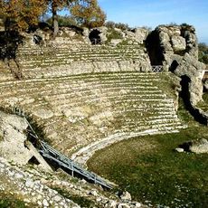
Roman Theatre of Urbisaglia
4.6 km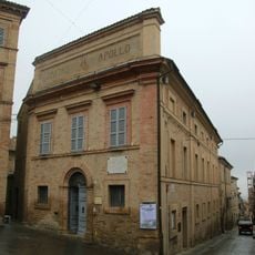
Teatro Apollo
5.8 km
Pinacoteca di Massa Fermana
5.1 km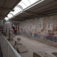
Temple-Cryptoporticus
4.3 km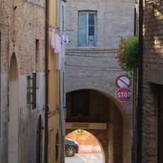
City gates in Urbisaglia
4.7 km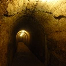
Cistern
4.7 km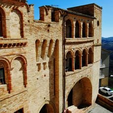
Mura
5.2 km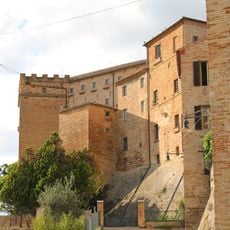
Castle of Brunforte
43 m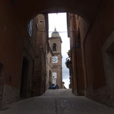
Porta Piave
4.6 km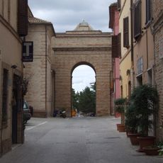
Porta Vittoria
4.7 km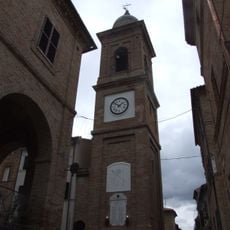
Torre civica
4.7 km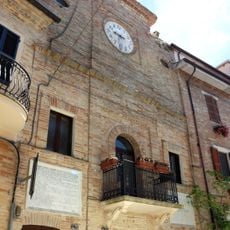
Palazzo dell'Orologio
5.2 km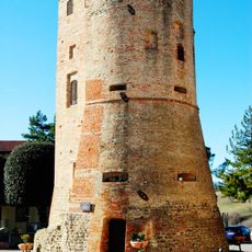
Rocca Leonina
4.7 km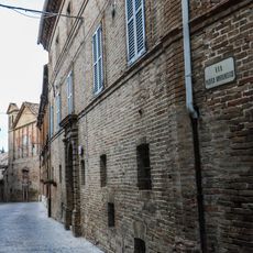
Palazzo Mastrocola
88 m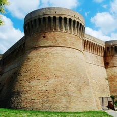
Rocca
5.5 kmVisited this place? Tap the stars to rate it and share your experience / photos with the community! Try now! You can cancel it anytime.
Discover hidden gems everywhere you go!
From secret cafés to breathtaking viewpoints, skip the crowded tourist spots and find places that match your style. Our app makes it easy with voice search, smart filtering, route optimization, and insider tips from travelers worldwide. Download now for the complete mobile experience.

A unique approach to discovering new places❞
— Le Figaro
All the places worth exploring❞
— France Info
A tailor-made excursion in just a few clicks❞
— 20 Minutes