
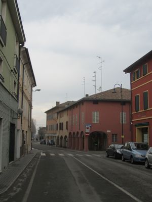
Sant'Ilario d'Enza, Italian comune
Location: Province of Reggio Emilia
Capital city: Sant'Ilario d'Enza
Elevation above the sea: 59 m
Shares border with: Gattatico, Montecchio Emilia, Montechiarugolo, Campegine, Parma, Reggio Emilia
Website: http://comune.santilariodenza.re.it
GPS coordinates: 44.75191,10.47143
Latest update: March 3, 2025 08:53
Historical House Museum Cervi
4.8 km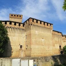
Castello di Montechiarugolo
7.6 km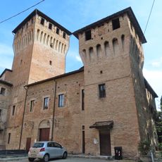
Castello di Montecchio Emilia
6.1 km
Terme Borrini
6.6 km
Villa Lalatta Costerbosa
6.5 km
Sant'Eulalia Church
1.9 km
San Terenziano Church
7.6 km
Museo Cervi
4.8 km
San Donnino Martire
5.8 km
Santa Felicola
6.2 km
Convento
7.3 km
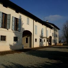
Villa Borri
7.5 km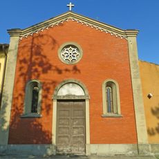
Santo Stefano
5.2 km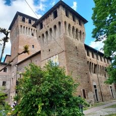
Municipio di Montecchio Emilia
6.1 km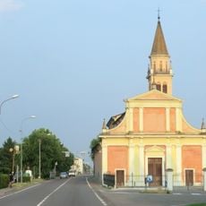
Santa Margherita Church
1.2 km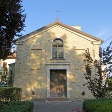
San Biagio
7.5 km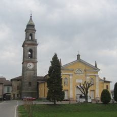
San Pietro Apostolo Church
5.8 km
Chiesa di San Giuliano Martire (Reggio Emilia)
2.8 km
San Giacomo Maggiore
3.8 km
Forum
2.2 km
Santo Stefano
7.2 km
Villa Mattei
5.4 km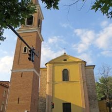
San Prospero Church
6.5 km
San Martino
7.7 km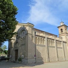
San Quintino
7.6 km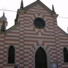
San Rocco Church
4.1 km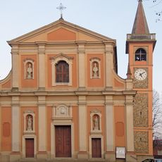
Chiesa di San Matteo
5.9 km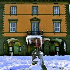
Old town hall
7.7 kmReviews
Visited this place? Tap the stars to rate it and share your experience / photos with the community! Try now! You can cancel it anytime.
Discover hidden gems everywhere you go!
From secret cafés to breathtaking viewpoints, skip the crowded tourist spots and find places that match your style. Our app makes it easy with voice search, smart filtering, route optimization, and insider tips from travelers worldwide. Download now for the complete mobile experience.

A unique approach to discovering new places❞
— Le Figaro
All the places worth exploring❞
— France Info
A tailor-made excursion in just a few clicks❞
— 20 Minutes