
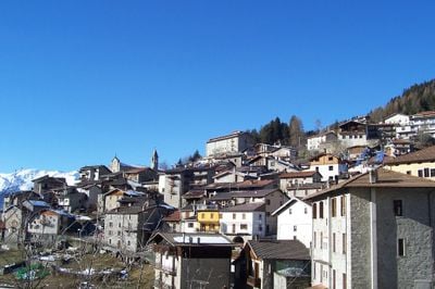
Saviore dell'Adamello, Italian comune
Location: Province of Brescia
Elevation above the sea: 1,100 m
Website: http://www.comune.saviore-delladamello.bs.it
Shares border with: Cevo, Valdaone, Ponte di Legno, Sonico, Edolo, Spiazzo
Website: http://comune.saviore-delladamello.bs.it
GPS coordinates: 46.08139,10.40056
Latest update: March 5, 2025 02:11

Mount Adamello
11.1 km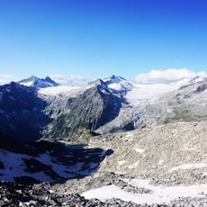
Ghiacciaio dell'Adamello
13.1 km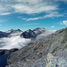
Parco naturale dell'Adamello
1.8 km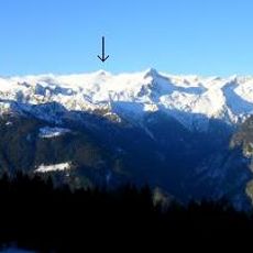
Corno di Cavento
15.5 km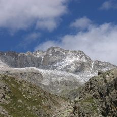
Corno Baitone
10.7 km
Crozzon di Lares
16.6 km
Lobbia alta
16.3 km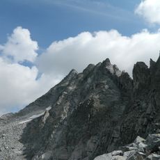
Cima Plem
9.2 km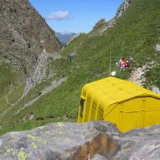
Bivacco Valerio Festa
11 km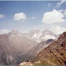
Corno Miller
9.9 km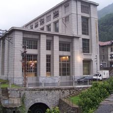
Museo dell'energia idroelettrica di Valcamonica
4 km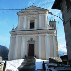
San Giovanni Battista Church
326 m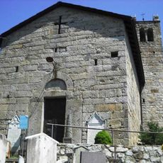
Chiesa di San Sisto
2.2 km
Chiesa di San Girolamo
4 km
Sant'Andrea Church
9.6 km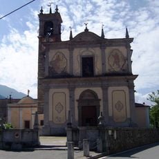
San Lorenzo Martire Church
9.6 km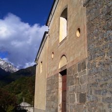
Chiesa di San Lorenzo
6.4 km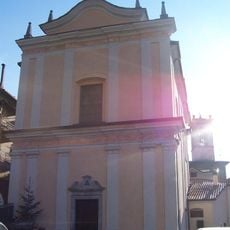
Chiesa di San Lorenzo Martire
4.4 km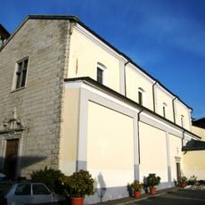
Chiesa di San Vigilio
2.3 km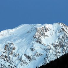
La Calotta
15.5 km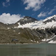
Punta del Venerocolo
14.5 km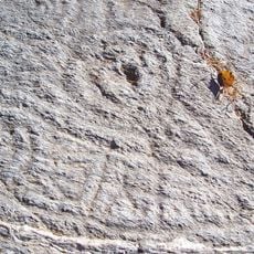
Parco archeologico comunale di Sonico
10.3 km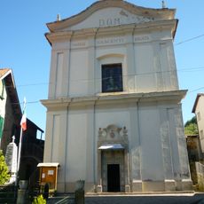
Chiesa di Santa Maria Nascente
6.3 km
Cima Cop di Casa
14.3 km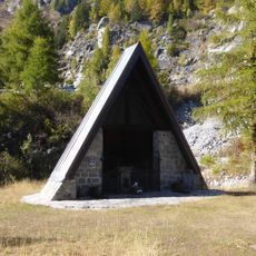
Regina Pacis chapel
9.2 km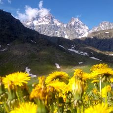
Pian della Regina
3.3 km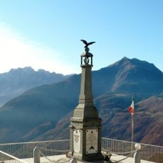
War memorial in Cevo
2.5 km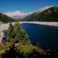
Lago di Bissina
9.9 kmReviews
Visited this place? Tap the stars to rate it and share your experience / photos with the community! Try now! You can cancel it anytime.
Discover hidden gems everywhere you go!
From secret cafés to breathtaking viewpoints, skip the crowded tourist spots and find places that match your style. Our app makes it easy with voice search, smart filtering, route optimization, and insider tips from travelers worldwide. Download now for the complete mobile experience.

A unique approach to discovering new places❞
— Le Figaro
All the places worth exploring❞
— France Info
A tailor-made excursion in just a few clicks❞
— 20 Minutes