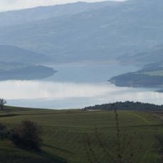
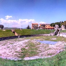
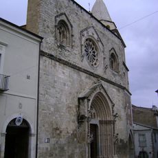
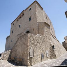
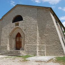
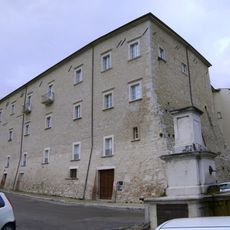
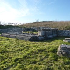
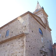
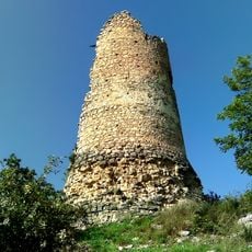
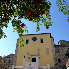
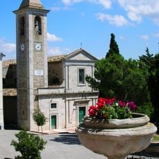
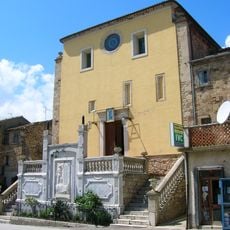
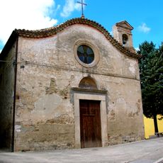
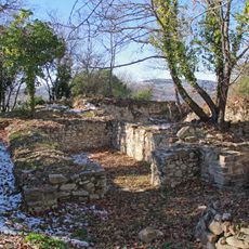
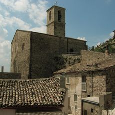
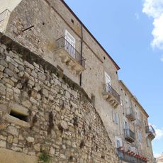
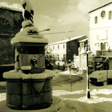
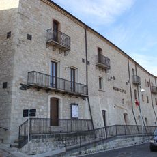
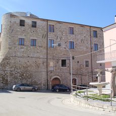
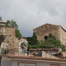
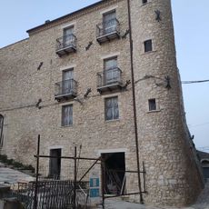
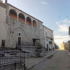
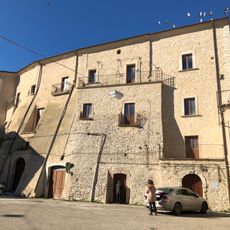
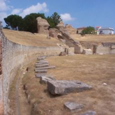
Sant’Elia a Pianisi, Italian comune
Location: province of Campobasso
Capital city: Sant'Elia a Pianisi
Elevation above the sea: 666 m
Shares border with: Bonefro, Carlantino, Macchia Valfortore, Monacilioni, Ripabottoni, San Giuliano di Puglia, Colletorto
Website: http://santamariadisala.gov.it
GPS coordinates: 41.62139,14.87611
Latest update: March 7, 2025 00:38
Lago di Occhito
7.4 km
Roman amphitheatre of Larino
20.8 km
Larino Cathedral
20.2 km
Castello di Capua
12.7 km
Abbey of Santa Maria di Faifoli
17.8 km
Castle of Pianisi
3.1 km
Villaggio Turistico Ciocca
12.9 km
Palazzo Ducale
20.1 km
Sanctuary in San Giovanni in Galdo
10.2 km
Santa Maria Assunta
21.2 km
Torre di Magliano
13.4 km
San Giovanni Battista
4.5 km
Chiesa di Santa Maria di Costantinopoli
4.6 km
Monumento ai Caduti
4.5 km
San Nicola di Bari
4.6 km
Castello di Gerione
13.4 km
San Giacomo
4.4 km
Palazzo Baronale dei Cardona
20.5 km
Fontana di Venere
4.5 km
Palazzo Baronale
9.9 km
Roverella
15.4 km
Palazzo Gambacorta
4.1 km
Croce stazionaria
4.4 km
Castello
19.8 km
Castello
10.5 km
Palazzo Baronale
17 km
Palazzo Ducale
17.8 km
Larinum
20.1 kmReviews
Visited this place? Tap the stars to rate it and share your experience / photos with the community! Try now! You can cancel it anytime.
Discover hidden gems everywhere you go!
From secret cafés to breathtaking viewpoints, skip the crowded tourist spots and find places that match your style. Our app makes it easy with voice search, smart filtering, route optimization, and insider tips from travelers worldwide. Download now for the complete mobile experience.
A unique approach to discovering new places❞
— Le Figaro
All the places worth exploring❞
— France Info
A tailor-made excursion in just a few clicks❞
— 20 Minutes