
Sover, Italian comune
Location: Trentino
Capital city: Sover
Elevation above the sea: 854 m
Shares border with: Bedollo, Capriana, Altavalle, Lona-Lases, Segonzano, Valfloriana
Website: http://comunesover.tn.it
GPS coordinates: 46.21667,11.31667
Latest update: March 3, 2025 01:53

Our Lady of Help sanctuary
3.3 km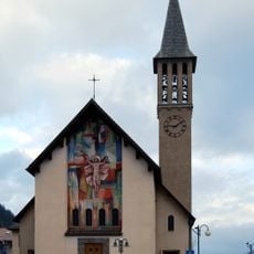
Madonna del Buon Consiglio
3.8 km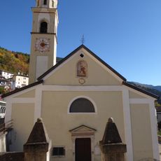
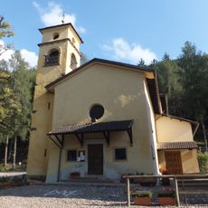
Saint Lawrence church
577 m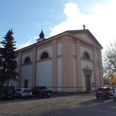
Saint Bartholomew church
5.4 km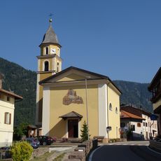
Saint Barbara church
2.7 km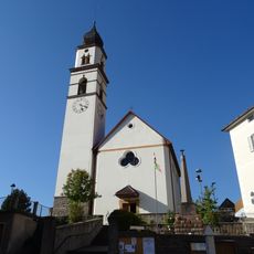
Saint Leonard church
785 m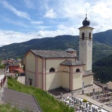
Saint Lucy church
1.9 km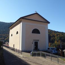
Saint Florian church
4.1 km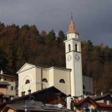
Saint Martin church
2.1 km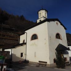
Holy Guardian Angels church
1.2 km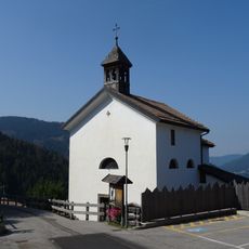
Saint Anthony of Padua church
5 km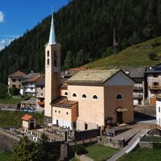
Saint Philip Neri church
3.5 km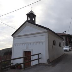
Our Lady of Caravaggio church
3.8 km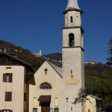
Church of Our Lady of Loreto
2.1 km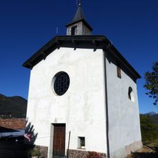
Saint Anthony of Padua church
2.4 km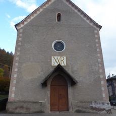
Immacolata church
6.3 km
Saint Roch chapel
1.9 km
Crucifix chapel
2.7 km
Exaltation of the Cross church
6.4 km
Our Lady of Sorrows chapel
271 m
Our Lady of Graces chapel
2.2 km
Madonnina del Capitel chapel
989 m
Saint John of Nepomuk chapel
3.6 km
Our Lady of La Salette chapel
1.6 km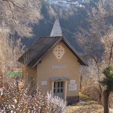
Saint Anne chapel
5.9 km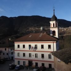
Town hall of Valfloriana
4.2 km
Our Lady of Lourdes chapel
3.2 km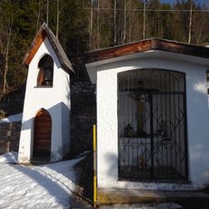
Capitel dei Masi
1.5 kmVisited this place? Tap the stars to rate it and share your experience / photos with the community! Try now! You can cancel it anytime.
Discover hidden gems everywhere you go!
From secret cafés to breathtaking viewpoints, skip the crowded tourist spots and find places that match your style. Our app makes it easy with voice search, smart filtering, route optimization, and insider tips from travelers worldwide. Download now for the complete mobile experience.

A unique approach to discovering new places❞
— Le Figaro
All the places worth exploring❞
— France Info
A tailor-made excursion in just a few clicks❞
— 20 Minutes