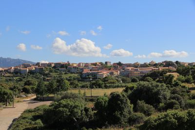
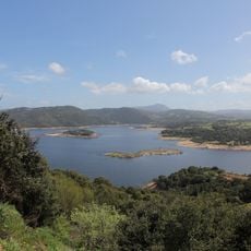
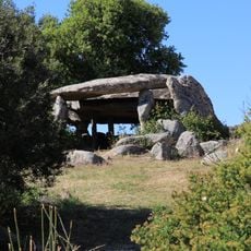
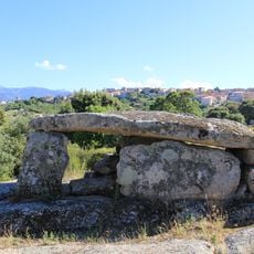
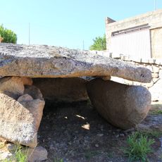
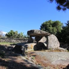
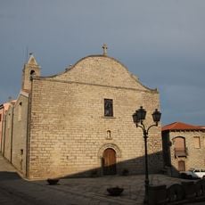
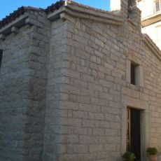
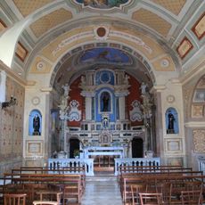
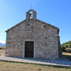
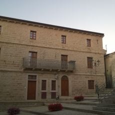
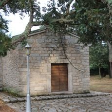
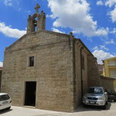
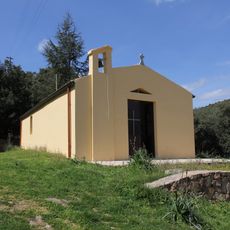
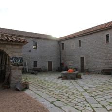
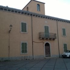
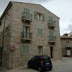
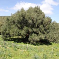
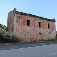
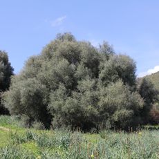
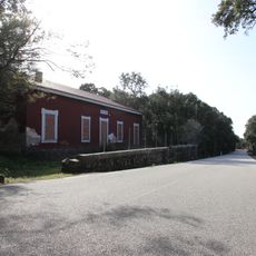
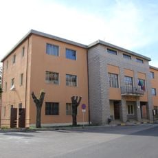
Luras, Italian comune
Location: Province of Sassari
Capital city: Luras
Elevation above the sea: 500 m
Shares border with: Arzachena, Luogosanto, Tempio Pausania, Calangianus, Sant'Antonio di Gallura
Website: http://comune.luras.ss.it
GPS coordinates: 40.93583,9.17472
Latest update: March 3, 2025 20:49
Lake Liscia
10.4 km
Stade Signora-Chiara
3 km
Dolmen di Ladas
972 m
Museum of Cork
2 km
Dolmen di Ciuledda
759 m
Dolmen di Alzoledda
584 m
Dolmen di Billella
1.2 km
Nostra Signora del Rosario
117 m
Chiesa di Sant'Anna
2.3 km
Santa Maria degli Angeli
2 km
San Leonardo Silonis
5.3 km
Palazzu Mannu
2.3 km
Chiesa di San Sebastiano
1.5 km
Chiesa di San Pietro
145 m
San Bartolomeo
10.3 km
Santa Croce
2.4 km
Chiesa del Purgatorio
83 m
Santa Croce
123 m
Chiesa di Santa Giusta
2.3 km
Ex convento dei frati cappuccini
2.1 km
Palazzo Corda
2.2 km
Palazzo La Littranga
2.3 km
Ozzastru
10.4 km
Casa cantoniera di Lu Sfussatu
7.6 km
Olivastro
10.4 km
Olivastro
10.4 km
Casa cantoniera di Catala
6.4 km
Town hall of Calangianus
2 kmReviews
Visited this place? Tap the stars to rate it and share your experience / photos with the community! Try now! You can cancel it anytime.
Discover hidden gems everywhere you go!
From secret cafés to breathtaking viewpoints, skip the crowded tourist spots and find places that match your style. Our app makes it easy with voice search, smart filtering, route optimization, and insider tips from travelers worldwide. Download now for the complete mobile experience.
A unique approach to discovering new places❞
— Le Figaro
All the places worth exploring❞
— France Info
A tailor-made excursion in just a few clicks❞
— 20 Minutes