
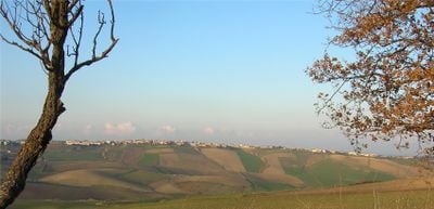
Ururi, Italian comune
Location: province of Campobasso
Capital city: Ururi
Elevation above the sea: 262 m
Website: http://www.comune.ururi.cb.it/hh/index.php
Shares border with: Larino, Montorio nei Frentani, Rotello, San Martino in Pensilis
Website: http://comune.ururi.cb.it/hh
GPS coordinates: 41.81667,15.01667
Latest update: May 16, 2025 11:17
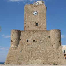
Castello Svevo
21 km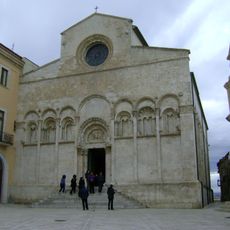
Termoli Cathedral
21.1 km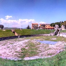
Roman amphitheatre of Larino
8.4 km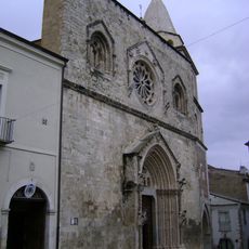
Larino Cathedral
9 km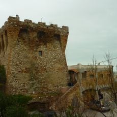
Sinarca tower
21.9 km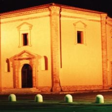
Madonna Grande sanctuary
10.2 km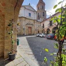
Insigne collegiata parrocchiale di Santa Maria Maggiore
13.7 km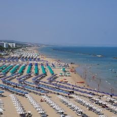
Spiaggia di Termoli
21.1 km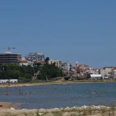
Spiaggia di Rio Vivo
19.7 km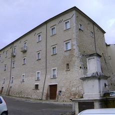
Palazzo Ducale
9 km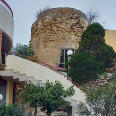
Meridiano tower
20.2 km
Castello di Dragonara
18 km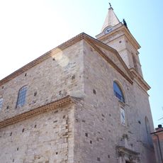
Santa Maria Assunta
18.6 km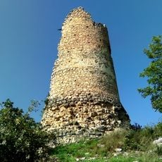
Torre di Magliano
11.4 km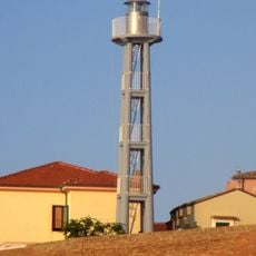
Termoli lighthouse
21 km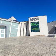
Museum of Contemporary Art in Termoli (Macte)
20 km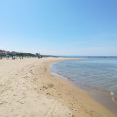
Spiaggia Litorale Nord
23 km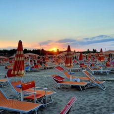
Lido Campomarino
16.3 km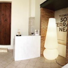
Termoli Sotterranea
21 km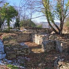
Castello di Gerione
16.5 km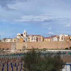
Borgo fortificato
21 km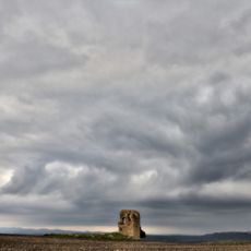
Ruins of Civitate
19 km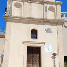
Chiesa di Sant'Anna
21.1 km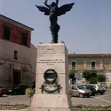
Monumento ai caduti della prima guerra mondiale
6 km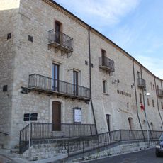
Palazzo Baronale
15.4 km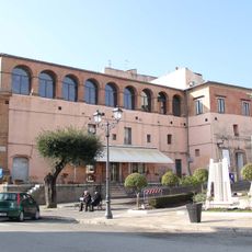
Castello
6.4 km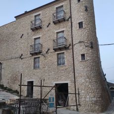
Castello
14.2 km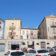
Palazzo Ducale
20.9 kmReviews
Visited this place? Tap the stars to rate it and share your experience / photos with the community! Try now! You can cancel it anytime.
Discover hidden gems everywhere you go!
From secret cafés to breathtaking viewpoints, skip the crowded tourist spots and find places that match your style. Our app makes it easy with voice search, smart filtering, route optimization, and insider tips from travelers worldwide. Download now for the complete mobile experience.

A unique approach to discovering new places❞
— Le Figaro
All the places worth exploring❞
— France Info
A tailor-made excursion in just a few clicks❞
— 20 Minutes