Markinkele, Mountain summit on Italy-Austria border, South Tyrol, Italy.
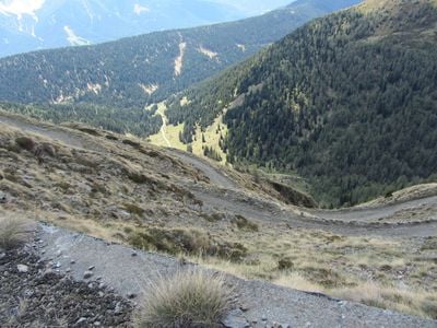
Cornetto di Confine is a mountain summit on the Italy-Austria border in the Villgraten Mountains at approximately 2,545 meters elevation. The peak features steep rocky slopes and multiple hiking trails that lead to the summit.
During World War I, the Italian Army built a military road to the summit that remains accessible today. This historical route continues to serve as a primary pathway for visitors ascending the mountain.
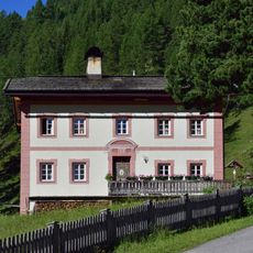
The mountain carries two names: Cornetto di Confine in Italian and Markinkele in German, reflecting the bilingual culture of South Tyrol. These dual designations show how the region is shaped by two cultures that coexist in this area.
Visitors can start their ascent from the Silvestertal parking area at approximately 1,550 meters, which reduces the elevation gain to about 1,000 meters. The trails are most easily accessed during the warmer months of the year.
Abandoned military shelters from the 1960s stand at the summit, offering evidence of the mountain's strategic importance for border defense operations. These structures reveal how crucial the peak was during the Cold War for regional security.
The community of curious travelers
AroundUs brings together thousands of curated places, local tips, and hidden gems, enriched daily by 60,000 contributors worldwide.