
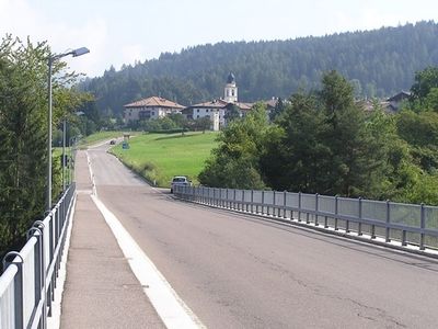
Amblar-Don, Italian comune
Location: Trentino
Elevation above the sea: 980 m
Shares border with: Kaltern an der Weinstraße, Cavareno, Predaia, Romeno, Sfruz, Tramin an der Weinstraße
Website: http://comune.amblardon.tn.it
GPS coordinates: 46.40000,11.15000
Latest update: March 10, 2025 13:35
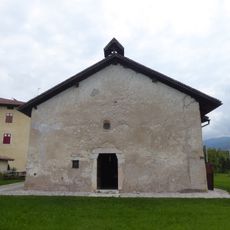
Saint Bartholomew church
3.2 km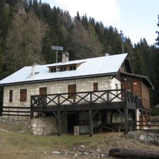
Rifugio Oltradige/Überetscher Hütte
5.4 km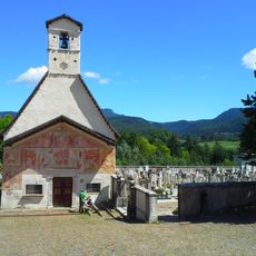
Saint Anthony the Great church
2.2 km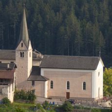
Saint Anthony church
2.5 km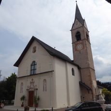
Santa Maria Assunta church
2.4 km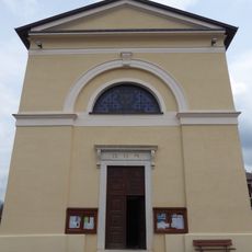
Saint Brigid church
1.6 km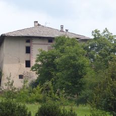
Castel Morenberg
2.2 km
Saint Mary Magdalene church
1.3 km
Saint Vigilius church
677 m
Dolomiti Golf Club
2.4 km
Saint Lawrence church
2.4 km
Blessed Virgin Mary church
2.2 km
Sankt Klaus von der Flüe
5 km
Our Lady of Snow church
4.7 km
Our Lady of Sorrows chapel
447 m
Saints Fabian and Sebastian church
1.4 km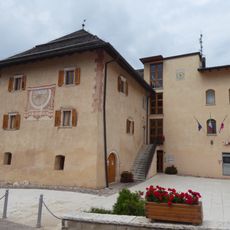
Palazzo Morenberg
2.3 km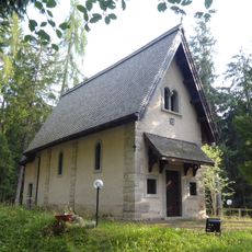
Santa Maria Assunta chapel
3.6 km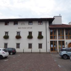
Town hall of Cavareno
1.3 km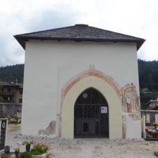
Saint Brigid chapel
1.7 km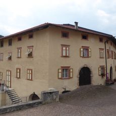
Casa Endrici
1.6 km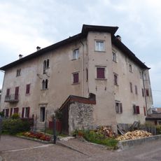
Palazzo De Campi
1.4 km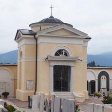
Our Lady of Sorrows chapel
1.6 km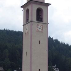
Campanile
1.7 km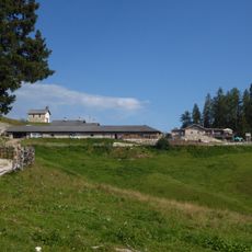
Malga Romeno
4.7 km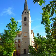
Campanile
1.4 km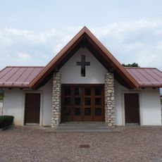
Cemetery chapel
1.3 km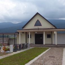
Cemetery chapel
2.1 kmReviews
Visited this place? Tap the stars to rate it and share your experience / photos with the community! Try now! You can cancel it anytime.
Discover hidden gems everywhere you go!
From secret cafés to breathtaking viewpoints, skip the crowded tourist spots and find places that match your style. Our app makes it easy with voice search, smart filtering, route optimization, and insider tips from travelers worldwide. Download now for the complete mobile experience.

A unique approach to discovering new places❞
— Le Figaro
All the places worth exploring❞
— France Info
A tailor-made excursion in just a few clicks❞
— 20 Minutes