
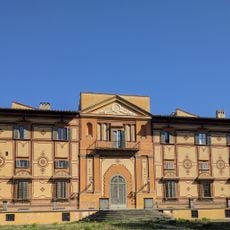
Palazzo comunale, building in Bagno a Ripoli, Italy
Location: Bagno a Ripoli
Inception: 1920s
Address: Piazza della Vittoria, 1
GPS coordinates: 43.75131,11.31972
Latest update: March 14, 2025 08:00
Villa Favard di Rovezzano
1.8 km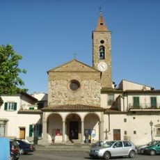
San Bartolomeo a Ripoli
1.7 km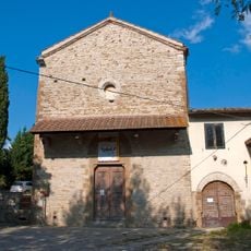
Santa Caterina delle Ruote
1.4 km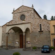
San Pietro a Ripoli
842 m
Bisarno Castle
1.7 km
Santa Maria a Quarto
659 m
Sorgane building La Nave
1.1 km
San Tommaso a Baroncelli
325 m
Villa I Cedri
938 m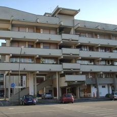
Sorgane building A
1.2 km
San Michele a Rovezzano
1.8 km
Oratorio del Crocifisso del Lume al Pratello
638 m
Sorgane building La Torre
1.1 km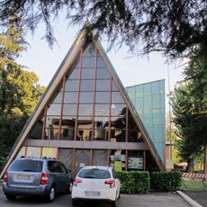
Resurrezione
1.5 km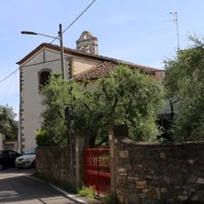
San Piero in Palco
1.8 km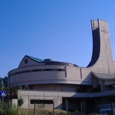
Chiesa della Pentecoste
440 m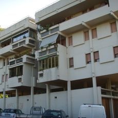
Sorgane building D
1.3 km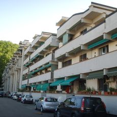
Sorgane building B
1.3 km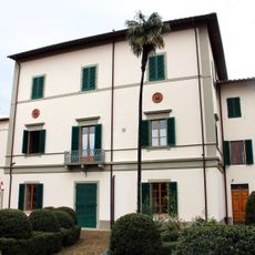
Istituto delle Suore di Badia
1.7 km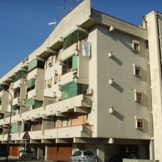
Sorgane building G
1.2 km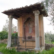
Tabernacolo di Rimaggino
1.7 km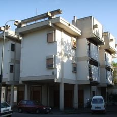
Sorgane building E
1.3 km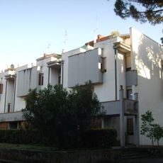
Sorgane building C2
1.3 km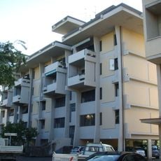
Sorgane building F
1.4 km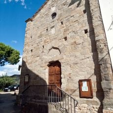
Oratorio Santa Croce a Varliano
1.5 km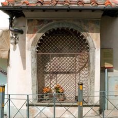
Tabernacolo del Podestà
121 m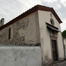
Santissima Annunziata
929 m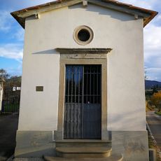
Chapel of the Crucifix
597 mReviews
Visited this place? Tap the stars to rate it and share your experience / photos with the community! Try now! You can cancel it anytime.
Discover hidden gems everywhere you go!
From secret cafés to breathtaking viewpoints, skip the crowded tourist spots and find places that match your style. Our app makes it easy with voice search, smart filtering, route optimization, and insider tips from travelers worldwide. Download now for the complete mobile experience.

A unique approach to discovering new places❞
— Le Figaro
All the places worth exploring❞
— France Info
A tailor-made excursion in just a few clicks❞
— 20 Minutes