
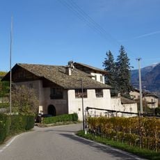
Urrebe Margreid, vite storica a Magré
Location: Margreid an der Weinstraße
Elevation above the sea: 220 m
Height: 5 cm
Part of: inhabited area
Address: Augustinhaus - Schlachthofgasse, 13
GPS coordinates: 46.28831,11.21023
Latest update: March 3, 2025 00:33

Schloss Nussegg
2.3 km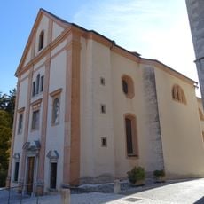
Saint Gertrude church
269 m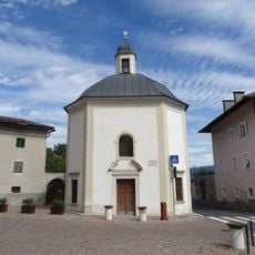
Our Lady chapel
203 m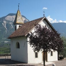
Our Lady chapel
1.3 km
Our Lady of the Snow chapel
2.3 km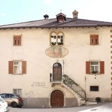
Pfarrwidum Margreid
336 m
St.-Gertraud-Platz 4
104 m
Fennhals mit Kapelle
2 km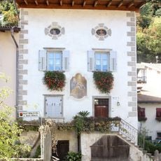
Josef-Alberti-Straße 21
132 m
Ansitz Fennhals
2 km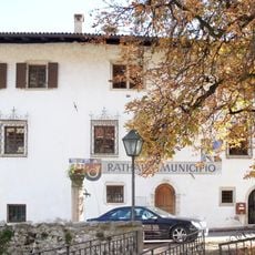
Rathaus Margreid
217 m
Voldersberg in Penon
1.7 km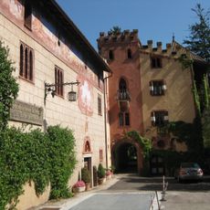
Tiefenthaler in Entiklar
1.4 km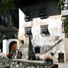
Stetten
165 m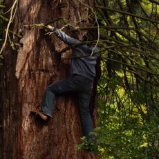
Sequoia gigante
2 km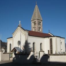
Sant Nicholas church
1.8 km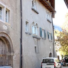
Pfarrgasse 10-14
227 m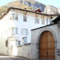
Salvadori
81 m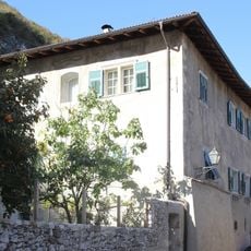
Pfarrgasse 16
244 m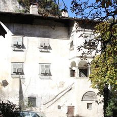
Königsegg
195 m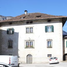
Brunner
158 m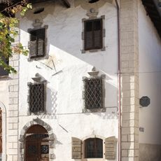
St.-Gertraud-Platz 3
104 m
Benefiziatenhaus in Unterfennberg
2.3 km
Saint Anne chapel
2 km
Hirschprunn
150 m
Josef-Alberti-Straße 13
175 m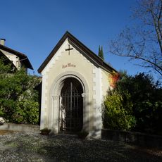
Lourdes chapel
236 m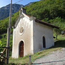
Holy Cross chapel
2.2 kmReviews
Visited this place? Tap the stars to rate it and share your experience / photos with the community! Try now! You can cancel it anytime.
Discover hidden gems everywhere you go!
From secret cafés to breathtaking viewpoints, skip the crowded tourist spots and find places that match your style. Our app makes it easy with voice search, smart filtering, route optimization, and insider tips from travelers worldwide. Download now for the complete mobile experience.

A unique approach to discovering new places❞
— Le Figaro
All the places worth exploring❞
— France Info
A tailor-made excursion in just a few clicks❞
— 20 Minutes