
Ex chiesa di Sant'Andrea, church in Careste - Bagno di Romagna (FC)
Location: Bagno di Romagna
Inception: 16 century
Address: via Careste ‒ Careste ‒ Bagno Di Romagna (FC)
GPS coordinates: 43.93685,12.09660
Latest update: March 31, 2025 11:06
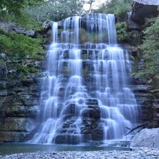
Cascata dell'Alferello
9.6 km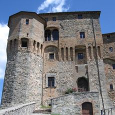
Rocca Fregoso
11.9 km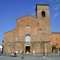
San Vicinio cathedral
4.3 km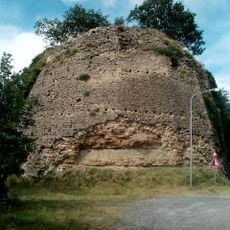
Castle of Giaggiolo
11.1 km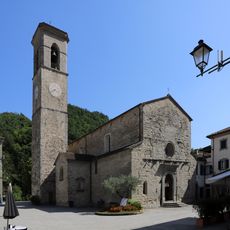
Santa Maria Assunta
15.9 km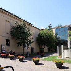
Museo archeologico nazionale
4.2 km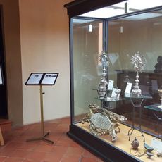
Diocesan museum of sacred art
4.3 km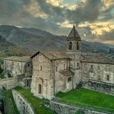
Castello di Cusercoli
14 km
Teatro Golfarelli
14.8 km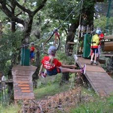
Parco Avventura Cà di Gianni
12.7 km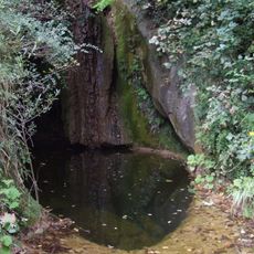
Parco delle Marmitte dei Giganti
4 km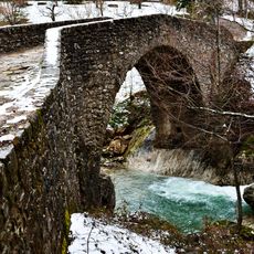
Ancient Roman bridge
10.9 km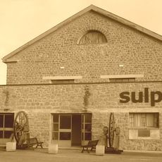
Sulphur museum
11.1 km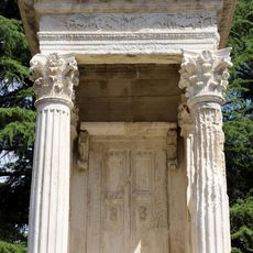
Monument to Aulus Murcius Obulaccus
4.3 km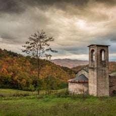
San Salvatore in Summano
1.8 km
Town hall
15.2 km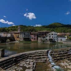
Ponte Vecchio
15.1 km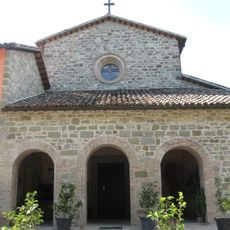
Chiesa dedicata a Sant'Antonio da Padova
12.1 km
Palazzo del Capitano
16 km
Chiesa di Santa Lucia
15.2 km
Chiesa di Santa Maria in Borgo
14.7 km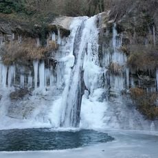
Careste presso Sarsina
765 m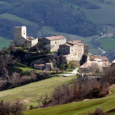
Chiesa Sant'Apollinare al Castello
15.8 km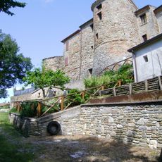
Borgo di Calbano
3.8 km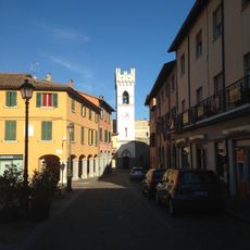
Torre neogotica
14.7 km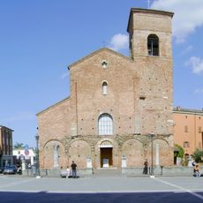
Piazza Plauto
4.2 km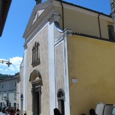
Collegiata di Sant'Agata
12 km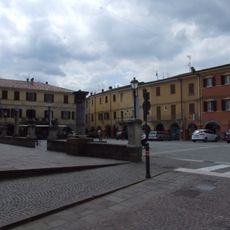
Piazza Tito Maccio Plauto
4.2 kmReviews
Visited this place? Tap the stars to rate it and share your experience / photos with the community! Try now! You can cancel it anytime.
Discover hidden gems everywhere you go!
From secret cafés to breathtaking viewpoints, skip the crowded tourist spots and find places that match your style. Our app makes it easy with voice search, smart filtering, route optimization, and insider tips from travelers worldwide. Download now for the complete mobile experience.

A unique approach to discovering new places❞
— Le Figaro
All the places worth exploring❞
— France Info
A tailor-made excursion in just a few clicks❞
— 20 Minutes